
| Distance / Altitude | Location | Report Date / Time | Live Weather | Wind | Gusts | Temp. | Visibility | Cloud |
|---|---|---|---|---|---|---|---|---|
| 109 km ESE / 14 m | Cartwright (Canada) | 2026-07-26 07:30 local (2026/07/26 10:00 GMT) | no report | light winds from the SW (7 km/h at 230) | 18°C | - | - | |
| 110 km ESE / 12 m | Cartwright Airport (Newfoundland) | 2026-07-26 06:30 local (2026/07/26 09:00 GMT) | Clear | light winds from the SSW (13 km/h at 210) | 20°C | 14 | ||
| 119 km NW / 345 m | Makkovik Airport (Newfoundland) | 2026-07-26 06:30 local (2026/07/26 09:00 GMT) | Dry and partly cloudy | light winds from the WSW (19 km/h at 240) | 21°C | 24 | broken | |
| 144 km SSW / 1 m | Goose Ua- Nfld (Canada) | 2026-07-26 07:30 local (2026/07/26 10:00 GMT) | - | - (- km/h at -) | — | - | - | |
| 146 km SW / 216 m | Goose Bay Airport (Newfoundland) | 2026-07-26 06:30 local (2026/07/26 09:00 GMT) | Dry and partly cloudy | light winds from the S (11 km/h at 180) | 20°C | 24 | few broken broken | |
| 188 km NW / 212 m | Hopedale Airport (Newfoundland) | 2026-07-26 06:30 local (2026/07/26 09:00 GMT) | - | fresh winds from the N (30 km/h at 0) | 19°C | 0.0 | ||
| 188 km NW / 10 m | Hopedale (Aut)- Nfld (Canada) | 2026-07-26 07:30 local (2026/07/26 10:00 GMT) | no report | - (- km/h at 320) | 12°C | - | - | |
| 268 km SE / 12 m | Mary s Harbour- Nfld (Canada) | 2026-07-26 07:30 local (2026/07/26 10:00 GMT) | - | moderate winds from the WSW (22 km/h at 250) | — | - | - | |
| 268 km SE / 217 m | Mary's Harbour Airport (Newfoundland) | 2026-07-26 06:30 local (2026/07/26 09:00 GMT) | Clear | light winds from the SSW (7 km/h at 200) | 15°C | 14 | ||
| 304 km SSE / 37 m | Lourdes DE Blanc Sablon A- Que (Canada) | 2026-07-26 07:30 local (2026/07/26 10:00 GMT) | no report | - (- km/h at -) | 10°C | - | - - - |
| Contours: | Roads & Rivers: | Select a
tide station / surf break / city |
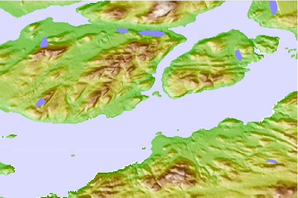
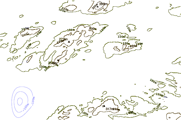
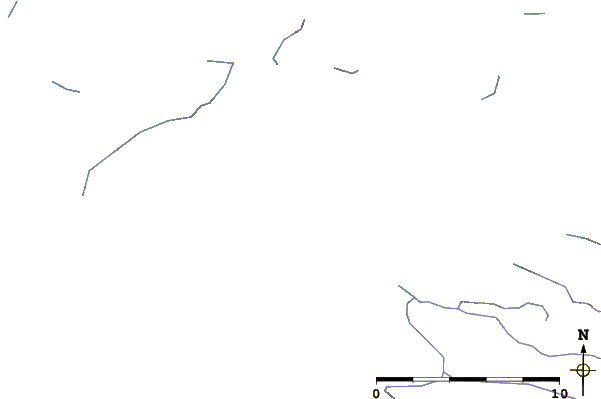
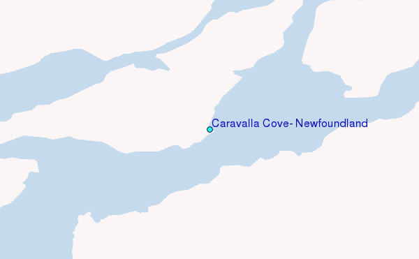
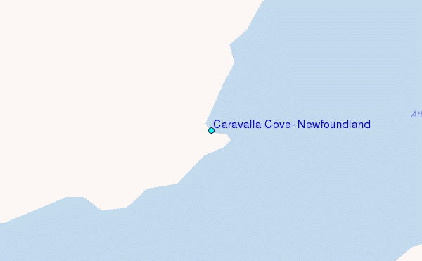
Use this relief map to navigate to tide stations, surf breaks and cities that are in the area of Caravalla Cove, Newfoundland.
Other Nearby Locations' tide tables and tide charts to Caravalla Cove, Newfoundland:
click location name for more details
 Surf breaks close to Caravalla Cove, Newfoundland:
|
||
|---|---|---|
| Closest surf break | Ingonish Beach | 518 mi |
| Second closest surf break | Kennington Cove | 569 mi |
| Third closest surf break | Michaud Point | 594 mi |
| Fourth closest surf break | Martinique | 679 mi |
| Fifth closest surf break | Lawrencetown Left Point | 684 mi |


 Nearest
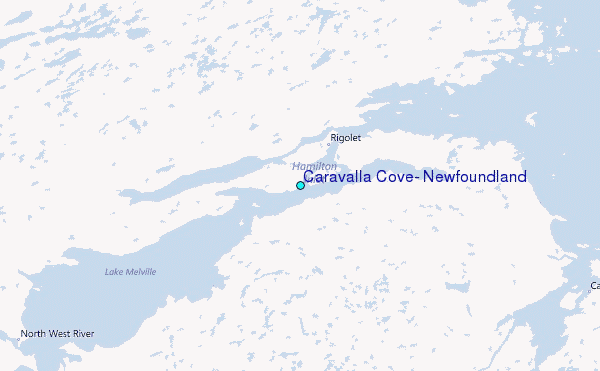