
| Distance / Altitude | Location | Report Date / Time | Live Weather | Wind | Gusts | Temp. | Visibility | Cloud |
|---|---|---|---|---|---|---|---|---|
| 18 km S / 32 m | Bay Roberts (Newfoundland) | 2026-07-26 07:53 local (2026/07/26 10:23 GMT) | dry | calm (0 km/h at 271) | 17°C | - | - - 0 | |
| 22 km S / 52 m | The Battery wx (Canada) | 2026-07-26 05:33 local (2026/07/26 08:03 GMT) | dry | calm (0 km/h at 253) | 13°C | - | - - 0 | |
| 26 km S / 3 m | SHIP288 (Marine) | 2026-07-26 05:30 local (2026/07/26 08:00 GMT) | calm (0 km/h at 360) | 13°C | - | |||
| 26 km S / 15 m | SHIP9445 (Marine) | 2026-07-26 05:30 local (2026/07/26 08:00 GMT) | calm (0.0 km/h at 360) | — | - km | |||
| 26 km S / 15 m | SHIP1975 (Marine) | 2026-07-26 05:30 local (2026/07/26 08:00 GMT) | calm (0.0 km/h at 360) | — | - km | |||
| 26 km S / 3 m | SHIP627 (Marine) | 2026-07-26 06:30 local (2026/07/26 09:00 GMT) | calm (4 km/h at 340) | 13°C | - | |||
| 26 km S / 15 m | SHIP2087 (Marine) | 2026-07-26 05:30 local (2026/07/26 08:00 GMT) | calm (0.0 km/h at 360) | — | - km | |||
| 26 km S / 3 m | SHIP3615 (Marine) | 2026-07-26 07:30 local (2026/07/26 10:00 GMT) | calm (2 km/h at 120) | 15°C | - | |||
| 26 km S / 3 m | SHIP937 (Marine) | 2026-07-26 07:30 local (2026/07/26 10:00 GMT) | calm (2 km/h at 120) | 15°C | - | |||
| 26 km S / 15 m | SHIP5159 (Marine) | 2026-07-26 06:30 local (2026/07/26 09:00 GMT) | calm (3.6 km/h at 340) | — | - km |
| Contours: | Roads & Rivers: | Select a
tide station / surf break / city |
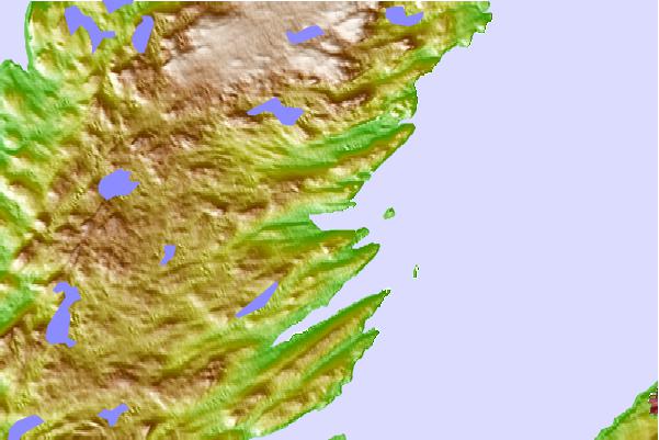
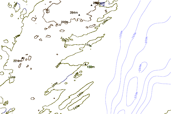
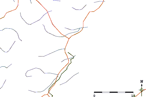
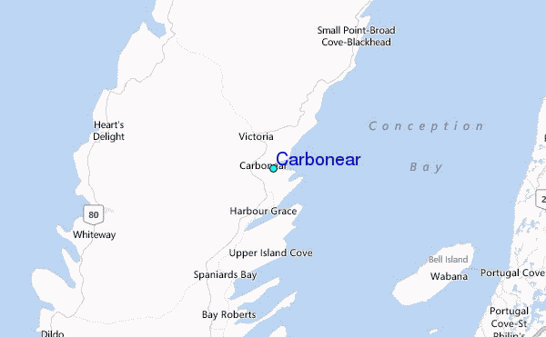
Use this relief map to navigate to tide stations, surf breaks and cities that are in the area of Carbonear.
Other Nearby Locations' tide tables and tide charts to Carbonear:
click location name for more details
 Surf breaks close to Carbonear:
|
||
|---|---|---|
| Closest surf break | Ingonish Beach | 346 mi |
| Second closest surf break | Kennington Cove | 348 mi |
| Third closest surf break | Michaud Point | 385 mi |
| Fourth closest surf break | Martinique | 520 mi |
| Fifth closest surf break | Lawrencetown Left Point | 528 mi |


 Nearest
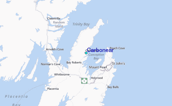