
| Distance / Altitude | Location | Report Date / Time | Live Weather | Wind | Gusts | Temp. | Visibility | Cloud |
|---|---|---|---|---|---|---|---|---|
| 1 km N / 14 m | Cartwright (Canada) | 2026-07-25 18:30 local (2026/07/25 21:00 GMT) | no report | wind obs. (7 kph from 230 degs) was rejected (- km/h at -) | 18°C | - | - - - | |
| 2 km S / 12 m | Cartwright Airport (Newfoundland) | 2026-07-25 19:30 local (2026/07/25 22:00 GMT) | Clear | light winds from the WSW (7 km/h at 240) | 25°C | 14 | ||
| 175 km SSE / 12 m | Mary s Harbour- Nfld (Canada) | 2026-07-25 19:30 local (2026/07/25 22:00 GMT) | no report | moderate winds from the WSW (22 km/h at 250) | 23°C | - | - | |
| 177 km SSE / 217 m | Mary's Harbour Airport (Newfoundland) | 2026-07-25 19:30 local (2026/07/25 22:00 GMT) | Clear | light winds from the WSW (13 km/h at 240) | 24°C | 14 | ||
| 228 km WSW / 216 m | Goose Bay Airport (Newfoundland) | 2026-07-25 19:30 local (2026/07/25 22:00 GMT) | Dry and partly cloudy | light winds from the WSW (13 km/h at 240) | 30°C | 24 | few few broken | |
| 251 km S / 37 m | Lourdes DE Blanc Sablon A- Que (Canada) | 2026-07-25 19:30 local (2026/07/25 22:00 GMT) | no report | - (- km/h at -) | 10°C | - | - - - | |
| 251 km S / 216 m | Blanc Sablon Airport (Quebec) | 2026-07-25 19:30 local (2026/07/25 22:00 GMT) | Dry and partly cloudy | light winds from the W.(Wind varies from 240 to 330 degs) (9 km/h at 270) | 14°C | 24 | broken | |
| 265 km SSE / 10 m | St. Lunaire - Griquet (Canada) | 2026-07-25 19:50 local (2026/07/25 22:20 GMT) | dry | light winds from the WSW (18 km/h at 237) | 21°C | - | - - 0 | |
| 265 km SSE / 33 m | St. Anthony- Nfld (Canada) | 2026-07-25 18:30 local (2026/07/25 21:00 GMT) | no report | strong winds from the SW (40 km/h at 230) | 19°C | - | - - - | |
| 266 km SSE / 196 m | Saint Anthony Airport (Newfoundland) | 2026-07-25 19:30 local (2026/07/25 22:00 GMT) | Clear | fresh winds from the WSW (30 km/h at 240) | 21°C | 14 |
| Contours: | Roads & Rivers: | Select a
tide station / surf break / city |
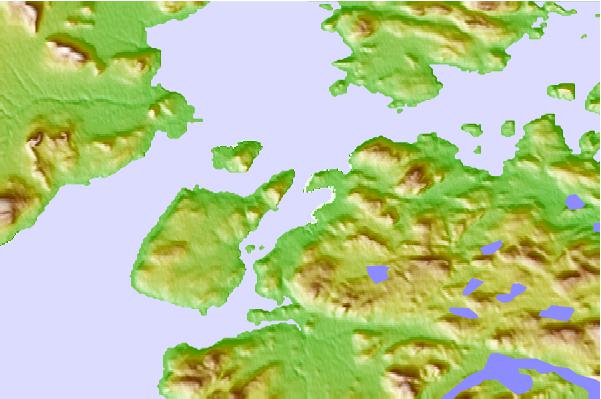
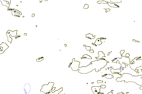
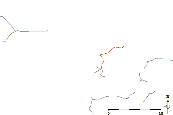
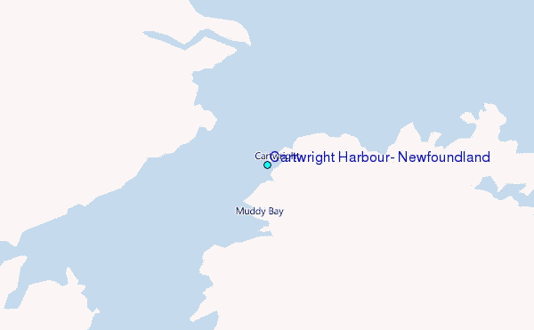
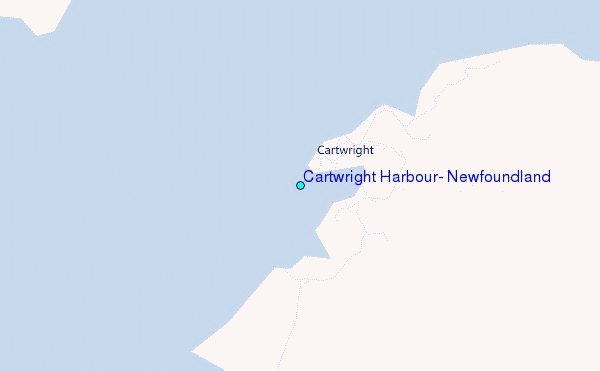
Use this relief map to navigate to tide stations, surf breaks and cities that are in the area of Cartwright Harbour, Newfoundland.
Other Nearby Locations' tide tables and tide charts to Cartwright Harbour, Newfoundland:
click location name for more details
 Surf breaks close to Cartwright Harbour, Newfoundland:
|
||
|---|---|---|
| Closest surf break | Ingonish Beach | 510 mi |
| Second closest surf break | Kennington Cove | 557 mi |
| Third closest surf break | Michaud Point | 585 mi |
| Fourth closest surf break | Martinique | 681 mi |
| Fifth closest surf break | Lawrencetown Left Point | 687 mi |


 Nearest
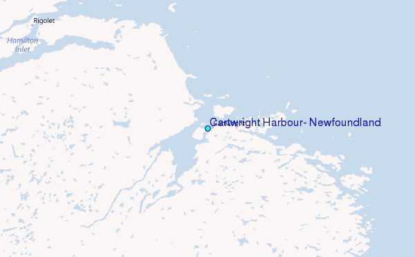