
| Distance / Altitude | Location | Report Date / Time | Live Weather | Wind | Gusts | Temp. | Visibility | Cloud |
|---|---|---|---|---|---|---|---|---|
| 54 km S / 15 m | SHIP1271 (Marine) | 2026-07-26 03:00 local (2026/07/26 10:00 GMT) | - (- km/h at -) | — | - km | |||
| 55 km SSE / 8 m | Estevan Point Cs- BC (Canada) | 2026-07-26 03:00 local (2026/07/26 10:00 GMT) | no report | wind obs. (14 kph from 340 degs) was rejected (- km/h at -) | 12°C | - | - | |
| 83 km NE / 10 m | Fanny Island (Canada) | 2026-07-26 03:00 local (2026/07/26 10:00 GMT) | no report | wind obs. (29 kph from 310 degs) was rejected (- km/h at -) | 11°C | - | - | |
| 85 km WSW / 3 m | South Brooks Buoy (Marine) | 2026-07-26 03:00 local (2026/07/26 10:00 GMT) | light winds from the S (7 km/h at 190) | 14°C | - | |||
| 90 km W / 216 m | Solander Island Airport (British Columbia) | 2026-07-26 02:00 local (2026/07/26 09:00 GMT) | - | fresh winds from the ESE (37 km/h at 110) | 13°C | 0.0 | ||
| 70 km NNE / 15 m | SHIP3042 (Marine) | 2026-07-26 01:00 local (2026/07/26 08:00 GMT) | - (- km/h at -) | — | - km | |||
| 70 km NNE / 3 m | SHIP4242 (Marine) | 2026-07-26 01:00 local (2026/07/26 08:00 GMT) | - (- km/h at -) | 14°C | - | |||
| 70 km NNE / 15 m | SHIP2098 (Marine) | 2026-07-26 01:00 local (2026/07/26 08:00 GMT) | - (- km/h at -) | — | - km | |||
| 70 km NNE / 15 m | SHIP6049 (Marine) | 2026-07-26 01:00 local (2026/07/26 08:00 GMT) | - (- km/h at -) | — | - km | |||
| 70 km NNE / 15 m | SHIP1996 (Marine) | 2026-07-26 01:00 local (2026/07/26 08:00 GMT) | - (- km/h at -) | — | - km |
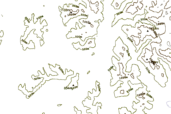
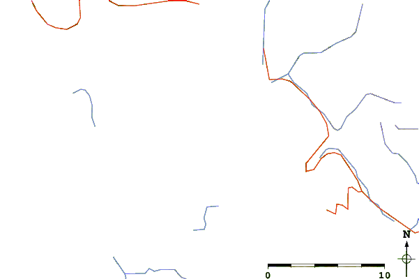
| Contours: | Roads & Rivers: | Select a
tide station / surf break / city |
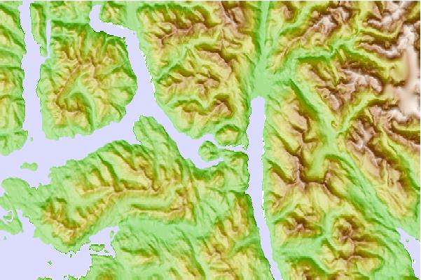
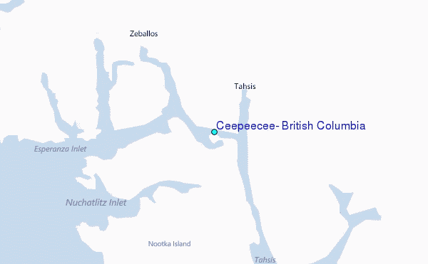
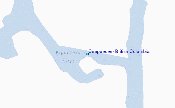
Use this relief map to navigate to tide stations, surf breaks and cities that are in the area of Ceepeecee, British Columbia.
Other Nearby Locations' tide tables and tide charts to Ceepeecee, British Columbia:
click location name for more details
 Surf breaks close to Ceepeecee, British Columbia:
|
||
|---|---|---|
| Closest surf break | Nootka Island (Calvin Bay) | 16 mi |
| Second closest surf break | Tofino (North Chestermans Beach) | 63 mi |
| Third closest surf break | South Chesterman Beach | 64 mi |
| Fourth closest surf break | Cox Bay | 65 mi |
| Fifth closest surf break | Rosie's Bay | 65 mi |


 Nearest
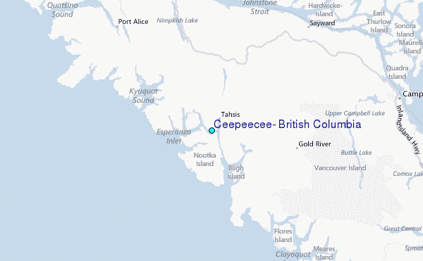