
| Distance / Altitude | Location | Report Date / Time | Live Weather | Wind | Gusts | Temp. | Visibility | Cloud |
|---|---|---|---|---|---|---|---|---|
| 47 km SSE / 89 m | Cape ST James Cs- BC (Canada) | 2026-07-26 02:00 local (2026/07/26 09:00 GMT) | no report | - (11 km/h at -) | 9°C | - | - - - | |
| 49 km SSE / 215 m | Cape Saint James Airport (British Columbia) | 2026-07-26 02:00 local (2026/07/26 09:00 GMT) | - | calm (4 km/h at 200) | — | 0.0 | ||
| 58 km S / 3 m | South Moresby Buoy (Marine) | 2026-07-26 03:00 local (2026/07/26 10:00 GMT) | light winds from the SSW (7 km/h at 210) | 13°C | - | |||
| 79 km NW / 216 m | Cumshewa Island Airport (British Columbia) | 2026-07-26 02:00 local (2026/07/26 09:00 GMT) | - | calm (2 km/h at 40) | 13°C | 0.0 | ||
| 81 km NW / 14 m | Cumshewa Island Airport (Canada) | 2026-07-26 03:00 local (2026/07/26 10:00 GMT) | no report | calm (4 km/h at 160) | 12°C | - | - - - | |
| 89 km SSW / 15 m | SHIP1964 (Marine) | 2026-07-26 01:00 local (2026/07/26 08:00 GMT) | - (- km/h at -) | — | - km | |||
| 89 km SSW / 15 m | SHIP5870 (Marine) | 2026-07-26 01:00 local (2026/07/26 08:00 GMT) | - (- km/h at -) | — | - km | |||
| 89 km SSW / 15 m | SHIP3010 (Marine) | 2026-07-26 01:00 local (2026/07/26 08:00 GMT) | - (- km/h at -) | — | - km | |||
| 89 km SSW / 3 m | SHIP2282 (Marine) | 2026-07-26 01:00 local (2026/07/26 08:00 GMT) | - (- km/h at -) | 13°C | - | |||
| 89 km SSW / 3 m | SHIP7445 (Marine) | 2026-07-26 01:00 local (2026/07/26 08:00 GMT) | - (- km/h at -) | 13°C | - |
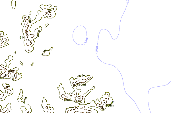
| Contours: | Roads & Rivers: | Select a
tide station / surf break / city |
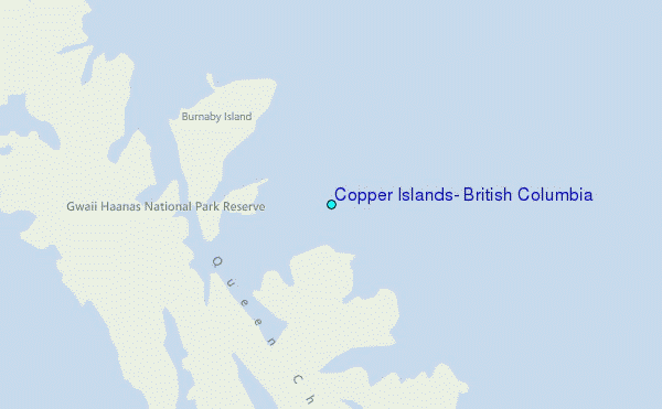
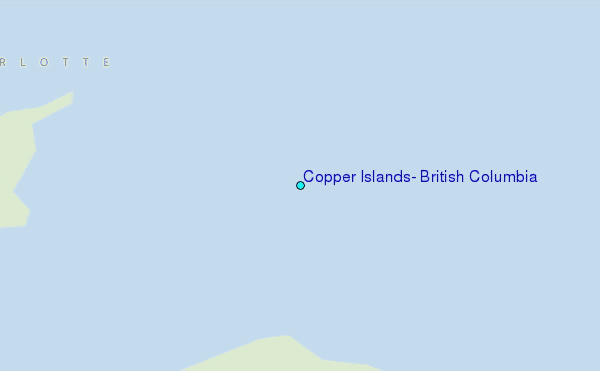
Use this relief map to navigate to tide stations, surf breaks and cities that are in the area of Copper Islands, British Columbia.
Other Nearby Locations' tide tables and tide charts to Copper Islands, British Columbia:
click location name for more details
 Surf breaks close to Copper Islands, British Columbia:
|
||
|---|---|---|
| Closest surf break | Tow Hill Beach | 122 mi |
| Second closest surf break | Lepus Beach (Haida-Gwaii) | 147 mi |
| Third closest surf break | Nootka Island (Calvin Bay) | 265 mi |
| Fourth closest surf break | Tofino (North Chestermans Beach) | 321 mi |
| Fifth closest surf break | South Chesterman Beach | 322 mi |


 Nearest
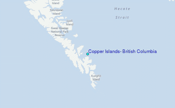