
| Distance / Altitude | Location | Report Date / Time | Live Weather | Wind | Gusts | Temp. | Visibility | Cloud |
|---|---|---|---|---|---|---|---|---|
| 19 km W / 22 m | Coral Harbour Airport (Canada) | 2026-07-26 06:00 local (2026/07/26 10:00 GMT) | no report | - (- km/h at -) | 3°C | - | - - - | |
| 315 km E / 50 m | Cape Dorset Climate- NU (Canada) | 2026-07-26 06:00 local (2026/07/26 10:00 GMT) | no report | moderate winds from the ENE (22 km/h at 70) | 0°C | - | - - - | |
| 316 km E / 217 m | Cape Dorset Airport (N.w. Territories) | 2026-07-26 05:00 local (2026/07/26 09:00 GMT) | Dry and cloudy | light winds from the E (15 km/h at 100) | 3°C | 0.0 | overcast | |
| 476 km SW / 217 m | Rankin Inlet Airport (N.w. Territories) | 2026-07-26 05:00 local (2026/07/26 09:00 GMT) | Dry and cloudy | light winds from the WNW (17 km/h at 300) | 11°C | 24 | broken overcast | |
| 476 km SW / 32 m | Rankin Inlet Airport (Canada) | 2026-07-26 05:00 local (2026/07/26 09:00 GMT) | no report | - (- km/h at -) | 3°C | - | - - - | |
| 523 km N / 210 m | Hall Beach Airport (N.w. Territories) | 2026-07-26 05:00 local (2026/07/26 09:00 GMT) | Clear | light winds from the NNE (13 km/h at 30) | 6°C | 14 | ||
| 524 km N / 8 m | Hall Beach (Canada) | 2026-07-26 06:00 local (2026/07/26 10:00 GMT) | - | wind obs. (22 kph from 300 degs) was rejected (- km/h at -) | — | - | - - - | |
| 546 km SE / 339 m | Puvirnituq Airport (Quebec) | 2026-07-26 05:42 local (2026/07/26 09:42 GMT) | Dry and partly cloudy | moderate winds from the S (22 km/h at 190) | — | 14 | few broken broken | |
| 571 km ESE / 503 m | Parc National Des Pingualuit- Que (Canada) | 2026-07-26 05:00 local (2026/07/26 09:00 GMT) | - | moderate winds from the WSW (22 km/h at 240) | — | - | - | |
| 577 km NW / 17 m | Kugaaruk Climate (Canada) | 2026-07-26 06:00 local (2026/07/26 10:00 GMT) | - | light winds from the N (7 km/h at 10) | — | - | - - - |
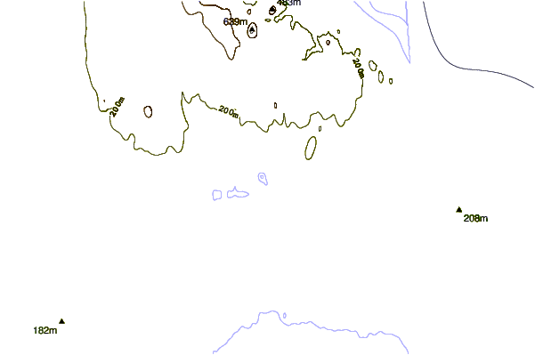
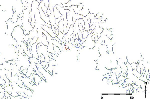
| Contours: | Roads & Rivers: | Select a
tide station / surf break / city |
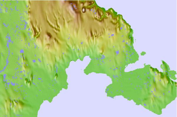
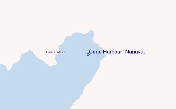
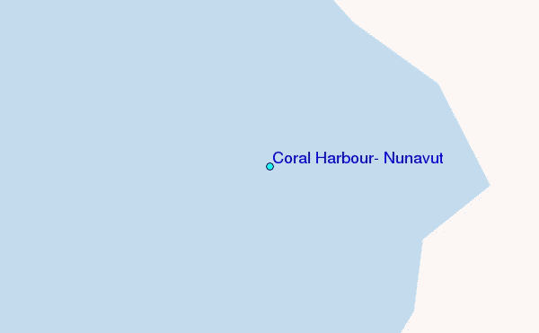
Use this relief map to navigate to tide stations, surf breaks and cities that are in the area of Coral Harbour, Nunavut.
Other Nearby Locations' tide tables and tide charts to Coral Harbour, Nunavut:
click location name for more details
 Surf breaks close to Coral Harbour, Nunavut:
|
||
|---|---|---|
| Closest surf break | Marathon | 1073 mi |
| Second closest surf break | Keweenaw Peninsula | 1169 mi |
| Third closest surf break | Alona Bay | 1175 mi |
| Fourth closest surf break | Apostle Islands | 1213 mi |
| Fifth closest surf break | Au Sable Point | 1213 mi |


 Nearest
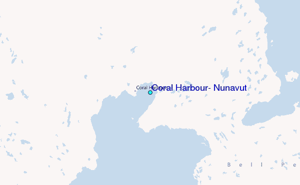