
| Distance / Altitude | Location | Report Date / Time | Live Weather | Wind | Gusts | Temp. | Visibility | Cloud |
|---|---|---|---|---|---|---|---|---|
| 64 km SE / 212 m | Hopedale Airport (Newfoundland) | 2026-07-26 06:30 local (2026/07/26 09:00 GMT) | - | fresh winds from the N (30 km/h at 0) | 19°C | 0.0 | ||
| 64 km SE / 10 m | Hopedale (Aut)- Nfld (Canada) | 2026-07-26 07:30 local (2026/07/26 10:00 GMT) | no report | - (- km/h at 320) | 12°C | - | - | |
| 86 km NW / 472 m | Nain Airport (Newfoundland) | 2026-07-26 06:30 local (2026/07/26 09:00 GMT) | Dry and partly cloudy | calm (0 km/h at 0) | 10°C | 24 | few broken | |
| 89 km NW / 12 m | Nain- Nfld (Canada) | 2026-07-26 07:30 local (2026/07/26 10:00 GMT) | no report | - (- km/h at -) | 15°C | - | - | |
| 142 km SE / 345 m | Makkovik Airport (Newfoundland) | 2026-07-26 06:30 local (2026/07/26 09:00 GMT) | Dry and partly cloudy | light winds from the WSW (19 km/h at 240) | 21°C | 24 | broken | |
| 181 km N / 15 m | SHIP5714 (Marine) | 2026-07-26 06:30 local (2026/07/26 09:00 GMT) | moderate winds from the WSW (20.52 km/h at 240) | 7°C | - km | |||
| 181 km N / 3 m | SHIP674 (Marine) | 2026-07-26 06:30 local (2026/07/26 09:00 GMT) | moderate winds from the WSW (21 km/h at 240) | 7°C | - | |||
| 181 km N / 3 m | SHIP2551 (Marine) | 2026-07-26 06:30 local (2026/07/26 09:00 GMT) | moderate winds from the WSW (21 km/h at 240) | 7°C | - | |||
| 181 km N / 3 m | SHIP3482 (Marine) | 2026-07-26 06:30 local (2026/07/26 09:00 GMT) | moderate winds from the WSW (21 km/h at 240) | 7°C | - | |||
| 181 km N / 3 m | SHIP770 (Marine) | 2026-07-26 06:30 local (2026/07/26 09:00 GMT) | moderate winds from the WSW (21 km/h at 240) | 7°C | - |
| Contours: | Roads & Rivers: | Select a
tide station / surf break / city |
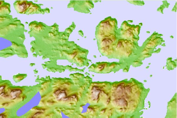
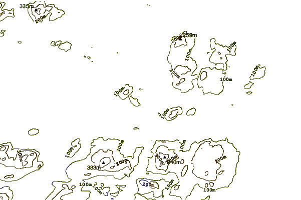

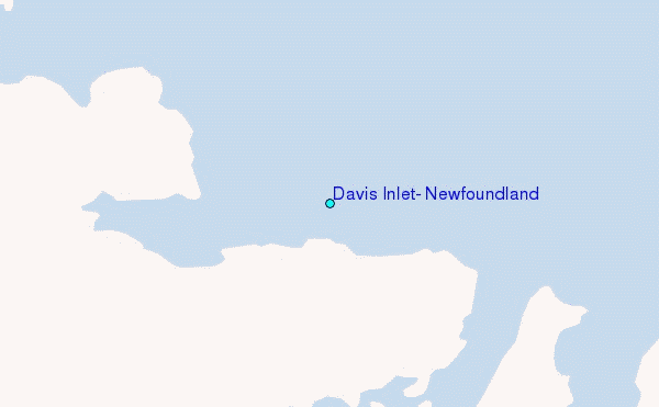
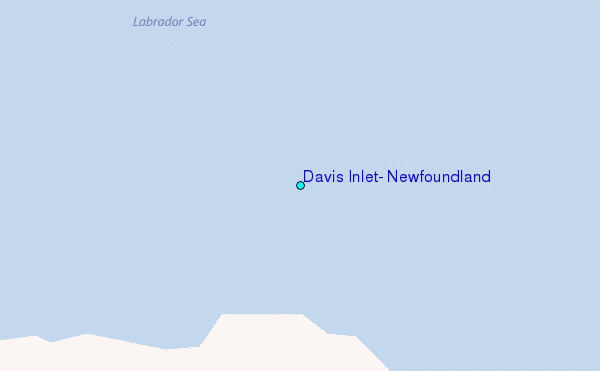
Use this relief map to navigate to tide stations, surf breaks and cities that are in the area of Davis Inlet, Newfoundland.
Other Nearby Locations' tide tables and tide charts to Davis Inlet, Newfoundland:
click location name for more details
 Surf breaks close to Davis Inlet, Newfoundland:
|
||
|---|---|---|
| Closest surf break | Ingonish Beach | 640 mi |
| Second closest surf break | Kennington Cove | 693 mi |
| Third closest surf break | Michaud Point | 713 mi |
| Fourth closest surf break | Martinique | 781 mi |
| Fifth closest surf break | Lawrencetown Left Point | 784 mi |


 Nearest
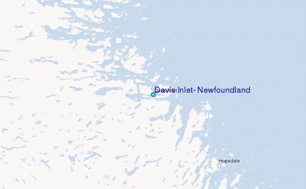