
| Distance / Altitude | Location | Report Date / Time | Live Weather | Wind | Gusts | Temp. | Visibility | Cloud |
|---|---|---|---|---|---|---|---|---|
| 186 km WNW / 707 m | Broughton Island Airport (N.w. Territories) | 2026-07-26 05:00 local (2026/07/26 09:00 GMT) | Clear | wind obs. (11 kph from 200 degs) was rejected (- km/h at -) | 3°C | 14 | ||
| 195 km WNW / 6 m | Qikiqtarjuaq Airport (Canada) | 2026-07-26 06:00 local (2026/07/26 10:00 GMT) | no report | calm (4 km/h at 20) | -1°C | - | - - - | |
| 213 km WSW / 23 m | Pangnirtung- NU (Canada) | 2026-07-26 06:00 local (2026/07/26 10:00 GMT) | no report | calm (4 km/h at 130) | 5°C | - | - - - | |
| 245 km SW / 3 m | SHIP1024 (Marine) | 2026-07-26 06:00 local (2026/07/26 10:00 GMT) | near gales from the SSW (59 km/h at 200) | 2°C | - | |||
| 246 km SW / 3 m | SHIP4006 (Marine) | 2026-07-26 06:00 local (2026/07/26 10:00 GMT) | near gales from the SSW (59 km/h at 200) | 2°C | - | |||
| 246 km SW / 15 m | SHIP2404 (Marine) | 2026-07-26 06:00 local (2026/07/26 10:00 GMT) | near gales from the SSW (59.4 km/h at 200) | 6°C | - km | |||
| 246 km SW / 15 m | SHIP4376 (Marine) | 2026-07-26 06:00 local (2026/07/26 10:00 GMT) | near gales from the SSW (59.4 km/h at 200) | 6°C | - km | |||
| 248 km SW / 3 m | SHIP8603 (Marine) | 2026-07-26 04:00 local (2026/07/26 08:00 GMT) | fresh winds from the S (35 km/h at 170) | 3°C | - | |||
| 248 km SW / 3 m | SHIP174 (Marine) | 2026-07-26 04:00 local (2026/07/26 08:00 GMT) | fresh winds from the S (35 km/h at 170) | 3°C | - | |||
| 248 km SW / 15 m | SHIP3688 (Marine) | 2026-07-26 04:00 local (2026/07/26 08:00 GMT) | fresh winds from the S (35.28 km/h at 170) | 6°C | - km |
| Contours: | Roads & Rivers: | Select a
tide station / surf break / city |
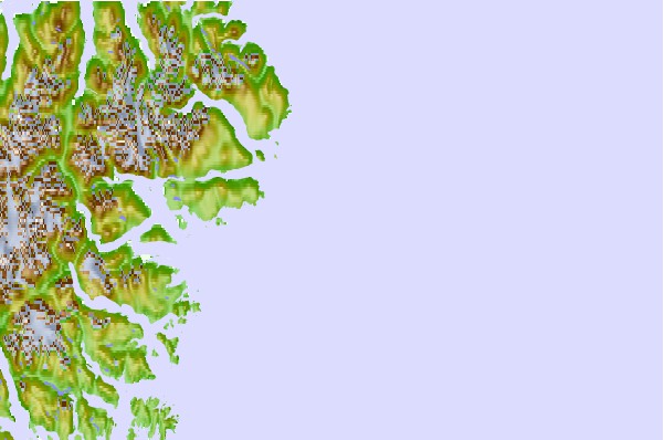
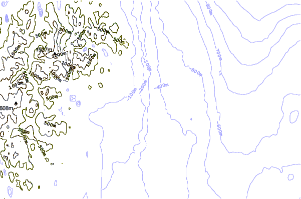
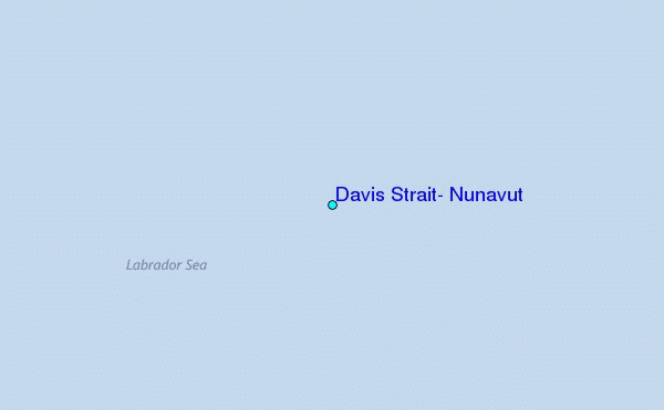
Use this relief map to navigate to tide stations, surf breaks and cities that are in the area of Davis Strait, Nunavut.
Other Nearby Locations' tide tables and tide charts to Davis Strait, Nunavut:
click location name for more details
 Surf breaks close to Davis Strait, Nunavut:
|
||
|---|---|---|
| Closest surf break | Garur | 1103 mi |
| Second closest surf break | Hafnir | 1108 mi |
| Third closest surf break | Sandvik | 1113 mi |
| Fourth closest surf break | Grindavik Antenas | 1117 mi |
| Fifth closest surf break | Grindavik Lighthouse ( Hopsnesta) | 1119 mi |


 Nearest
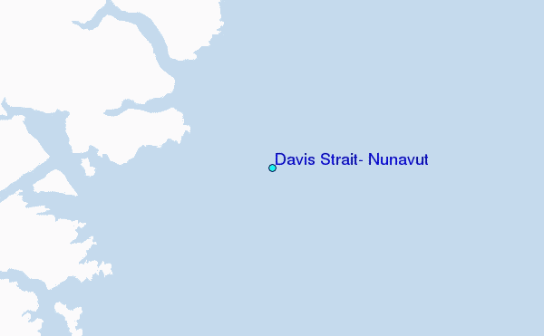