
| Distance / Altitude | Location | Report Date / Time | Live Weather | Wind | Gusts | Temp. | Visibility | Cloud |
|---|---|---|---|---|---|---|---|---|
| 95 km S / 217 m | Rankin Inlet Airport (N.w. Territories) | 2026-07-26 05:00 local (2026/07/26 09:00 GMT) | Dry and cloudy | light winds from the WNW (17 km/h at 300) | 11°C | 24 | broken overcast | |
| 95 km S / 32 m | Rankin Inlet Airport (Canada) | 2026-07-26 05:00 local (2026/07/26 09:00 GMT) | no report | - (- km/h at -) | 3°C | - | - - - | |
| 235 km W / 51 m | Baker Lake Climate- NU (Canada) | 2026-07-26 06:00 local (2026/07/26 10:00 GMT) | no report | light winds from the N (11 km/h at 360) | 3°C | - | - | |
| 237 km W / 214 m | Baker Lake Airport (N.w. Territories) | 2026-07-26 05:00 local (2026/07/26 09:00 GMT) | - | light winds from the NNW (7 km/h at 330) | 10°C | 16 | few | |
| 311 km S / 10 m | Arviat A- NU (Canada) | 2026-07-26 06:00 local (2026/07/26 10:00 GMT) | no report | light winds from the WNW (18 km/h at 290) | 5°C | - | - - - | |
| 311 km S / 215 m | Arviat Airport (N.w. Territories) | 2026-07-26 05:00 local (2026/07/26 09:00 GMT) | Dry and cloudy | light winds from the WNW (6 km/h at 300) | 8°C | 14 | overcast | |
| 403 km ENE / 22 m | Coral Harbour Airport (Canada) | 2026-07-26 06:00 local (2026/07/26 10:00 GMT) | no report | - (- km/h at -) | 3°C | - | - - - | |
| 553 km W / 244 m | Robertson Lake (Aut)- NU (Canada) | 2026-07-26 06:00 local (2026/07/26 10:00 GMT) | no report | wind obs. (25 kph from 240 degs) was rejected (- km/h at -) | 8°C | - | - - - | |
| 554 km N / 17 m | Kugaaruk Climate (Canada) | 2026-07-26 06:00 local (2026/07/26 10:00 GMT) | - | light winds from the N (7 km/h at 10) | — | - | - - - | |
| 559 km SW / 353 m | Ennadai Lake (Aut)- NU (Canada) | 2026-07-26 05:00 local (2026/07/26 09:00 GMT) | no report | fresh winds from the WSW (29 km/h at 240) | 7°C | - | - - - |
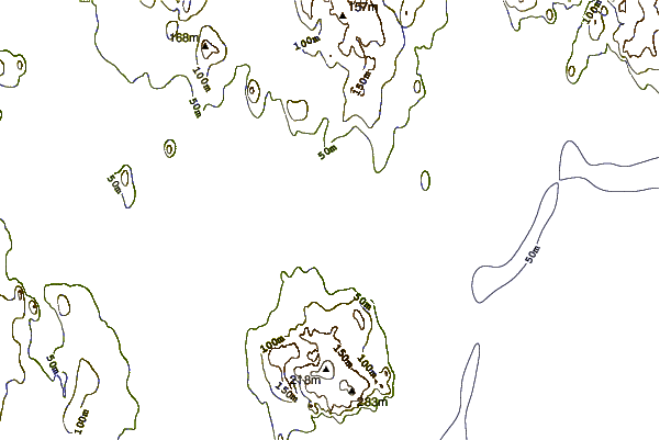
| Contours: | Roads & Rivers: | Select a
tide station / surf break / city |
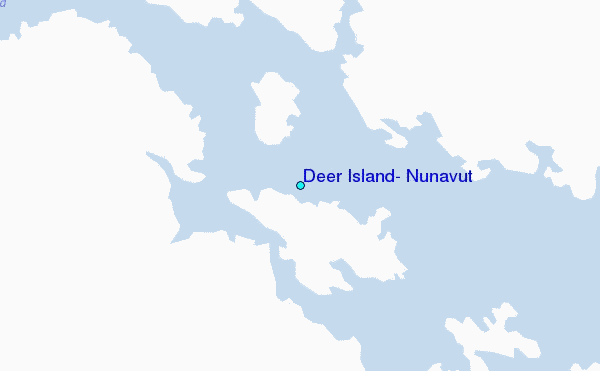
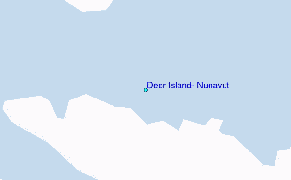
Use this relief map to navigate to tide stations, surf breaks and cities that are in the area of Deer Island, Nunavut.
Other Nearby Locations' tide tables and tide charts to Deer Island, Nunavut:
click location name for more details
 Surf breaks close to Deer Island, Nunavut:
|
||
|---|---|---|
| Closest surf break | Marathon | 1045 mi |
| Second closest surf break | Keweenaw Peninsula | 1124 mi |
| Third closest surf break | Apostle Islands | 1144 mi |
| Fourth closest surf break | Stoney Point | 1150 mi |
| Fifth closest surf break | Ontonagon | 1159 mi |


 Nearest
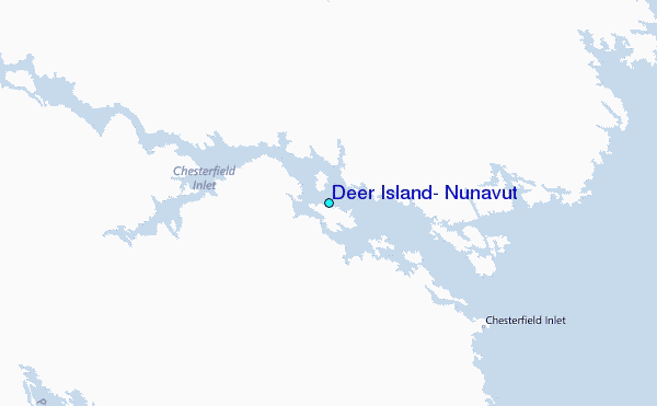