
| Distance / Altitude | Location | Report Date / Time | Live Weather | Wind | Gusts | Temp. | Visibility | Cloud |
|---|---|---|---|---|---|---|---|---|
| 5 km NNE / 75 m | Denman Island (Canada) | 2026-07-11 01:11 local (2026/07/11 08:11 GMT) | dry | calm (0 km/h at 311) | 14°C | - | - - 0 | |
| 17 km ENE / 3 m | SHIP4421 (Marine) | 2026-07-11 00:00 local (2026/07/11 07:00 GMT) | fresh winds from the NW (35 km/h at 320) | 15°C | - | |||
| 21 km NW / 216 m | Comox Millitary Base Airport (British Columbia) | 2026-07-11 00:00 local (2026/07/11 07:00 GMT) | - | light winds from the NW (13 km/h at 310) | 15°C | 32 | few few broken | |
| 21 km NW / 26 m | Cfb - Comox- BC (Canada) | 2026-07-11 01:00 local (2026/07/11 08:00 GMT) | no report | - (- km/h at -) | 15°C | - | - | |
| 27 km S / 89 m | Kleecoot wx (Canada) | 2026-07-11 01:25 local (2026/07/11 08:25 GMT) | dry | calm (0 km/h at 89) | 13°C | - | - - 0 | |
| 20 km NNE / 15 m | SHIP2578 (Marine) | 2026-07-11 00:00 local (2026/07/11 07:00 GMT) | - (- km/h at -) | — | - km | |||
| 20 km NNE / 3 m | SHIP4422 (Marine) | 2026-07-11 00:00 local (2026/07/11 07:00 GMT) | - (- km/h at -) | 14°C | - | |||
| 20 km NNE / 15 m | SHIP6549 (Marine) | 2026-07-11 00:00 local (2026/07/11 07:00 GMT) | fresh winds from the NW (35.28 km/h at 320) | — | - km | |||
| 20 km NNE / 15 m | SHIP5271 (Marine) | 2026-07-11 00:00 local (2026/07/11 07:00 GMT) | - (- km/h at -) | — | - km | |||
| 21 km NW / 216 m | Comox Millitary Base Airport (British Columbia) | 2026-07-11 00:00 local (2026/07/11 07:00 GMT) | - | light winds from the NW (13 km/h at 310) | 15°C | 32 | few few broken |
| Contours: | Roads & Rivers: | Select a
tide station / surf break / city |
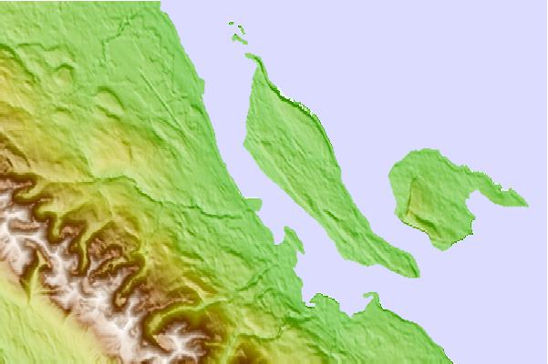
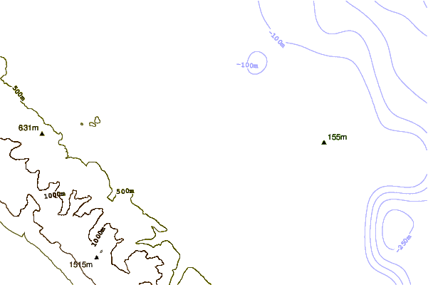
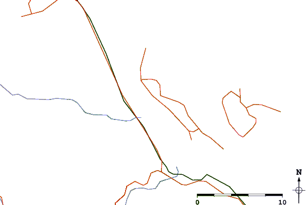
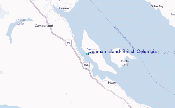
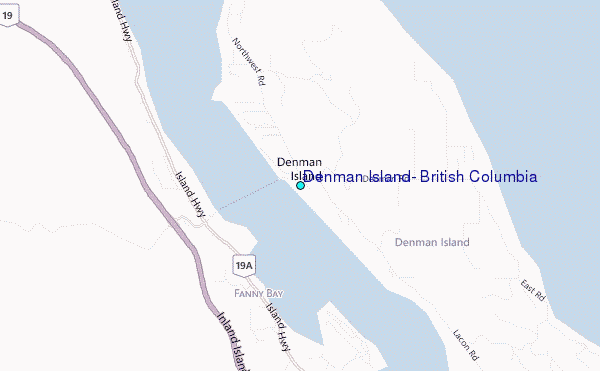
Use this relief map to navigate to tide stations, surf breaks and cities that are in the area of Denman Island, British Columbia.
Other Nearby Locations' tide tables and tide charts to Denman Island, British Columbia:
click location name for more details
 Surf breaks close to Denman Island, British Columbia:
|
||
|---|---|---|
| Closest surf break | Florencia Bay | 52 mi |
| Second closest surf break | Wickaninnish | 53 mi |
| Third closest surf break | Long Beach (Tofino Airport) | 53 mi |
| Fourth closest surf break | Rosie's Bay | 56 mi |
| Fifth closest surf break | South Chesterman Beach | 57 mi |


 Nearest
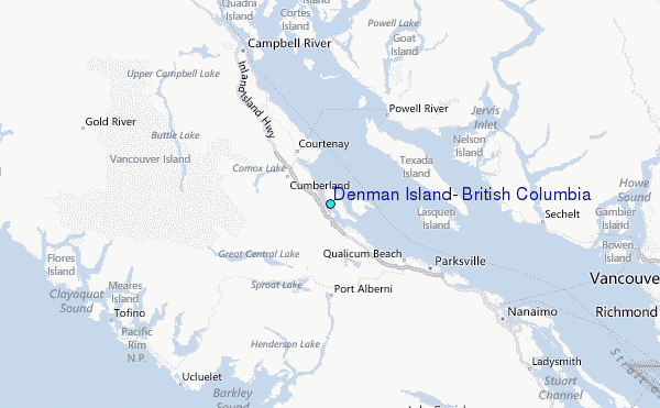