
| Distance / Altitude | Location | Report Date / Time | Live Weather | Wind | Gusts | Temp. | Visibility | Cloud |
|---|---|---|---|---|---|---|---|---|
| 70 km N / 15 m | ASCATB290E61N (Marine) | 2026-07-25 19:42 local (2026/07/25 23:42 GMT) | strong winds from the ESE (45 km/h at 113) | — | - km | |||
| 79 km NNE / 15 m | ASCATB291E61N (Marine) | 2026-07-25 19:42 local (2026/07/25 23:42 GMT) | near gales from the ESE (51 km/h at 107) | — | - km | |||
| 108 km NE / 15 m | ASCATB292E61N (Marine) | 2026-07-25 19:42 local (2026/07/25 23:42 GMT) | strong winds from the E (49 km/h at 97) | — | - km | |||
| 126 km SE / 15 m | ASCATB291E60N (Marine) | 2026-07-25 19:41 local (2026/07/25 23:41 GMT) | fresh winds from the E (37 km/h at 81) | — | - km | |||
| 130 km NNE / 15 m | ASCATB291E62N (Marine) | 2026-07-25 19:42 local (2026/07/25 23:42 GMT) | strong winds from the ESE (48 km/h at 118) | — | - km | |||
| 138 km NE / 15 m | ASCATB292E62N (Marine) | 2026-07-25 19:42 local (2026/07/25 23:42 GMT) | strong winds from the ESE (47 km/h at 103) | — | - km | |||
| 150 km N / 15 m | ASCATB290E62N (Marine) | 2026-07-25 19:42 local (2026/07/25 23:42 GMT) | strong winds from the ESE (44 km/h at 123) | — | - km | |||
| 158 km ENE / 15 m | ASCATB293E61N (Marine) | 2026-07-25 19:42 local (2026/07/25 23:42 GMT) | strong winds from the E (44 km/h at 84) | — | - km | |||
| 166 km SE / 15 m | ASCATB292E60N (Marine) | 2026-07-25 19:41 local (2026/07/25 23:41 GMT) | fresh winds from the ENE (30 km/h at 76) | — | - km | |||
| 170 km ENE / 15 m | ASCATB293E62N (Marine) | 2026-07-25 19:42 local (2026/07/25 23:42 GMT) | strong winds from the E (45 km/h at 93) | — | - km |
| Contours: | Roads & Rivers: | Select a
tide station / surf break / city |
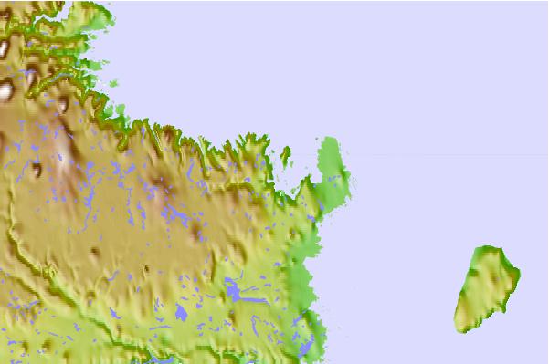
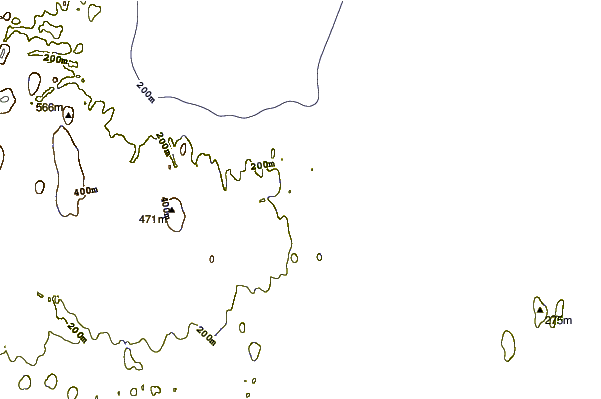
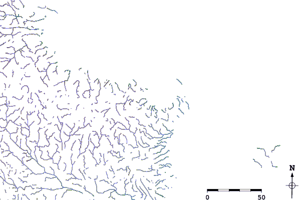
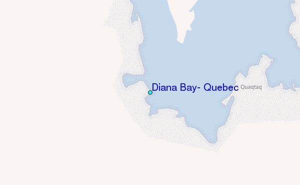
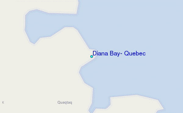
Use this relief map to navigate to tide stations, surf breaks and cities that are in the area of Diana Bay, Quebec.
Other Nearby Locations' tide tables and tide charts to Diana Bay, Quebec:
click location name for more details
 Surf breaks close to Diana Bay, Quebec:
|
||
|---|---|---|
| Closest surf break | Ingonish Beach | 1058 mi |
| Second closest surf break | Marathon | 1059 mi |
| Third closest surf break | Kennington Cove | 1112 mi |
| Fourth closest surf break | Alona Bay | 1113 mi |
| Fifth closest surf break | Michaud Point | 1124 mi |


 Nearest
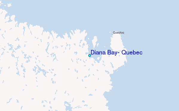