
| Distance / Altitude | Location | Report Date / Time | Live Weather | Wind | Gusts | Temp. | Visibility | Cloud |
|---|---|---|---|---|---|---|---|---|
| 21 km SSW / 0 m | Marollegat (Netherlands) | 2026-07-09 20:00 local (2026/07/09 18:00 GMT) | no report | moderate winds from the NNE (22 km/h at 20) | — | - | - | |
| 21 km S / 219 m | Woensdrecht Royal Netherlands Air Force Base Airport (Netherlands) | 2026-07-09 20:25 local (2026/07/09 18:25 GMT) | Dry and partly cloudy | light winds from the NE.(Wind varies from 010 to 080 degs) (15 km/h at 50) | 26°C | 10.0 | no cloud | |
| 21 km S / 16 m | Woensdrecht (Netherlands) | 2026-07-09 21:00 local (2026/07/09 19:00 GMT) | no report | light winds from the NNE (18 km/h at 30) | 20°C | 30 | - | |
| 26 km WSW / 2 m | Stavenisse (Netherlands) | 2026-07-09 20:00 local (2026/07/09 18:00 GMT) | no report | light winds from the SW (18 km/h at 230) | — | - | - | |
| 29 km N / 4 m | Rotterdam Geulhaven (Netherlands) | 2026-07-09 21:00 local (2026/07/09 19:00 GMT) | no report | light winds from the NNE (14 km/h at 30) | — | - | - - - | |
| 33 km SSW / 2 m | Hansweert (Netherlands) | 2026-07-09 20:00 local (2026/07/09 18:00 GMT) | no report | light winds from the N (18 km/h at 10) | — | - | - | |
| 34 km S / 6 m | Stabroek (Belgium) | 2026-07-09 20:00 local (2026/07/09 18:00 GMT) | no report | light winds from the SW (11 km/h at 230) | 19°C | - | - | |
| 34 km SW / 1 m | Wilhelminadorp Automatic Weather Station (Netherlands) | 2026-07-09 20:00 local (2026/07/09 18:00 GMT) | no report | light winds from the SW (14 km/h at 220) | 18°C | - | - - - | |
| 35 km NW / 3 m | SHIP459 (Marine) | 2026-07-09 19:00 local (2026/07/09 17:00 GMT) | - (- km/h at -) | 26°C | - | |||
| 35 km NW / 3 m | SHIP3176 (Marine) | 2026-07-09 20:00 local (2026/07/09 18:00 GMT) | - (- km/h at -) | 25°C | - |
| Contours: | Roads & Rivers: | Select a
tide station / surf break / city |
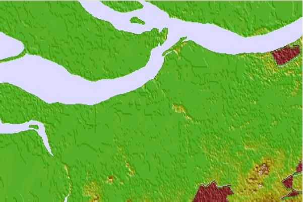

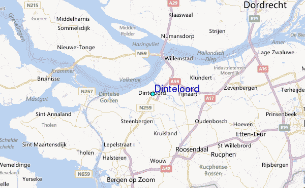
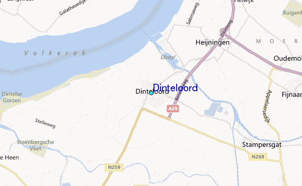
Use this relief map to navigate to tide stations, surf breaks and cities that are in the area of Dinteloord.
Other Nearby Locations' tide tables and tide charts to Dinteloord:
click location name for more details
 Surf breaks close to Dinteloord:
|
||
|---|---|---|
| Closest surf break | Blokken | 23 mi |
| Second closest surf break | Slufter | 23 mi |
| Third closest surf break | Maasvlakte | 24 mi |
| Fourth closest surf break | Maasexpress | 26 mi |
| Fifth closest surf break | Ter Heijde | 29 mi |


 Nearest
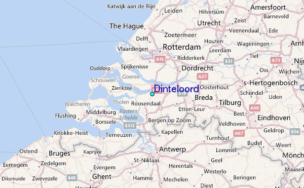