
| Distance / Altitude | Location | Report Date / Time | Live Weather | Wind | Gusts | Temp. | Visibility | Cloud |
|---|---|---|---|---|---|---|---|---|
| 87 km SSW / 503 m | Parc National Des Pingualuit- Que (Canada) | 2026-07-26 05:00 local (2026/07/26 09:00 GMT) | - | moderate winds from the WSW (22 km/h at 240) | — | - | - | |
| 291 km NE / 34 m | Iqaluit (Canada) | 2026-07-26 06:00 local (2026/07/26 10:00 GMT) | no report | calm (4 km/h at 150) | 2°C | - | - | |
| 292 km NE / 217 m | Frobisher/Iqaluit Airport (N.w. Territories) | 2026-07-26 05:00 local (2026/07/26 09:00 GMT) | Light rain | moderate winds from the SSE (22 km/h at 150) | 2°C | 13 | overcast | |
| 323 km WNW / 217 m | Cape Dorset Airport (N.w. Territories) | 2026-07-26 05:00 local (2026/07/26 09:00 GMT) | Dry and cloudy | light winds from the E (15 km/h at 100) | 3°C | 0.0 | overcast | |
| 325 km WNW / 50 m | Cape Dorset Climate- NU (Canada) | 2026-07-26 06:00 local (2026/07/26 10:00 GMT) | no report | moderate winds from the ENE (22 km/h at 70) | 0°C | - | - - - | |
| 328 km SSW / 339 m | Puvirnituq Airport (Quebec) | 2026-07-26 05:42 local (2026/07/26 09:42 GMT) | Dry and partly cloudy | moderate winds from the S (22 km/h at 190) | — | 14 | few broken broken | |
| 447 km S / 171 m | Riviere Aux Feuilles- Que (Canada) | 2026-07-26 06:00 local (2026/07/26 10:00 GMT) | no report | strong winds from the W (40 km/h at 260) | 4°C | - | - | |
| 484 km SSE / 123 m | Kuujjuaq- Ua- Que (Canada) | 2026-07-26 05:40 local (2026/07/26 09:40 GMT) | - | - (- km/h at -) | — | - | - | |
| 485 km SSE / 216 m | Kuujjuaq Airport (Quebec) | 2026-07-26 05:41 local (2026/07/26 09:41 GMT) | Moderate rain | light winds from the NW.(Wind varies from 270 to 340 degs) (9 km/h at 320) | 13°C | 5 | scattered overcast | |
| 489 km SSW / 1 m | Inukjuak Ua- Que (Canada) | 2026-07-26 05:41 local (2026/07/26 09:41 GMT) | Dry and partly cloudy | light winds from the SSW (19 km/h at 210) | 8°C | 14 | scattered broken - |
| Contours: | Roads & Rivers: | Select a
tide station / surf break / city |
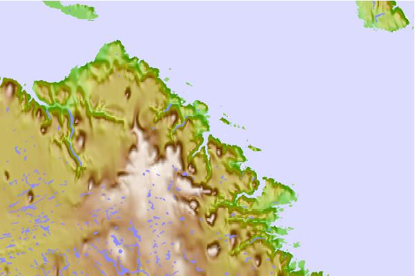
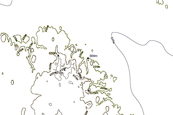
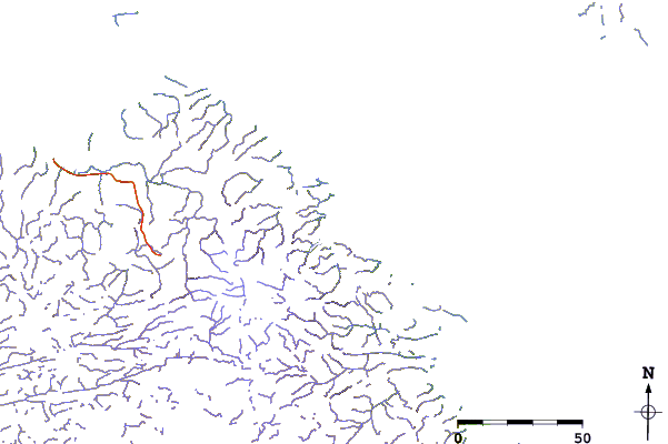
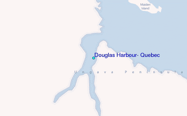
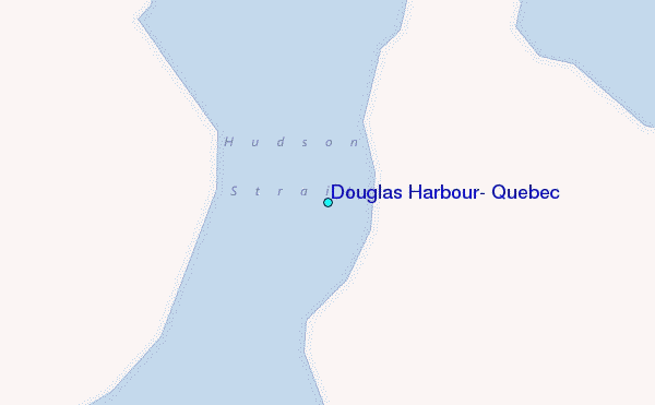
Use this relief map to navigate to tide stations, surf breaks and cities that are in the area of Douglas Harbour, Quebec.
Other Nearby Locations' tide tables and tide charts to Douglas Harbour, Quebec:
click location name for more details
 Surf breaks close to Douglas Harbour, Quebec:
|
||
|---|---|---|
| Closest surf break | Marathon | 1058 mi |
| Second closest surf break | Alona Bay | 1125 mi |
| Third closest surf break | Ingonish Beach | 1162 mi |
| Fourth closest surf break | Keweenaw Peninsula | 1170 mi |
| Fifth closest surf break | Grand Marias | 1181 mi |


 Nearest
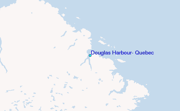