
| Distance / Altitude | Location | Report Date / Time | Live Weather | Wind | Gusts | Temp. | Visibility | Cloud |
|---|---|---|---|---|---|---|---|---|
| 7 km N / 4 m | Marshfield Airport (Massachusetts) | 2026-07-28 15:35 local (2026/07/28 19:35 GMT) | - | light winds from the SSW (17 km/h at 200) | 27°C | 16 | few | |
| 14 km S / 209 m | Plymouth Airport (Massachusetts) | 2026-07-28 15:43 local (2026/07/28 19:43 GMT) | Dry and partly cloudy | light winds from the S (15 km/h at 190) | 25°C | 16 | scattered broken broken | |
| 18 km NW / 31 m | Scituate (Massachusetts) | 2026-07-28 15:32 local (2026/07/28 19:32 GMT) | dry | calm (2 km/h at 259) | 27°C | - | - - 0 | |
| 18 km WNW / 36 m | Assinippi wx (United States) | 2026-07-28 16:08 local (2026/07/28 20:08 GMT) | dry | wind obs. (6 kph from 226 degs) was rejected (- km/h at -) | 26°C | - | - - 0 | |
| 20 km NW / 40 m | Scituate Center wx (United States) | 2026-07-28 15:22 local (2026/07/28 19:22 GMT) | dry | calm (0 km/h at 177) | 27°C | - | - - 0 | |
| 20 km WNW / 37 m | North Hanover wx (United States) | 2026-07-28 15:40 local (2026/07/28 19:40 GMT) | dry | light winds from the SSW (14 km/h at 200) | 26°C | - | - - 0 | |
| 31 km WNW / 19 m | Weymouth (Massachusetts) | 2026-07-28 15:33 local (2026/07/28 19:33 GMT) | dry | light winds from the SSE (8 km/h at 168) | 29°C | - | - - 0 | |
| 32 km WNW / 16 m | North Weymouth (Massachusetts) | 2026-07-28 16:17 local (2026/07/28 20:17 GMT) | dry | wind obs. (6 kph from 302 degs) was rejected (- km/h at -) | 27°C | - | - - 0 | |
| 34 km SW / 219 m | Taunton Airport (Massachusetts) | 2026-07-28 15:29 local (2026/07/28 19:29 GMT) | Dry and partly cloudy | light winds from the S.(Wind varies from 160 to 220 degs) (15 km/h at 190) | 26°C | 16 | scattered scattered broken | |
| 35 km N / 3 m | Boston Buoy (Marine) | 2026-07-28 15:50 local (2026/07/28 19:50 GMT) | fresh winds from the SSE (29 km/h at 160) | 22°C | - |
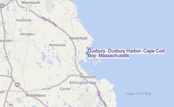
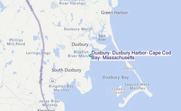
Choose Duxbury, Duxbury Harbor, Cape Cod Bay, Massachusetts Location Map Zoom:
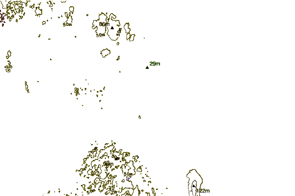
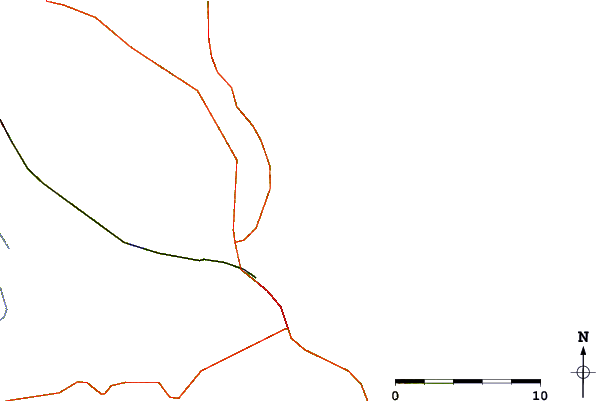
| Contours: | Roads & Rivers: | Select a
tide station / surf break / city |
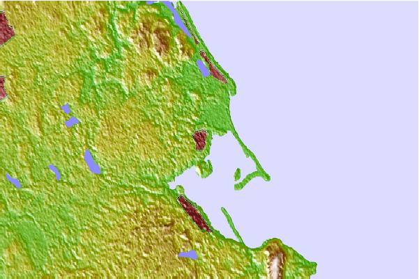
Use this relief map to navigate to tide stations, surf breaks and cities that are in the area of Duxbury, Duxbury Harbor, Cape Cod Bay, Massachusetts.
Other Nearby Locations' tide tables and tide charts to Duxbury, Duxbury Harbor, Cape Cod Bay, Massachusetts:
click location name for more details
 Surf breaks close to Duxbury, Duxbury Harbor, Cape Cod Bay, Massachusetts:
|
||
|---|---|---|
| Closest surf break | Green Harbor | 3 mi |
| Second closest surf break | Marshfield Jetty | 4 mi |
| Third closest surf break | Brant Rock | 4 mi |
| Fourth closest surf break | Fieldstone | 6 mi |
| Fifth closest surf break | Rexham | 8 mi |


 Nearest
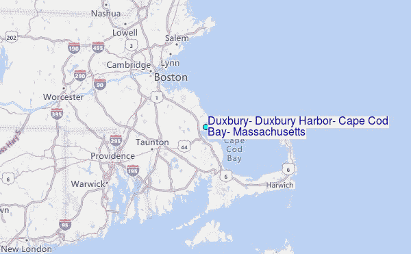