
| Distance / Altitude | Location | Report Date / Time | Live Weather | Wind | Gusts | Temp. | Visibility | Cloud |
|---|---|---|---|---|---|---|---|---|
| 2 km S / 215 m | Arviat Airport (N.w. Territories) | 2026-07-26 04:00 local (2026/07/26 09:00 GMT) | Dry and cloudy | light winds from the WNW (6 km/h at 300) | 8°C | 14 | overcast | |
| 3 km S / 10 m | Arviat A- NU (Canada) | 2026-07-26 05:00 local (2026/07/26 10:00 GMT) | no report | light winds from the WNW (18 km/h at 290) | 5°C | - | - - - | |
| 215 km NNE / 217 m | Rankin Inlet Airport (N.w. Territories) | 2026-07-26 04:00 local (2026/07/26 09:00 GMT) | Dry and cloudy | light winds from the WNW (17 km/h at 300) | 11°C | 24 | broken overcast | |
| 215 km NNE / 32 m | Rankin Inlet Airport (Canada) | 2026-07-26 04:00 local (2026/07/26 09:00 GMT) | no report | - (- km/h at -) | 3°C | - | - - - | |
| 264 km S / 216 m | Churchill Airport (Manitoba) | 2026-07-26 04:00 local (2026/07/26 09:00 GMT) | - | light winds from the WNW (11 km/h at 290) | 9°C | 24 | few | |
| 265 km S / 28 m | Churchill Climate- Man (Canada) | 2026-07-26 05:00 local (2026/07/26 10:00 GMT) | no report | light winds from the WNW (11 km/h at 290) | 7°C | - | - - - | |
| 365 km SSW / 262 m | Tadoule Lake Cs- Man (Canada) | 2026-07-26 05:00 local (2026/07/26 10:00 GMT) | - | calm (4 km/h at 300) | — | - | - - - | |
| 366 km SSW / 262 m | Tadoule Lake (Manitoba) | 2026-07-26 04:42 local (2026/07/26 09:42 GMT) | Clear | calm (4 km/h at 360) | 8°C | 14 | few broken overcast | |
| 367 km NW / 214 m | Baker Lake Airport (N.w. Territories) | 2026-07-26 04:00 local (2026/07/26 09:00 GMT) | - | light winds from the NNW (7 km/h at 330) | 10°C | 16 | few | |
| 367 km WSW / 353 m | Ennadai Lake (Aut)- NU (Canada) | 2026-07-26 04:00 local (2026/07/26 09:00 GMT) | no report | fresh winds from the WSW (29 km/h at 240) | 7°C | - | - - - |
| Contours: | Roads & Rivers: | Select a
tide station / surf break / city |
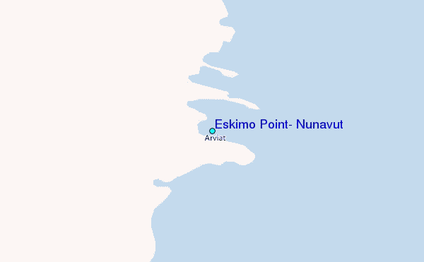
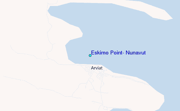
Use this relief map to navigate to tide stations, surf breaks and cities that are in the area of Eskimo Point, Nunavut.
Other Nearby Locations' tide tables and tide charts to Eskimo Point, Nunavut:
click location name for more details
 Surf breaks close to Eskimo Point, Nunavut:
|
||
|---|---|---|
| Closest surf break | Marathon | 906 mi |
| Second closest surf break | Keweenaw Peninsula | 973 mi |
| Third closest surf break | Apostle Islands | 981 mi |
| Fourth closest surf break | Stoney Point | 982 mi |
| Fifth closest surf break | Lester River | 994 mi |


 Nearest
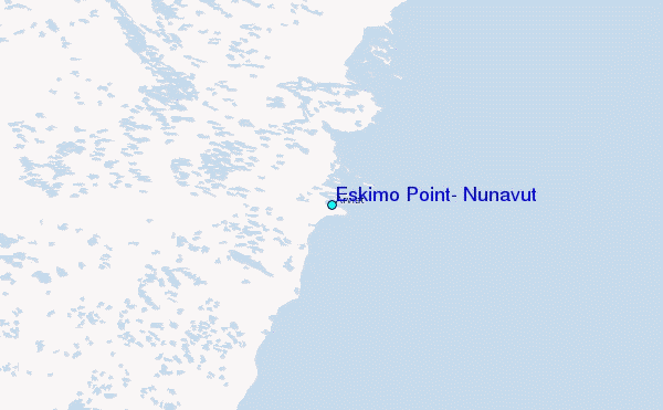