
| Distance / Altitude | Location | Report Date / Time | Live Weather | Wind | Gusts | Temp. | Visibility | Cloud |
|---|---|---|---|---|---|---|---|---|
| 92 km ESE / 195 m | LA Grande Riviere A- Que (Canada) | 2026-07-26 00:00 local (2026/07/26 04:00 GMT) | no report | - (- km/h at -) | 6°C | - | - - - | |
| 93 km ESE / 217 m | La Grande Rivier Airport (Quebec) | 2026-07-26 00:00 local (2026/07/26 04:00 GMT) | Drizzle | light winds from the NNW.(Wind varies from 310 to 020 degs) (11 km/h at 340) | 9°C | 11 | overcast | |
| 178 km NNE / 164 m | Kuujjuarapik Airport (Quebec) | 2026-07-26 00:00 local (2026/07/26 04:00 GMT) | Dry and cloudy | light winds from the WNW.(Wind varies from 250 to 330 degs) (6 km/h at 300) | 8°C | 14 | overcast | |
| 180 km NNE / 12 m | Kuujjuarapik Arpt (Canada) | 2026-07-26 01:00 local (2026/07/26 05:00 GMT) | no report | calm (4 km/h at 310) | 8°C | - | - | |
| 247 km SW / 9 m | Attawapiskat Airport (Canada) | 2026-07-26 00:00 local (2026/07/26 04:00 GMT) | Clear | light winds from the SSW (7 km/h at 210) | 9°C | 14 | ||
| 299 km N / 34 m | Sanikiluaq (Canada) | 2026-07-26 01:00 local (2026/07/26 05:00 GMT) | no report | wind obs. (40 kph from 260 degs) was rejected (- km/h at -) | 4°C | - | - - - | |
| 303 km S / 9 m | Moosonee Airport (Ontario) | 2026-07-26 00:00 local (2026/07/26 04:00 GMT) | no report | calm (2 km/h at 320) | 8°C | 0.0 | - - - | |
| 307 km S / 217 m | Moosonee Airport (Ontario) | 2026-07-26 00:00 local (2026/07/26 04:00 GMT) | - | calm (0 km/h at 0) | — | |||
| 355 km E / 714 m | Aéroport de La Grande-4 (Quebec) | 2026-07-26 00:00 local (2026/07/26 04:00 GMT) | Light rain | light winds from the SSW (13 km/h at 200) | 16°C | 14 | few overcast - | |
| 355 km E / 714 m | LA Grande-4 Airport (Quebec) | 2026-07-26 00:00 local (2026/07/26 04:00 GMT) | no report | light winds from the WSW (14 km/h at 250) | 8°C | 14 | few overcast - |
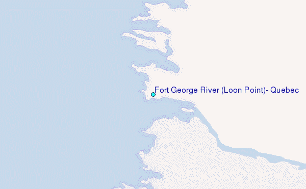
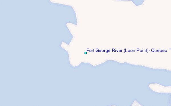
Choose Fort George River (Loon Point), Quebec Location Map Zoom:
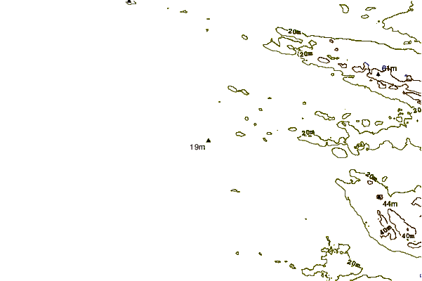
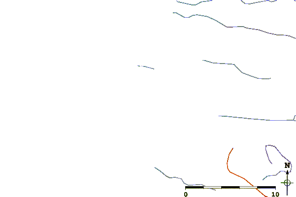
| Contours: | Roads & Rivers: | Select a
tide station / surf break / city |
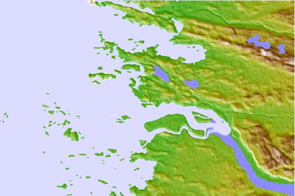
Use this relief map to navigate to tide stations, surf breaks and cities that are in the area of Fort George River (Loon Point), Quebec.
Other Nearby Locations' tide tables and tide charts to Fort George River (Loon Point), Quebec:
click location name for more details
 Surf breaks close to Fort George River (Loon Point), Quebec:
|
||
|---|---|---|
| Closest surf break | Marathon | 479 mi |
| Second closest surf break | Alona Bay | 525 mi |
| Third closest surf break | Manitoulin Island | 582 mi |
| Fourth closest surf break | Au Sable Point | 586 mi |
| Fifth closest surf break | Grand Marias | 586 mi |


 Nearest
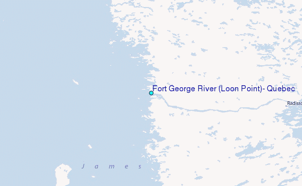