
| Distance / Altitude | Location | Report Date / Time | Live Weather | Wind | Gusts | Temp. | Visibility | Cloud |
|---|---|---|---|---|---|---|---|---|
| 41 km S / 15 m | SHIP1107 (Marine) | 2026-07-26 03:00 local (2026/07/26 10:00 GMT) | light winds from the WSW (7.5600000000000005 km/h at 250) | 13°C | 17.7 km | |||
| 61 km SSW / 18 m | Port Hardy Ua- BC (Canada) | 2026-07-26 02:00 local (2026/07/26 09:00 GMT) | no report | - (- km/h at -) | 8°C | - | - - - | |
| 62 km SSW / 217 m | Port Hardy Airport (British Columbia) | 2026-07-26 02:00 local (2026/07/26 09:00 GMT) | Shower light rain shower | light winds from the SE (7 km/h at 140) | 13°C | 24 | few scattered overcast | |
| 64 km SW / 216 m | Herbert Island Airport (British Columbia) | 2026-07-26 02:00 local (2026/07/26 09:00 GMT) | - | light winds from the SE (7 km/h at 140) | 12°C | 0.0 | ||
| 64 km WSW / 13 m | Herbert Island (Aut)- BC (Canada) | 2026-07-26 03:00 local (2026/07/26 10:00 GMT) | no report | light winds from the W (14 km/h at 280) | 11°C | - | - - - | |
| 62 km SSW / 217 m | Port Hardy Airport (British Columbia) | 2026-07-26 02:00 local (2026/07/26 09:00 GMT) | Shower light rain shower | light winds from the SE (7 km/h at 140) | 13°C | 24 | few scattered overcast | |
| 62 km S / 15 m | SHIP5182 (Marine) | 2026-07-26 02:00 local (2026/07/26 09:00 GMT) | - (- km/h at -) | — | - km | |||
| 62 km S / 15 m | SHIP2634 (Marine) | 2026-07-26 02:00 local (2026/07/26 09:00 GMT) | - (- km/h at -) | — | - km | |||
| 64 km SW / 216 m | Herbert Island Airport (British Columbia) | 2026-07-26 02:00 local (2026/07/26 09:00 GMT) | - | light winds from the SE (7 km/h at 140) | 12°C | 0.0 | ||
| 64 km WSW / 13 m | Herbert Island (Aut)- BC (Canada) | 2026-07-26 03:00 local (2026/07/26 10:00 GMT) | no report | light winds from the W (14 km/h at 280) | 11°C | - | - - - |
| Contours: | Roads & Rivers: | Select a
tide station / surf break / city |
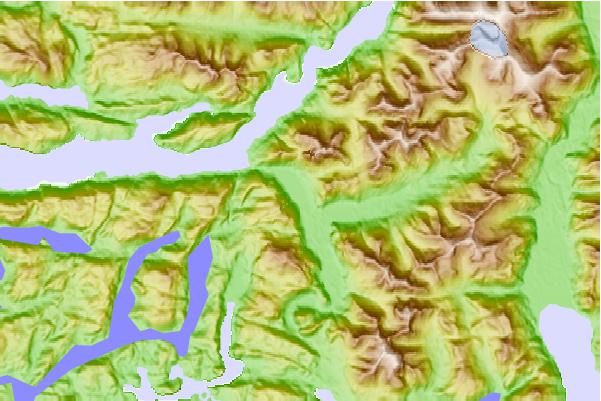
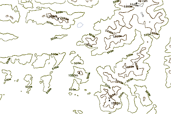
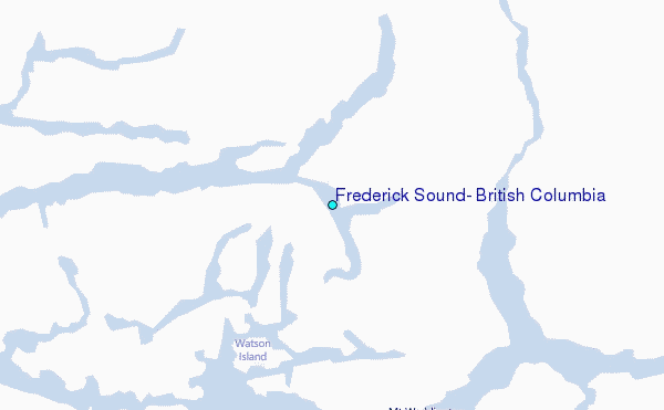
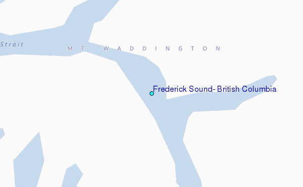
Use this relief map to navigate to tide stations, surf breaks and cities that are in the area of Frederick Sound, British Columbia.
Other Nearby Locations' tide tables and tide charts to Frederick Sound, British Columbia:
click location name for more details
 Surf breaks close to Frederick Sound, British Columbia:
|
||
|---|---|---|
| Closest surf break | Nootka Island (Calvin Bay) | 96 mi |
| Second closest surf break | Tofino (North Chestermans Beach) | 139 mi |
| Third closest surf break | South Chesterman Beach | 139 mi |
| Fourth closest surf break | Rosie's Bay | 139 mi |
| Fifth closest surf break | Cox Bay | 140 mi |


 Nearest
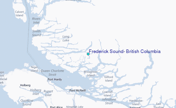