
| Distance / Altitude | Location | Report Date / Time | Live Weather | Wind | Gusts | Temp. | Visibility | Cloud |
|---|---|---|---|---|---|---|---|---|
| 38 km WNW / 217 m | Frobisher/Iqaluit Airport (N.w. Territories) | 2026-07-26 06:00 local (2026/07/26 09:00 GMT) | Light rain | moderate winds from the SSE (22 km/h at 150) | 2°C | 13 | overcast | |
| 39 km WNW / 34 m | Iqaluit (Canada) | 2026-07-26 07:00 local (2026/07/26 10:00 GMT) | no report | calm (4 km/h at 150) | 2°C | - | - | |
| 217 km NNE / 3 m | SHIP1024 (Marine) | 2026-07-26 07:00 local (2026/07/26 10:00 GMT) | near gales from the SSW (59 km/h at 200) | 2°C | - | |||
| 218 km NNE / 3 m | SHIP4006 (Marine) | 2026-07-26 07:00 local (2026/07/26 10:00 GMT) | near gales from the SSW (59 km/h at 200) | 2°C | - | |||
| 218 km NNE / 15 m | SHIP2404 (Marine) | 2026-07-26 07:00 local (2026/07/26 10:00 GMT) | near gales from the SSW (59.4 km/h at 200) | 6°C | - km | |||
| 218 km NNE / 15 m | SHIP4376 (Marine) | 2026-07-26 07:00 local (2026/07/26 10:00 GMT) | near gales from the SSW (59.4 km/h at 200) | 6°C | - km | |||
| 220 km NNE / 15 m | SHIP1812 (Marine) | 2026-07-26 06:00 local (2026/07/26 09:00 GMT) | fresh winds from the S (38.88 km/h at 170) | 6°C | - km | |||
| 220 km NNE / 3 m | SHIP3541 (Marine) | 2026-07-26 06:00 local (2026/07/26 09:00 GMT) | strong winds from the S (39 km/h at 170) | 3°C | - | |||
| 220 km NNE / 3 m | SHIP2709 (Marine) | 2026-07-26 06:00 local (2026/07/26 09:00 GMT) | strong winds from the S (39 km/h at 170) | 3°C | - | |||
| 220 km NNE / 3 m | SHIP726 (Marine) | 2026-07-26 06:00 local (2026/07/26 09:00 GMT) | strong winds from the S (39 km/h at 170) | 3°C | - |
| Contours: | Roads & Rivers: | Select a
tide station / surf break / city |
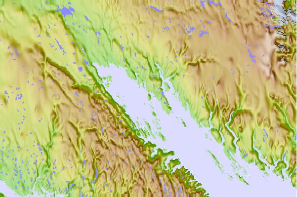
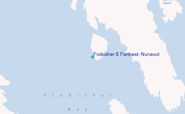
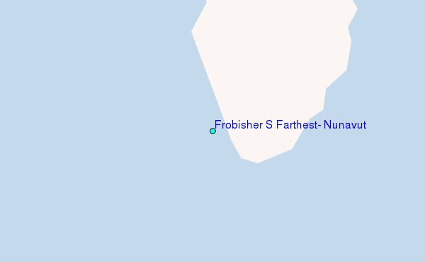
Use this relief map to navigate to tide stations, surf breaks and cities that are in the area of Frobisher S Farthest, Nunavut.
Other Nearby Locations' tide tables and tide charts to Frobisher S Farthest, Nunavut:
click location name for more details
 Surf breaks close to Frobisher S Farthest, Nunavut:
|
||
|---|---|---|
| Closest surf break | Ingonish Beach | 1201 mi |
| Second closest surf break | Marathon | 1235 mi |
| Third closest surf break | Kennington Cove | 1256 mi |
| Fourth closest surf break | Michaud Point | 1271 mi |
| Fifth closest surf break | Alona Bay | 1296 mi |


 Nearest
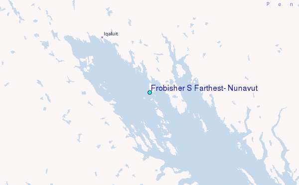