
| Distance / Altitude | Location | Report Date / Time | Live Weather | Wind | Gusts | Temp. | Visibility | Cloud |
|---|---|---|---|---|---|---|---|---|
| 159 km S / 164 m | Kuujjuarapik Airport (Quebec) | 2026-07-26 05:00 local (2026/07/26 09:00 GMT) | Dry and cloudy | light winds from the SSW.(Wind varies from 170 to 230 degs) (6 km/h at 200) | 7°C | 14 | overcast | |
| 162 km WSW / 34 m | Sanikiluaq (Canada) | 2026-07-26 06:00 local (2026/07/26 10:00 GMT) | no report | wind obs. (40 kph from 260 degs) was rejected (- km/h at -) | 4°C | - | - - - | |
| 230 km NW / 1 m | Inukjuak Ua- Que (Canada) | 2026-07-26 05:41 local (2026/07/26 09:41 GMT) | Dry and partly cloudy | light winds from the SSW (19 km/h at 210) | 8°C | 14 | scattered broken - | |
| 268 km NE / 171 m | Riviere Aux Feuilles- Que (Canada) | 2026-07-26 06:00 local (2026/07/26 10:00 GMT) | no report | strong winds from the W (40 km/h at 260) | 4°C | - | - | |
| 332 km S / 195 m | LA Grande Riviere A- Que (Canada) | 2026-07-26 06:00 local (2026/07/26 10:00 GMT) | no report | - (- km/h at -) | 6°C | - | - - - | |
| 334 km S / 217 m | La Grande Rivier Airport (Quebec) | 2026-07-26 05:00 local (2026/07/26 09:00 GMT) | Drizzle | calm (0 km/h at 0) | 7°C | 6 | overcast | |
| 365 km SSE / 714 m | Aéroport de La Grande-4 (Quebec) | 2026-07-26 06:00 local (2026/07/26 10:00 GMT) | no report | light winds from the WSW (14 km/h at 250) | 8°C | 14 | broken overcast - | |
| 365 km SSE / 714 m | LA Grande-4 Airport (Quebec) | 2026-07-26 05:28 local (2026/07/26 09:28 GMT) | Dry and cloudy | light winds from the W (7 km/h at 260) | 14°C | 14 | broken overcast | |
| 390 km N / 339 m | Puvirnituq Airport (Quebec) | 2026-07-26 05:42 local (2026/07/26 09:42 GMT) | Dry and partly cloudy | moderate winds from the S (22 km/h at 190) | — | 14 | few broken broken | |
| 524 km ENE / 216 m | Kuujjuaq Airport (Quebec) | 2026-07-26 05:41 local (2026/07/26 09:41 GMT) | Moderate rain | light winds from the NW.(Wind varies from 270 to 340 degs) (9 km/h at 320) | 13°C | 5 | scattered overcast |
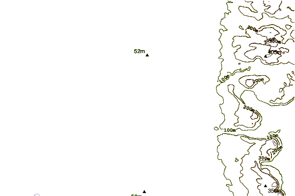
| Contours: | Roads & Rivers: | Select a
tide station / surf break / city |
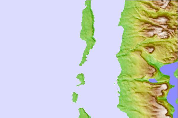
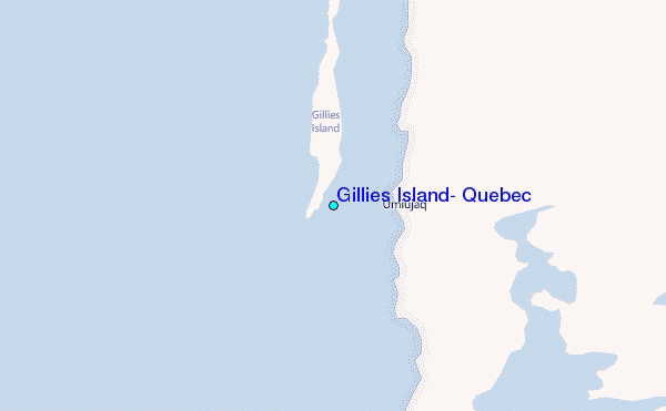
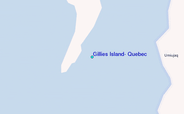
Use this relief map to navigate to tide stations, surf breaks and cities that are in the area of Gillies Island, Quebec.
Other Nearby Locations' tide tables and tide charts to Gillies Island, Quebec:
click location name for more details
 Surf breaks close to Gillies Island, Quebec:
|
||
|---|---|---|
| Closest surf break | Marathon | 681 mi |
| Second closest surf break | Alona Bay | 733 mi |
| Third closest surf break | Bayfield | 789 mi |
| Fourth closest surf break | Manitoulin Island | 789 mi |
| Fifth closest surf break | Au Sable Point | 794 mi |


 Nearest
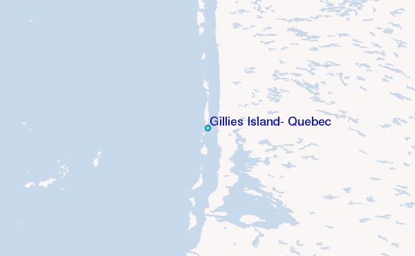