
| Distance / Altitude | Location | Report Date / Time | Live Weather | Wind | Gusts | Temp. | Visibility | Cloud |
|---|---|---|---|---|---|---|---|---|
| 22 km SSW / 8 m | Iles DE LA Madeleine- Que (Canada) | 2026-07-26 05:00 local (2026/07/26 08:00 GMT) | - | fresh winds from the WSW (32 km/h at 250) | — | - | - - - | |
| 24 km SSW / 194 m | Iles de la madel Airport (Quebec) | 2026-07-26 04:00 local (2026/07/26 07:00 GMT) | - | light winds from the S (13 km/h at 190) | 18°C | 0.0 | ||
| 98 km SE / 42 m | Pleasant Bay (Canada) | 2026-07-26 05:29 local (2026/07/26 08:29 GMT) | dry | calm (5 km/h at 167) | 17°C | - | - - 0 | |
| 102 km SSE / 303 m | Pleasant Bay wx (Canada) | 2026-07-26 05:19 local (2026/07/26 08:19 GMT) | dry | calm (2 km/h at 166) | 18°C | - | - - 0 | |
| 105 km SE / 439 m | North Mountain Airport (Nova scotia) | 2026-07-26 04:00 local (2026/07/26 07:00 GMT) | - | light winds from the W (6 km/h at 270) | 17°C | 0.0 | ||
| 105 km SE / 439 m | North Mountain Cs- NS (Canada) | 2026-07-26 05:00 local (2026/07/26 08:00 GMT) | no report | wind obs. (22 kph from 250 degs) was rejected (- km/h at -) | 22°C | - | - - - | |
| 107 km SE / 22 m | Aspy Bay wx (Canada) | 2026-07-26 05:07 local (2026/07/26 08:07 GMT) | dry | calm (2 km/h at 286) | 14°C | - | - - 0 | |
| 107 km SE / 75 m | Big Intervale (Canada) | 2026-07-26 05:32 local (2026/07/26 08:32 GMT) | dry | calm (0 km/h at 202) | 13°C | - | - - 0 | |
| 109 km SSE / 11 m | Cheticamp (Canada) | 2026-07-26 04:35 local (2026/07/26 07:35 GMT) | dry | light winds from the ESE (11 km/h at 103) | 15°C | - | - - 0 | |
| 110 km SSE / 14 m | La Prairie wx (Canada) | 2026-07-26 05:23 local (2026/07/26 08:23 GMT) | dry | calm (0 km/h at 0) | 14°C | - | - - 0 |
| Contours: | Roads & Rivers: | Select a
tide station / surf break / city |
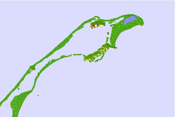
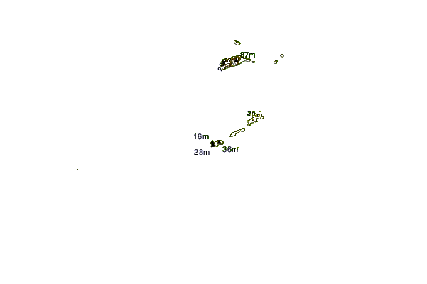
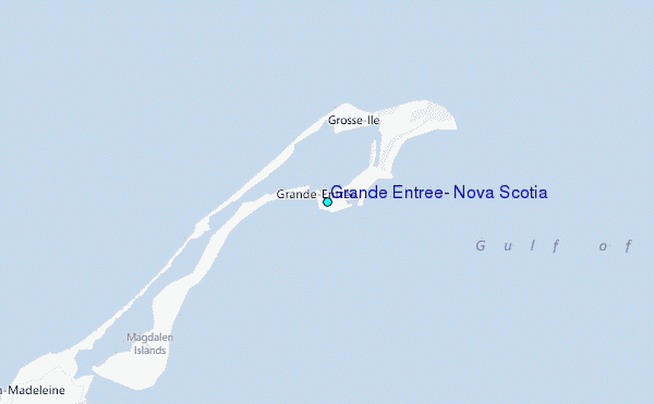
Use this relief map to navigate to tide stations, surf breaks and cities that are in the area of Grande Entree, Nova Scotia.
Other Nearby Locations' tide tables and tide charts to Grande Entree, Nova Scotia:
click location name for more details
 Surf breaks close to Grande Entree, Nova Scotia:
|
||
|---|---|---|
| Closest surf break | Ingonish Beach | 83 mi |
| Second closest surf break | Kennington Cove | 135 mi |
| Third closest surf break | Michaud Point | 143 mi |
| Fourth closest surf break | Martinique | 213 mi |
| Fifth closest surf break | Lawrencetown Left Point | 219 mi |


 Nearest
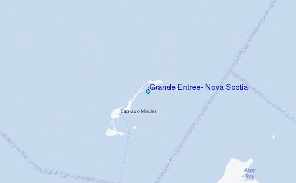