
| Distance / Altitude | Location | Report Date / Time | Live Weather | Wind | Gusts | Temp. | Visibility | Cloud |
|---|---|---|---|---|---|---|---|---|
| 135 km SSW / 14 m | Cartwright (Canada) | 2026-07-26 07:30 local (2026/07/26 10:00 GMT) | no report | light winds from the SW (7 km/h at 230) | 18°C | - | - | |
| 136 km SSW / 12 m | Cartwright Airport (Newfoundland) | 2026-07-26 06:30 local (2026/07/26 09:00 GMT) | Clear | light winds from the SSW (13 km/h at 210) | 20°C | 14 | ||
| 242 km S / 12 m | Mary s Harbour- Nfld (Canada) | 2026-07-26 07:30 local (2026/07/26 10:00 GMT) | - | moderate winds from the WSW (22 km/h at 250) | — | - | - | |
| 245 km S / 217 m | Mary's Harbour Airport (Newfoundland) | 2026-07-26 06:30 local (2026/07/26 09:00 GMT) | Clear | light winds from the SSW (7 km/h at 200) | 15°C | 14 | ||
| 249 km W / 345 m | Makkovik Airport (Newfoundland) | 2026-07-26 06:30 local (2026/07/26 09:00 GMT) | Dry and partly cloudy | light winds from the WSW (19 km/h at 240) | 21°C | 24 | broken | |
| 325 km W / 212 m | Hopedale Airport (Newfoundland) | 2026-07-26 06:30 local (2026/07/26 09:00 GMT) | - | fresh winds from the N (30 km/h at 0) | 19°C | 0.0 | ||
| 325 km W / 10 m | Hopedale (Aut)- Nfld (Canada) | 2026-07-26 07:30 local (2026/07/26 10:00 GMT) | no report | - (- km/h at 320) | 12°C | - | - | |
| 328 km S / 10 m | St. Lunaire - Griquet (Canada) | 2026-07-26 07:11 local (2026/07/26 09:41 GMT) | dry | fresh winds from the WSW (31 km/h at 258) | 17°C | - | - - 0 | |
| 345 km S / 33 m | St. Anthony- Nfld (Canada) | 2026-07-26 07:30 local (2026/07/26 10:00 GMT) | no report | strong winds from the SW (40 km/h at 230) | 19°C | - | - - - | |
| 346 km S / 196 m | Saint Anthony Airport (Newfoundland) | 2026-07-26 06:30 local (2026/07/26 09:00 GMT) | Clear | light winds from the WSW (15 km/h at 240) | 14°C | 14 |
| Contours: | Roads & Rivers: | Select a
tide station / surf break / city |


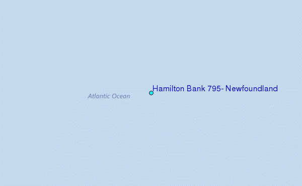
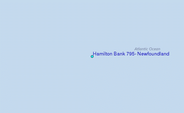
Use this relief map to navigate to tide stations, surf breaks and cities that are in the area of Hamilton Bank 795, Newfoundland.
Other Nearby Locations' tide tables and tide charts to Hamilton Bank 795, Newfoundland:
click location name for more details
 Surf breaks close to Hamilton Bank 795, Newfoundland:
|
||
|---|---|---|
| Closest surf break | Ingonish Beach | 583 mi |
| Second closest surf break | Kennington Cove | 628 mi |
| Third closest surf break | Michaud Point | 658 mi |
| Fourth closest surf break | Martinique | 759 mi |
| Fifth closest surf break | Lawrencetown Left Point | 765 mi |


 Nearest
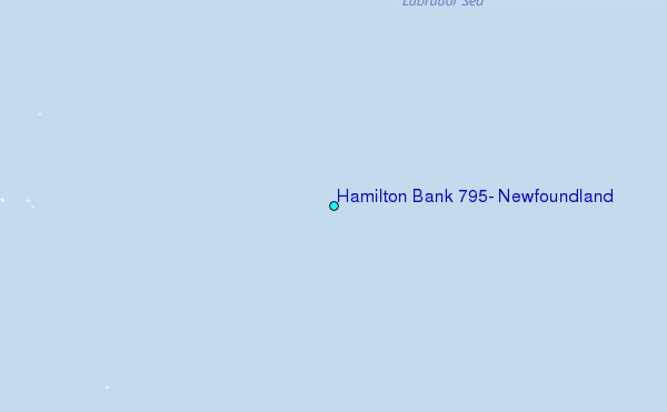