
| Distance / Altitude | Location | Report Date / Time | Live Weather | Wind | Gusts | Temp. | Visibility | Cloud |
|---|---|---|---|---|---|---|---|---|
| 8 km W / 15 m | SHIP1921 (Marine) | 2026-07-10 02:00 local (2026/07/10 00:00 GMT) | - (- km/h at -) | — | - km | |||
| 13 km W / 303 m | Hamburg/Finkenwerder Airport (Germany) | 2026-07-10 01:20 local (2026/07/09 23:20 GMT) | - | light winds from the NW.(Wind varies from 280 to 340 degs) (13 km/h at 310) | 17°C | 10.0 | ||
| 17 km N / 220 m | Hamburg/Fuhlsbüttel Airport (Germany) | 2026-07-10 01:20 local (2026/07/09 23:20 GMT) | Dry and cloudy | light winds from the NW (9 km/h at 320) | 16°C | 10.0 | overcast | |
| 18 km WSW / 38 m | Immenbeck wx (Germany) | 2026-07-10 02:02 local (2026/07/10 00:02 GMT) | dry | calm (2 km/h at 158) | 17°C | - | - - 0 | |
| 19 km N / 15 m | Hamburg -Fuhlsbuettel (Germany) | 2026-07-10 02:00 local (2026/07/10 00:00 GMT) | no report | wind obs. (11 kph from 240 degs) was rejected (- km/h at -) | 17°C | 50 | - | |
| 26 km E / 54 m | Geesthacht wx (Germany) | 2026-07-10 01:14 local (2026/07/09 23:14 GMT) | dry | calm (2 km/h at 301) | 16°C | - | - - 0 | |
| 31 km ENE / 46 m | Trittau (Germany) | 2026-07-10 02:04 local (2026/07/10 00:04 GMT) | dry | calm (0 km/h at 315) | 16°C | - | - - 0 | |
| 33 km WNW / 11 m | Hamburg (Germany) | 2026-07-10 00:36 local (2026/07/09 22:36 GMT) | dry | calm (0 km/h at 355) | 16°C | - | - - 0 |
| Contours: | Roads & Rivers: | Select a
tide station / surf break / city |
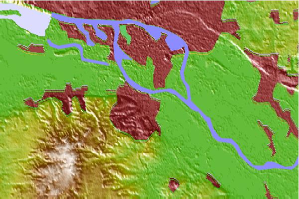
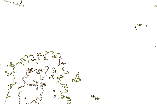
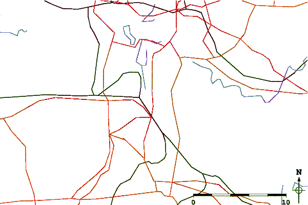
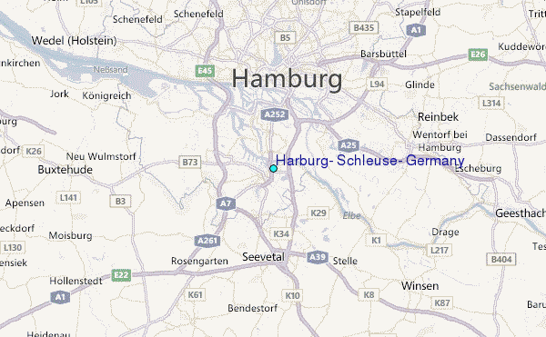
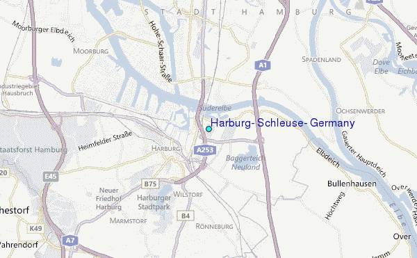
Use this relief map to navigate to tide stations, surf breaks and cities that are in the area of Harburg, Schleuse, Germany.
Other Nearby Locations' tide tables and tide charts to Harburg, Schleuse, Germany:
click location name for more details
 Surf breaks close to Harburg, Schleuse, Germany:
|
||
|---|---|---|
| Closest surf break | Hohwachter Bucht | 65 mi |
| Second closest surf break | Pelzerhaken | 65 mi |
| Third closest surf break | Dazendorf | 73 mi |
| Fourth closest surf break | Damp | 74 mi |
| Fifth closest surf break | St Peter Ording | 83 mi |


 Nearest
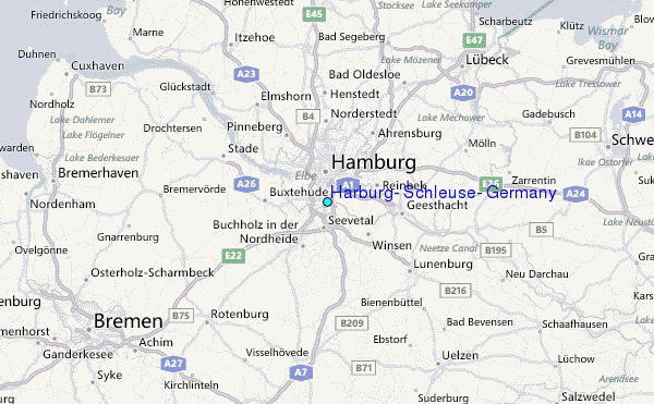