
| Distance / Altitude | Location | Report Date / Time | Live Weather | Wind | Gusts | Temp. | Visibility | Cloud |
|---|---|---|---|---|---|---|---|---|
| 58 km ENE / 1 m | Saint Albans (Canada) | 2026-07-26 07:30 local (2026/07/26 10:00 GMT) | no report | wind obs. (7 kph from 290 degs) was rejected (- km/h at -) | 11°C | - | - - - | |
| 62 km ESE / 60 m | Sagona Island- Nfld (Canada) | 2026-07-26 07:30 local (2026/07/26 10:00 GMT) | no report | moderate winds from the SSW (22 km/h at 200) | 11°C | - | - | |
| 63 km ESE / 13 m | Sagona Island Airport (Newfoundland) | 2026-07-26 06:30 local (2026/07/26 09:00 GMT) | - | light winds from the ESE (9 km/h at 110) | — | 0.0 | ||
| 81 km WSW / 11 m | Burgeo (Canada) | 2026-07-26 06:30 local (2026/07/26 09:00 GMT) | no report | wind obs. (14 kph from 80 degs) was rejected (- km/h at -) | 13°C | - | - - - | |
| 117 km SE / 48 m | ST Lawrence- Nfld (Canada) | 2026-07-26 06:30 local (2026/07/26 09:00 GMT) | no report | light winds from the SW (14 km/h at 220) | 12°C | - | - | |
| 151 km ESE / 27 m | Marticot Island- Nfld (Canada) | 2026-07-26 07:30 local (2026/07/26 10:00 GMT) | no report | light winds from the SW (11 km/h at 220) | 9°C | - | - - - | |
| 154 km NNE / 103 m | Badger (Aut)- Nfld (Canada) | 2026-07-26 07:30 local (2026/07/26 10:00 GMT) | - | wind obs. (11 kph from 220 degs) was rejected (- km/h at -) | — | - | - - - | |
| 179 km WNW / 152 m | Corner Brook (Canada) | 2026-07-26 06:30 local (2026/07/26 09:00 GMT) | no report | light winds from the S (18 km/h at 190) | 21°C | - | - - - | |
| 184 km WNW / 59 m | Stephenville Rcs- Nfld (Canada) | 2026-07-26 07:30 local (2026/07/26 10:00 GMT) | no report | wind obs. (7 kph from 240 degs) was rejected (- km/h at -) | 17°C | - | - - - | |
| 186 km WNW / 22 m | Kippens (Canada) | 2026-07-26 07:56 local (2026/07/26 10:26 GMT) | dry | calm (0 km/h at 57) | — | - | - - 0 |
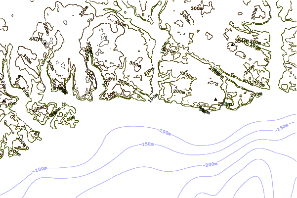
| Contours: | Roads & Rivers: | Select a
tide station / surf break / city |
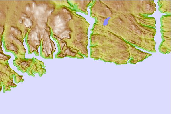
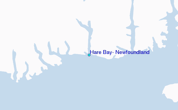
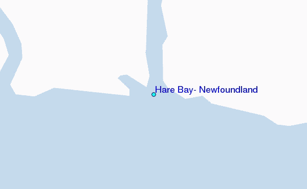
Use this relief map to navigate to tide stations, surf breaks and cities that are in the area of Hare Bay, Newfoundland.
Other Nearby Locations' tide tables and tide charts to Hare Bay, Newfoundland:
click location name for more details
 Surf breaks close to Hare Bay, Newfoundland:
|
||
|---|---|---|
| Closest surf break | Ingonish Beach | 193 mi |
| Second closest surf break | Kennington Cove | 206 mi |
| Third closest surf break | Michaud Point | 242 mi |
| Fourth closest surf break | Martinique | 376 mi |
| Fifth closest surf break | Lawrencetown Left Point | 385 mi |


 Nearest
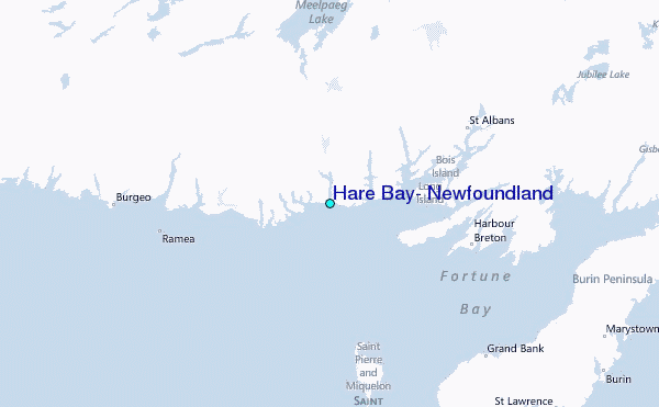