
| Distance / Altitude | Location | Report Date / Time | Live Weather | Wind | Gusts | Temp. | Visibility | Cloud |
|---|---|---|---|---|---|---|---|---|
| 8 km NW / 15 m | SHIP1624 (Marine) | 2026-07-09 21:00 local (2026/07/09 19:00 GMT) | - (- km/h at -) | — | - km | |||
| 8 km NW / 3 m | SHIP4187 (Marine) | 2026-07-09 21:00 local (2026/07/09 19:00 GMT) | - (- km/h at -) | 23°C | - | |||
| 8 km NW / 3 m | SHIP1283 (Marine) | 2026-07-09 21:00 local (2026/07/09 19:00 GMT) | - (- km/h at -) | 23°C | - | |||
| 9 km NNE / 3 m | SHIP459 (Marine) | 2026-07-09 19:00 local (2026/07/09 17:00 GMT) | - (- km/h at -) | 26°C | - | |||
| 9 km NNE / 3 m | SHIP3176 (Marine) | 2026-07-09 20:00 local (2026/07/09 18:00 GMT) | - (- km/h at -) | 25°C | - | |||
| 9 km NNE / 3 m | SHIP926 (Marine) | 2026-07-09 20:00 local (2026/07/09 18:00 GMT) | - (- km/h at -) | 25°C | - | |||
| 9 km NNE / 3 m | SHIP38 (Marine) | 2026-07-09 19:00 local (2026/07/09 17:00 GMT) | - (- km/h at -) | 26°C | - | |||
| 9 km NNE / 15 m | SHIP6022 (Marine) | 2026-07-09 20:00 local (2026/07/09 18:00 GMT) | - (- km/h at -) | — | - km | |||
| 9 km NNE / 15 m | SHIP2440 (Marine) | 2026-07-09 19:00 local (2026/07/09 17:00 GMT) | - (- km/h at -) | — | - km | |||
| 9 km NNE / 3 m | SHIP4236 (Marine) | 2026-07-09 19:00 local (2026/07/09 17:00 GMT) | - (- km/h at -) | 26°C | - |
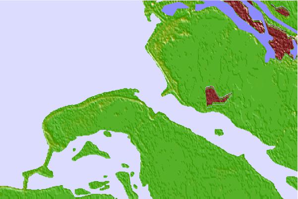
| Contours: | Roads & Rivers: | Select a
tide station / surf break / city |

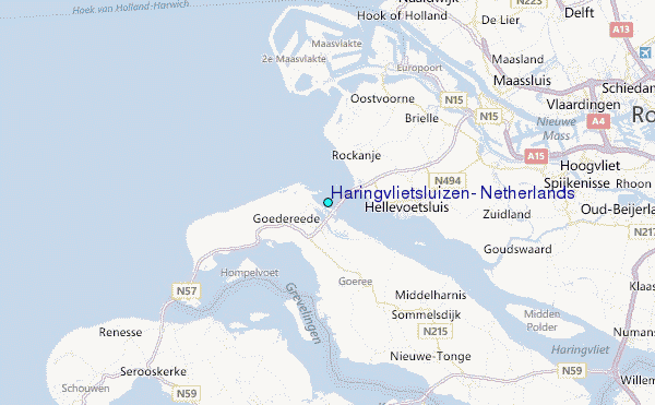
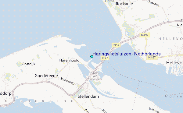
Use this relief map to navigate to tide stations, surf breaks and cities that are in the area of Haringvlietsluizen, Netherlands.
Other Nearby Locations' tide tables and tide charts to Haringvlietsluizen, Netherlands:
click location name for more details
 Surf breaks close to Haringvlietsluizen, Netherlands:
|
||
|---|---|---|
| Closest surf break | Slufter | 4 mi |
| Second closest surf break | Blokken | 5 mi |
| Third closest surf break | Maasvlakte | 5 mi |
| Fourth closest surf break | Maasexpress | 10 mi |
| Fifth closest surf break | Ter Heijde | 14 mi |


 Nearest
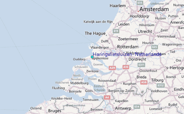