
| Distance / Altitude | Location | Report Date / Time | Live Weather | Wind | Gusts | Temp. | Visibility | Cloud |
|---|---|---|---|---|---|---|---|---|
| 37 km S / 109 m | Saint John A- NB (Canada) | 2026-07-26 07:00 local (2026/07/26 10:00 GMT) | no report | - (- km/h at -) | 15°C | - | - - - | |
| 37 km S / 216 m | Saint John Airport (New Brunswick) | 2026-07-26 06:00 local (2026/07/26 09:00 GMT) | - | calm (0 km/h at 0) | 6°C | 24 | few | |
| 50 km W / 51 m | Gagetown Awos A- NB (Canada) | 2026-07-26 07:00 local (2026/07/26 10:00 GMT) | - | - (- km/h at -) | — | - | - | |
| 55 km E / 404 m | Mechanic Settlement- NB (Canada) | 2026-07-26 07:00 local (2026/07/26 10:00 GMT) | - | wind obs. (18 kph from 270 degs) was rejected (- km/h at -) | — | - | - - - | |
| 56 km W / 217 m | Fredericton Airport (New Brunswick) | 2026-07-26 06:00 local (2026/07/26 09:00 GMT) | Clear | calm (4 km/h at 1) | 10°C | 14 | ||
| 58 km W / 21 m | Fredericton- NB (Canada) | 2026-07-26 07:00 local (2026/07/26 10:00 GMT) | - | light winds from the SSW (14 km/h at 200) | — | - | - - - | |
| 65 km W / 35 m | Fredericton (Canada) | 2026-07-26 07:00 local (2026/07/26 10:00 GMT) | - | wind obs. (7 kph from 250 degs) was rejected (- km/h at -) | — | - | - - - | |
| 68 km W / 55 m | Fredericton (New Brunswick) | 2026-07-26 05:38 local (2026/07/26 08:38 GMT) | dry | calm (0 km/h at 221) | 12°C | - | - - 0 | |
| 71 km E / 43 m | Fundy Park (Alma) Cs- NB (Canada) | 2026-07-26 07:00 local (2026/07/26 10:00 GMT) | no report | calm (4 km/h at 340) | 14°C | - | - | |
| 80 km SSW / 216 m | Point Lepreau Airport (New Brunswick) | 2026-07-26 06:00 local (2026/07/26 09:00 GMT) | - | light winds from the ENE (17 km/h at 60) | 12°C | 0.0 |
| Contours: | Roads & Rivers: | Select a
tide station / surf break / city |
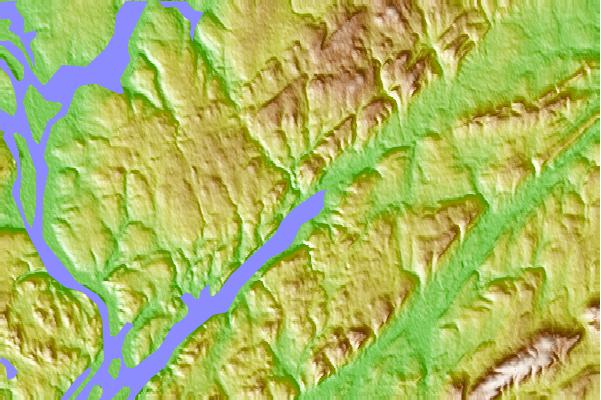
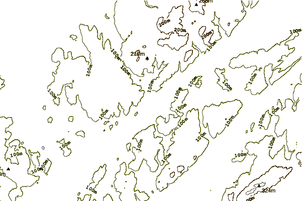
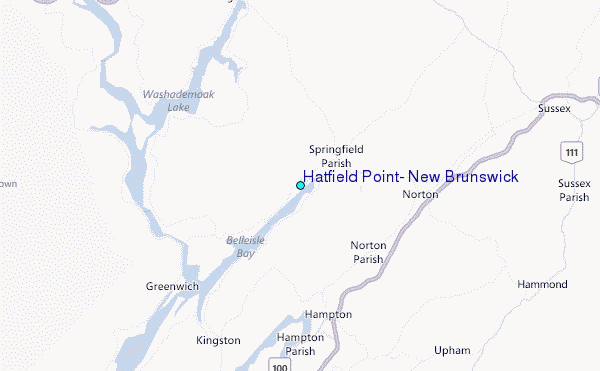
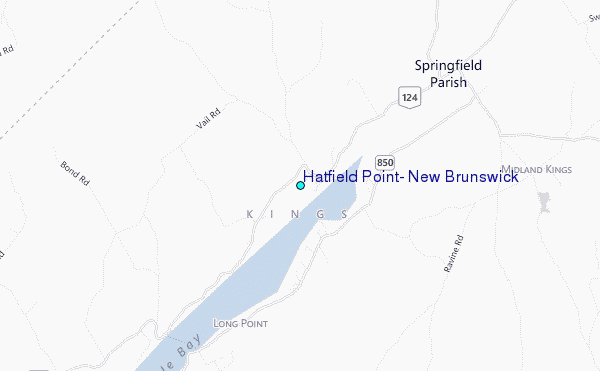
Use this relief map to navigate to tide stations, surf breaks and cities that are in the area of Hatfield Point, New Brunswick.
Other Nearby Locations' tide tables and tide charts to Hatfield Point, New Brunswick:
click location name for more details
 Surf breaks close to Hatfield Point, New Brunswick:
|
||
|---|---|---|
| Closest surf break | Broad Cove | 124 mi |
| Second closest surf break | Hirtle's Beach (Hartling Bay) | 124 mi |
| Third closest surf break | Cherry Hill | 124 mi |
| Fourth closest surf break | Scotts Bay | 129 mi |
| Fifth closest surf break | Western Head Reef | 129 mi |


 Nearest
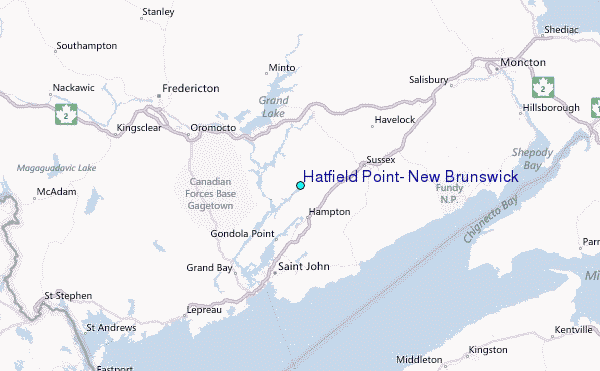