
| Distance / Altitude | Location | Report Date / Time | Live Weather | Wind | Gusts | Temp. | Visibility | Cloud |
|---|---|---|---|---|---|---|---|---|
| 9 km NW / 3 m | SHIP459 (Marine) | 2026-07-09 19:00 local (2026/07/09 17:00 GMT) | - (- km/h at -) | 26°C | - | |||
| 14 km ENE / 4 m | Rotterdam Geulhaven (Netherlands) | 2026-07-09 21:00 local (2026/07/09 19:00 GMT) | no report | light winds from the NNE (14 km/h at 30) | — | - | - - - | |
| 9 km NW / 3 m | SHIP926 (Marine) | 2026-07-09 20:00 local (2026/07/09 18:00 GMT) | - (- km/h at -) | 25°C | - | |||
| 9 km NW / 3 m | SHIP38 (Marine) | 2026-07-09 19:00 local (2026/07/09 17:00 GMT) | - (- km/h at -) | 26°C | - | |||
| 9 km NW / 15 m | SHIP6022 (Marine) | 2026-07-09 20:00 local (2026/07/09 18:00 GMT) | - (- km/h at -) | — | - km | |||
| 9 km NW / 15 m | SHIP2440 (Marine) | 2026-07-09 19:00 local (2026/07/09 17:00 GMT) | - (- km/h at -) | — | - km | |||
| 9 km NW / 3 m | SHIP4236 (Marine) | 2026-07-09 19:00 local (2026/07/09 17:00 GMT) | - (- km/h at -) | 26°C | - | |||
| 9 km NW / 3 m | SHIP833 (Marine) | 2026-07-09 20:00 local (2026/07/09 18:00 GMT) | - (- km/h at -) | 25°C | - | |||
| 9 km NW / 15 m | SHIP3965 (Marine) | 2026-07-09 19:00 local (2026/07/09 17:00 GMT) | - (- km/h at -) | — | - km | |||
| 9 km NW / 15 m | SHIP294 (Marine) | 2026-07-09 19:00 local (2026/07/09 17:00 GMT) | - (- km/h at -) | — | - km |
| Contours: | Roads & Rivers: | Select a
tide station / surf break / city |
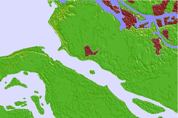
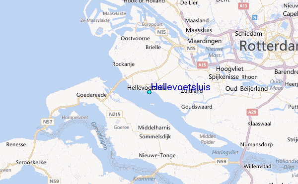
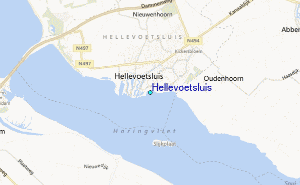
Use this relief map to navigate to tide stations, surf breaks and cities that are in the area of Hellevoetsluis.
Other Nearby Locations' tide tables and tide charts to Hellevoetsluis:
click location name for more details
 Surf breaks close to Hellevoetsluis:
|
||
|---|---|---|
| Closest surf break | Blokken | 7 mi |
| Second closest surf break | Slufter | 7 mi |
| Third closest surf break | Maasvlakte | 7 mi |
| Fourth closest surf break | Maasexpress | 11 mi |
| Fifth closest surf break | Ter Heijde | 14 mi |


 Nearest
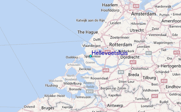