
| Distance / Altitude | Location | Report Date / Time | Live Weather | Wind | Gusts | Temp. | Visibility | Cloud |
|---|---|---|---|---|---|---|---|---|
| 0 km ENE / 1 m | Herschel Island- YT (Canada) | 2026-07-26 04:00 local (2026/07/26 10:00 GMT) | no report | calm (4 km/h at 360) | — | - | - - - | |
| 50 km WSW / 13 m | Komakuk Beach- YT (Canada) | 2026-07-26 03:00 local (2026/07/26 09:00 GMT) | - | wind obs. (7 kph from 280 degs) was rejected (- km/h at -) | — | - | - - - | |
| 66 km SSW / 244 m | Ivvavik Nat. Park- YT (Canada) | 2026-07-26 03:00 local (2026/07/26 09:00 GMT) | - | light winds from the SSW (18 km/h at 200) | — | - | - | |
| 115 km SSW / 568 m | Margaret Lake- YT (Canada) | 2026-07-26 03:00 local (2026/07/26 09:00 GMT) | no report | calm (0 km/h at 150) | 7°C | - | - - - | |
| 136 km E / 17 m | Pelly Island- Nwt (Canada) | 2026-07-26 04:00 local (2026/07/26 10:00 GMT) | - | wind obs. (11 kph from 290 degs) was rejected (- km/h at -) | — | - | - | |
| 192 km W / 192 m | Barter Island Airport (Alaska) | 2026-07-26 02:56 local (2026/07/26 08:56 GMT) | Clear | light winds from the SW (11 km/h at 220) | — | 16 | ||
| 211 km ESE / 261 m | Storm Hills Airport (Canada) | 2026-07-26 03:00 local (2026/07/26 09:00 GMT) | no report | - (- km/h at -) | — | - | - - - | |
| 226 km S / 251 m | Old Crow Rcs- YT (Canada) | 2026-07-26 03:00 local (2026/07/26 09:00 GMT) | no report | wind obs. (14 kph from 80 degs) was rejected (- km/h at -) | 7°C | - | - - - | |
| 231 km E / 6 m | Tuktoyaktuk- Nwt (Canada) | 2026-07-26 03:00 local (2026/07/26 09:00 GMT) | no report | wind obs. (7 kph from 20 degs) was rejected (- km/h at -) | 1°C | - | - - - | |
| 232 km E / 15 m | SHIP1123 (Marine) | 2026-07-26 04:00 local (2026/07/26 10:00 GMT) | calm (5.4 km/h at 220) | — | - km |
| Contours: | Roads & Rivers: | Select a
tide station / surf break / city |
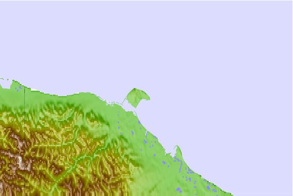
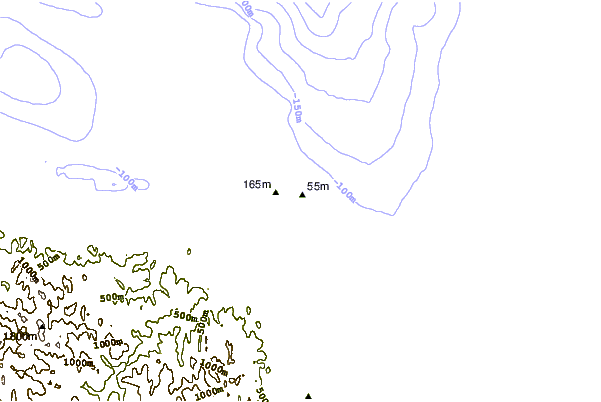
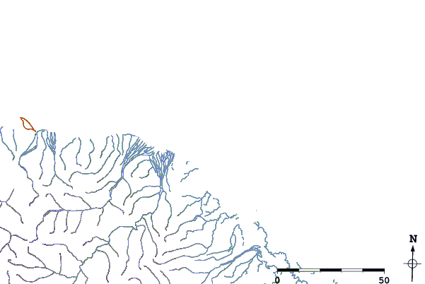
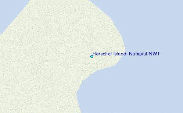
Use this relief map to navigate to tide stations, surf breaks and cities that are in the area of Herschel Island, Nunavut/NWT.
Other Nearby Locations' tide tables and tide charts to Herschel Island, Nunavut/NWT:
click location name for more details
 Surf breaks close to Herschel Island, Nunavut/NWT:
|
||
|---|---|---|
| Closest surf break | Graveyards | 693 mi |
| Second closest surf break | Ocean Cape | 694 mi |
| Third closest surf break | Cannon Beach | 696 mi |
| Fourth closest surf break | Bird Point (Tidal Bore) | 708 mi |
| Fifth closest surf break | Termination Point | 904 mi |


 Nearest
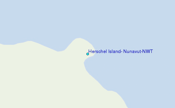