
| Distance / Altitude | Location | Report Date / Time | Live Weather | Wind | Gusts | Temp. | Visibility | Cloud |
|---|---|---|---|---|---|---|---|---|
| 5 km WSW / -2 m | Berkenhout (Netherlands) | 2026-07-09 21:00 local (2026/07/09 19:00 GMT) | no report | light winds from the WSW (14 km/h at 240) | 17°C | 30 | - - - | |
| 8 km E / 1 m | Wijdenes WP (Netherlands) | 2026-07-09 20:00 local (2026/07/09 18:00 GMT) | no report | light winds from the WSW (18 km/h at 240) | — | - | - | |
| 23 km E / -152 m | Houtribdijk WP (Netherlands) | 2026-07-09 20:00 local (2026/07/09 18:00 GMT) | no report | wind obs. (14 kph from 40 degs) was rejected (- km/h at -) | — | - | - - - | |
| 29 km NW / 6 m | 971 (Netherlands) | 2026-07-09 21:00 local (2026/07/09 19:00 GMT) | - | calm (4 km/h at 48) | 21°C | - | - - 0 | |
| 33 km NE / 3 m | Stavoren (Netherlands) | 2026-07-09 20:00 local (2026/07/09 18:00 GMT) | no report | light winds from the WSW (11 km/h at 250) | 17°C | 35 | - - - | |
| 35 km SW / 8 m | Wijk Aan Zee Aws (Netherlands) | 2026-07-09 20:00 local (2026/07/09 18:00 GMT) | no report | - (- km/h at -) | 18°C | - | - | |
| 36 km NW / 219 m | De Kooy Airfield - Den Helder (Netherlands) | 2026-07-09 20:25 local (2026/07/09 18:25 GMT) | Dry and partly cloudy | light winds from the ENE.(Wind varies from 040 to 100 degs) (13 km/h at 70) | 22°C | 10.0 | broken broken overcast | |
| 36 km NW / 219 m | De Kooy (Netherlands) | 2026-07-09 20:25 local (2026/07/09 18:25 GMT) | Dry and partly cloudy | light winds from the ENE.(Wind varies from 040 to 100 degs) (13 km/h at 70) | 22°C | 10.0 | broken | |
| 37 km NW / 1 m | DE Kooij VK (Netherlands) | 2026-07-09 20:00 local (2026/07/09 18:00 GMT) | no report | light winds from the ENE (14 km/h at 60) | 16°C | 35 | - | |
| 38 km SE / -6 m | Lelystad Airport (Netherlands) | 2026-07-09 20:25 local (2026/07/09 18:25 GMT) | no report | light winds from the SW (14 km/h at 230) | 19°C | 35 | - - - |
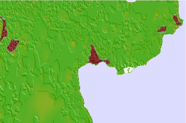
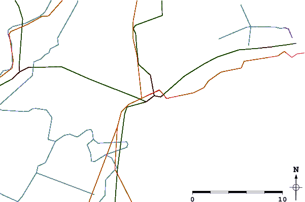
| Contours: | Roads & Rivers: | Select a
tide station / surf break / city |
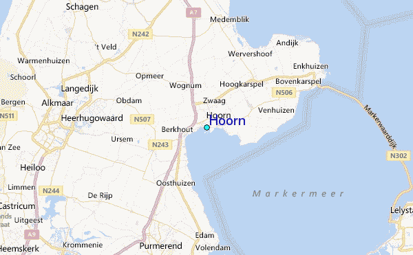
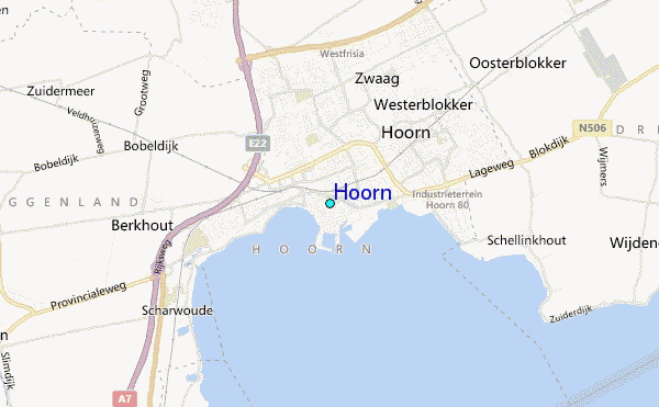
Use this relief map to navigate to tide stations, surf breaks and cities that are in the area of Hoorn.
Other Nearby Locations' tide tables and tide charts to Hoorn:
click location name for more details
 Surf breaks close to Hoorn:
|
||
|---|---|---|
| Closest surf break | Bergen aan Zee | 18 mi |
| Second closest surf break | Egmond aan Zee | 19 mi |
| Third closest surf break | Camperduin | 19 mi |
| Fourth closest surf break | Petten | 19 mi |
| Fifth closest surf break | Hargen | 20 mi |


 Nearest
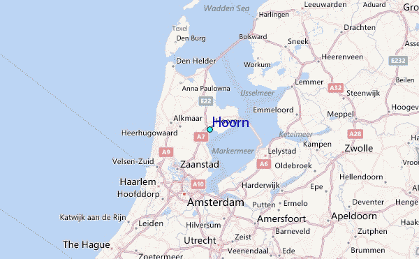