
| Distance / Altitude | Location | Report Date / Time | Live Weather | Wind | Gusts | Temp. | Visibility | Cloud |
|---|---|---|---|---|---|---|---|---|
| 155 km SSW / 16 m | Fort Severn Airport (Ontario) | 2026-07-25 19:00 local (2026/07/26 00:00 GMT) | no report | light winds from the W (14 km/h at 270) | 8°C | 14 | overcast - - | |
| 232 km S / 11 m | Peawanuck (Aut)- Ont (Canada) | 2026-07-25 20:00 local (2026/07/26 01:00 GMT) | Dry and partly cloudy | light winds from the WSW.(Wind varies from 210 to 300 degs) (9 km/h at 240) | 16°C | 14 | broken - - | |
| 416 km E / 34 m | Sanikiluaq (Canada) | 2026-07-25 19:00 local (2026/07/26 00:00 GMT) | no report | strong winds from the W (40 km/h at 260) | 4°C | - | - - - | |
| 435 km SSW / 696 m | Big Trout Lake Airport (Ontario) | 2026-07-25 19:00 local (2026/07/26 00:00 GMT) | Clear | light winds from the S (6 km/h at 190) | 16°C | 14 | ||
| 436 km SSW / 222 m | Big Trout Lake A- Ont (Canada) | 2026-07-25 20:00 local (2026/07/26 01:00 GMT) | no report | wind obs. (14 kph from 260 degs) was rejected (- km/h at -) | 9°C | - | - - - | |
| 494 km ENE / 217 m | Inukjuak Airport (Quebec) | 2026-07-25 19:00 local (2026/07/26 00:00 GMT) | no report | strong winds from the W (43 km/h at 260) | 3°C | 14 | few - - | |
| 512 km SSE / 9 m | Attawapiskat Airport (Canada) | 2026-07-25 19:00 local (2026/07/26 00:00 GMT) | Clear | light winds from the ESE (9 km/h at 110) | 13°C | 14 | ||
| 514 km W / 216 m | Churchill Airport (Manitoba) | 2026-07-25 19:00 local (2026/07/26 00:00 GMT) | Dry and partly cloudy | light winds from the N (13 km/h at 10) | 12°C | 24 | broken | |
| 514 km W / 28 m | Churchill Climate- Man (Canada) | 2026-07-25 20:00 local (2026/07/26 01:00 GMT) | no report | wind obs. (11 kph from 290 degs) was rejected (- km/h at -) | 7°C | - | - | |
| 538 km WSW / 145 m | Gillam A- Man (Canada) | 2026-07-25 19:00 local (2026/07/26 00:00 GMT) | - | - (- km/h at -) | — | - | - - - |
| Contours: | Roads & Rivers: | Select a
tide station / surf break / city |


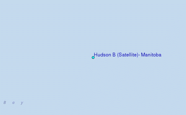
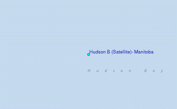
Use this relief map to navigate to tide stations, surf breaks and cities that are in the area of Hudson B (Satellite), Manitoba.
Other Nearby Locations' tide tables and tide charts to Hudson B (Satellite), Manitoba:
click location name for more details
 Surf breaks close to Hudson B (Satellite), Manitoba:
|
||
|---|---|---|
| Closest surf break | Marathon | 576 mi |
| Second closest surf break | Keweenaw Peninsula | 669 mi |
| Third closest surf break | Alona Bay | 686 mi |
| Fourth closest surf break | Apostle Islands | 715 mi |
| Fifth closest surf break | Ontonagon | 716 mi |


 Nearest
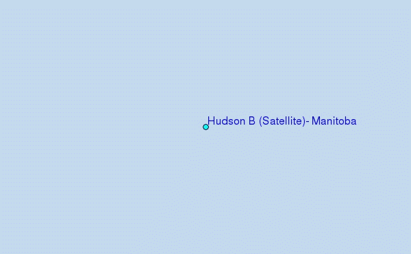