
| Distance / Altitude | Location | Report Date / Time | Live Weather | Wind | Gusts | Temp. | Visibility | Cloud |
|---|---|---|---|---|---|---|---|---|
| 72 km N / 34 m | Sanikiluaq (Canada) | 2026-07-26 06:00 local (2026/07/26 10:00 GMT) | no report | wind obs. (40 kph from 260 degs) was rejected (- km/h at -) | 4°C | - | - - - | |
| 108 km SE / 164 m | Kuujjuarapik Airport (Quebec) | 2026-07-26 05:00 local (2026/07/26 09:00 GMT) | Dry and cloudy | light winds from the SSW.(Wind varies from 170 to 230 degs) (6 km/h at 200) | 7°C | 14 | overcast | |
| 267 km SSE / 195 m | LA Grande Riviere A- Que (Canada) | 2026-07-26 06:00 local (2026/07/26 10:00 GMT) | no report | - (- km/h at -) | 6°C | - | - - - | |
| 269 km SSE / 217 m | La Grande Rivier Airport (Quebec) | 2026-07-26 05:00 local (2026/07/26 09:00 GMT) | Drizzle | calm (0 km/h at 0) | 7°C | 6 | overcast | |
| 292 km NNE / 1 m | Inukjuak Ua- Que (Canada) | 2026-07-26 05:41 local (2026/07/26 09:41 GMT) | Dry and partly cloudy | light winds from the SSW (19 km/h at 210) | 8°C | 14 | scattered broken - | |
| 396 km SSW / 9 m | Attawapiskat Airport (Canada) | 2026-07-26 05:00 local (2026/07/26 09:00 GMT) | Clear | light winds from the SW.(Wind varies from 170 to 250 degs) (7 km/h at 220) | 7°C | 14 | ||
| 416 km SW / 11 m | Peawanuck (Aut)- Ont (Canada) | 2026-07-26 06:00 local (2026/07/26 10:00 GMT) | Dry and cloudy | light winds from the WSW (15 km/h at 250) | 13°C | 14 | overcast - - | |
| 421 km ESE / 714 m | Aéroport de La Grande-4 (Quebec) | 2026-07-26 06:00 local (2026/07/26 10:00 GMT) | no report | light winds from the WSW (14 km/h at 250) | 8°C | 14 | broken overcast - | |
| 421 km ESE / 714 m | LA Grande-4 Airport (Quebec) | 2026-07-26 05:28 local (2026/07/26 09:28 GMT) | Dry and cloudy | light winds from the W (7 km/h at 260) | 14°C | 14 | broken overcast | |
| 433 km ENE / 171 m | Riviere Aux Feuilles- Que (Canada) | 2026-07-26 06:00 local (2026/07/26 10:00 GMT) | no report | strong winds from the W (40 km/h at 260) | 4°C | - | - |
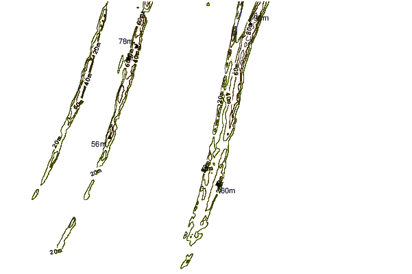
| Contours: | Roads & Rivers: | Select a
tide station / surf break / city |
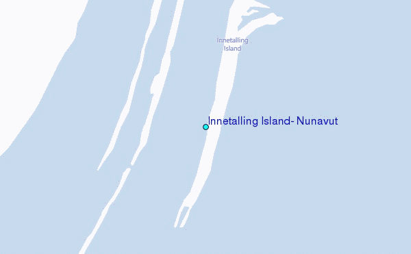
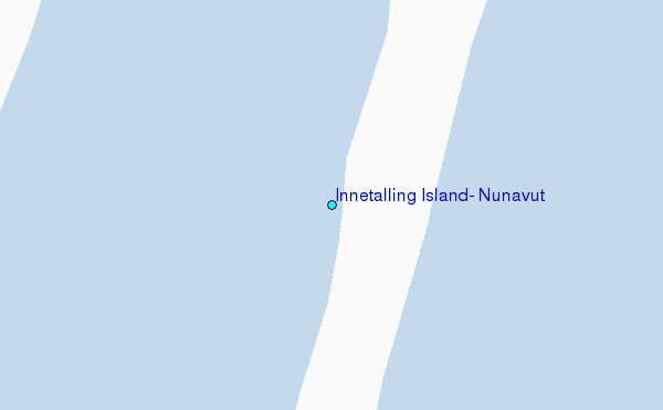
Use this relief map to navigate to tide stations, surf breaks and cities that are in the area of Innetalling Island, Nunavut.
Other Nearby Locations' tide tables and tide charts to Innetalling Island, Nunavut:
click location name for more details
 Surf breaks close to Innetalling Island, Nunavut:
|
||
|---|---|---|
| Closest surf break | Marathon | 587 mi |
| Second closest surf break | Alona Bay | 650 mi |
| Third closest surf break | Keweenaw Peninsula | 701 mi |
| Fourth closest surf break | Grand Marias | 706 mi |
| Fifth closest surf break | Au Sable Point | 707 mi |


 Nearest
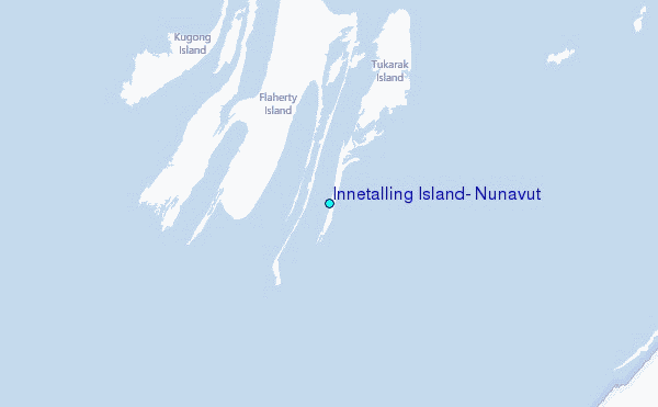