
| Distance / Altitude | Location | Report Date / Time | Live Weather | Wind | Gusts | Temp. | Visibility | Cloud |
|---|---|---|---|---|---|---|---|---|
| 12 km SSW / 3 m | SHIP3155 (Marine) | 2026-07-26 05:30 local (2026/07/26 08:00 GMT) | light winds from the ENE (9 km/h at 70) | 13°C | - | |||
| 12 km SSW / 15 m | SHIP2003 (Marine) | 2026-07-26 05:30 local (2026/07/26 08:00 GMT) | light winds from the ENE (9.360000000000001 km/h at 70) | — | - km | |||
| 12 km SSW / 3 m | SHIP8537 (Marine) | 2026-07-26 05:30 local (2026/07/26 08:00 GMT) | light winds from the ENE (9 km/h at 70) | 13°C | - | |||
| 12 km SSW / 15 m | SHIP9462 (Marine) | 2026-07-26 05:30 local (2026/07/26 08:00 GMT) | light winds from the ENE (9.360000000000001 km/h at 70) | — | - km | |||
| 12 km SSW / 15 m | SHIP5904 (Marine) | 2026-07-26 05:30 local (2026/07/26 08:00 GMT) | light winds from the ENE (9.360000000000001 km/h at 70) | — | - km | |||
| 12 km SSW / 3 m | SHIP631 (Marine) | 2026-07-26 06:30 local (2026/07/26 09:00 GMT) | light winds from the SSW (13 km/h at 200) | 13°C | - | |||
| 12 km SSW / 3 m | SHIP517 (Marine) | 2026-07-26 06:30 local (2026/07/26 09:00 GMT) | light winds from the SSW (13 km/h at 200) | 13°C | - | |||
| 12 km SSW / 15 m | SHIP6058 (Marine) | 2026-07-26 05:30 local (2026/07/26 08:00 GMT) | light winds from the ENE (9.360000000000001 km/h at 70) | — | - km | |||
| 12 km SSW / 3 m | SHIP4496 (Marine) | 2026-07-26 05:30 local (2026/07/26 08:00 GMT) | light winds from the ENE (9 km/h at 70) | 13°C | - | |||
| 12 km SSW / 15 m | SHIP1652 (Marine) | 2026-07-26 06:30 local (2026/07/26 09:00 GMT) | light winds from the SSW (12.96 km/h at 200) | — | - km |
| Contours: | Roads & Rivers: | Select a
tide station / surf break / city |
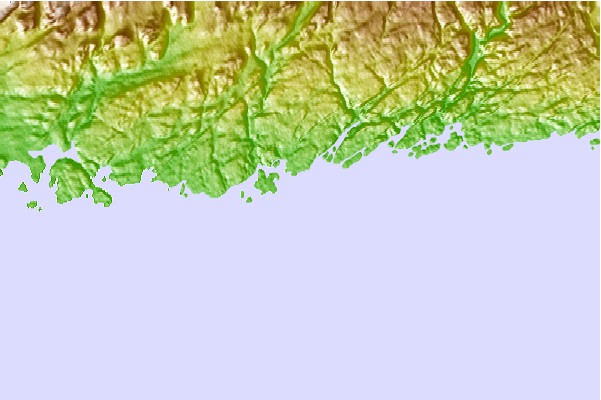
Use this relief map to navigate to tide stations, surf breaks and cities that are in the area of Isle Aux Morts, Newfoundland.
Other Nearby Locations' tide tables and tide charts to Isle Aux Morts, Newfoundland:
click location name for more details
 Surf breaks close to Isle Aux Morts, Newfoundland:
|
||
|---|---|---|
| Closest surf break | Ingonish Beach | 93 mi |
| Second closest surf break | Kennington Cove | 128 mi |
| Third closest surf break | Michaud Point | 160 mi |
| Fourth closest surf break | Martinique | 283 mi |
| Fifth closest surf break | Lawrencetown Left Point | 291 mi |


 Nearest