
| Distance / Altitude | Location | Report Date / Time | Live Weather | Wind | Gusts | Temp. | Visibility | Cloud |
|---|---|---|---|---|---|---|---|---|
| 45 km WSW / 207 m | Twillingate Airport (Newfoundland) | 2026-07-26 06:30 local (2026/07/26 09:00 GMT) | - | light winds from the W (6 km/h at 280) | 15°C | 0.0 | ||
| 46 km WSW / 92 m | Twillingate (Aut)- Nfld (Canada) | 2026-07-26 06:30 local (2026/07/26 09:00 GMT) | - | fresh winds from the SW (29 km/h at 220) | — | - | - - - | |
| 83 km SSE / 19 m | Pools Island- Nfld (Canada) | 2026-07-26 06:30 local (2026/07/26 09:00 GMT) | - | light winds from the S (18 km/h at 180) | — | - | - - - | |
| 92 km S / 151 m | Gander Int l A- Nfld (Canada) | 2026-07-26 07:30 local (2026/07/26 10:00 GMT) | no report | - (- km/h at -) | 23°C | - | - | |
| 92 km S / 68 m | Gander International Airport (Canada) | 2026-07-26 07:30 local (2026/07/26 10:00 GMT) | no report | moderate winds from the SW (25 km/h at 230) | 23°C | - | - | |
| 92 km S / 151 m | Gander Airport (Canada) | 2026-07-26 06:30 local (2026/07/26 09:00 GMT) | no report | moderate winds from the SW (25 km/h at 230) | 23°C | - | - - - | |
| 92 km S / 217 m | Gander International Airport (Newfoundland) | 2026-07-26 06:30 local (2026/07/26 09:00 GMT) | - | light winds from the NW (7 km/h at 310) | 15°C | 32 | few | |
| 110 km WSW / 194 m | La Scie, Newfoundland (Canada) | 2026-07-26 07:30 local (2026/07/26 10:00 GMT) | - | wind obs. (14 kph from 230 degs) was rejected (- km/h at -) | — | - | - - - | |
| 132 km S / 107 m | Terra Nova Nat Park Cs- Nfld (Canada) | 2026-07-26 07:30 local (2026/07/26 10:00 GMT) | no report | moderate winds from the SW (22 km/h at 230) | 19°C | - | - | |
| 132 km S / 216 m | Terra Nova Airport (Newfoundland) | 2026-07-26 06:30 local (2026/07/26 09:00 GMT) | - | light winds from the WSW (6 km/h at 240) | 15°C | 0.0 |
| Contours: | Roads & Rivers: | Select a
tide station / surf break / city |
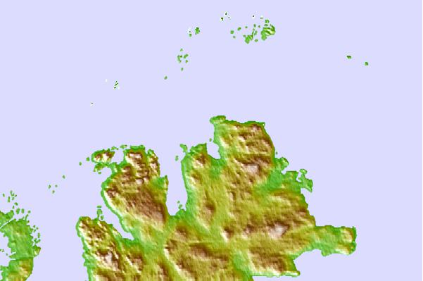
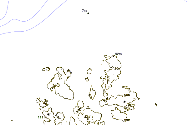
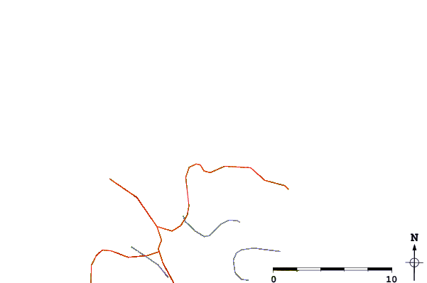
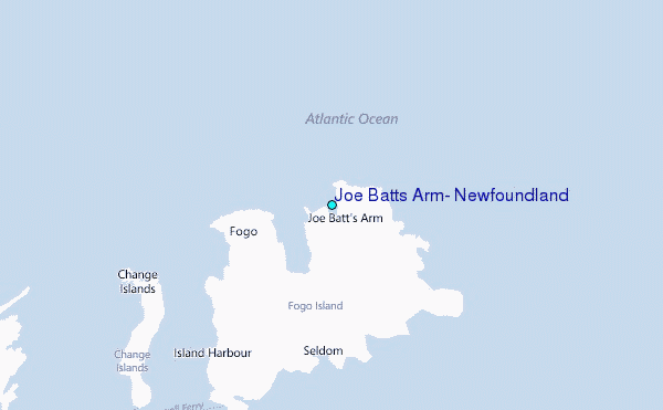
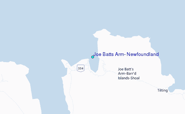
Use this relief map to navigate to tide stations, surf breaks and cities that are in the area of Joe Batts Arm, Newfoundland.
Other Nearby Locations' tide tables and tide charts to Joe Batts Arm, Newfoundland:
click location name for more details
 Surf breaks close to Joe Batts Arm, Newfoundland:
|
||
|---|---|---|
| Closest surf break | Ingonish Beach | 357 mi |
| Second closest surf break | Kennington Cove | 382 mi |
| Third closest surf break | Michaud Point | 418 mi |
| Fourth closest surf break | Martinique | 547 mi |
| Fifth closest surf break | Lawrencetown Left Point | 556 mi |


 Nearest
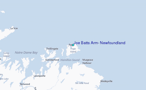