
| Distance / Altitude | Location | Report Date / Time | Live Weather | Wind | Gusts | Temp. | Visibility | Cloud |
|---|---|---|---|---|---|---|---|---|
| 0 km NNE / 50 m | K13-A Noordwinning A platform (Netherlands) | 2026-07-09 20:25 local (2026/07/09 18:25 GMT) | no report | calm (4 km/h at 60) | 14°C | - | - - - | |
| 28 km ENE / 28 m | K14 -FA -1C (Netherlands) | 2026-07-09 21:00 local (2026/07/09 19:00 GMT) | Dry and partly cloudy | light winds from the E (9 km/h at 100) | 20°C | 10.0 | no cloud - - | |
| 31 km SW / 3 m | East Anglia 3 Buoy (Marine) | 2026-07-09 21:00 local (2026/07/09 19:00 GMT) | light winds from the ESE (17 km/h at 120) | 20°C | 50.0 | |||
| 40 km SSE / 15 m | SHIP1737 (Marine) | 2026-07-09 21:00 local (2026/07/09 19:00 GMT) | - (- km/h at -) | — | - km | |||
| 47 km WNW / 3 m | BUOY-62121 (Marine) | 2026-07-09 21:00 local (2026/07/09 19:00 GMT) | light winds from the SE (13 km/h at 140) | 19°C | 50.0 | |||
| 47 km WNW / 3 m | BUOY-62121 (Marine) | 2026-07-09 21:00 local (2026/07/09 19:00 GMT) | light winds from the SE (13 km/h at 140) | 19°C | 50.0 | |||
| 70 km NW / 34 m | J6-A Markham field platform (Netherlands) | 2026-07-09 20:00 local (2026/07/09 18:00 GMT) | Dry and partly cloudy | light winds from the SSE (17 km/h at 160) | 19°C | 10.0 | no cloud - - | |
| 74 km SE / 15 m | SHIP1578 (Marine) | 2026-07-09 20:00 local (2026/07/09 18:00 GMT) | - (- km/h at -) | — | - km | |||
| 74 km SE / 3 m | SHIP944 (Marine) | 2026-07-09 20:00 local (2026/07/09 18:00 GMT) | - (- km/h at -) | 19°C | - | |||
| 74 km SE / 3 m | SHIP5180 (Marine) | 2026-07-09 20:00 local (2026/07/09 18:00 GMT) | - (- km/h at -) | 19°C | - |
| Contours: | Roads & Rivers: | Select a
tide station / surf break / city |


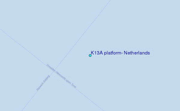
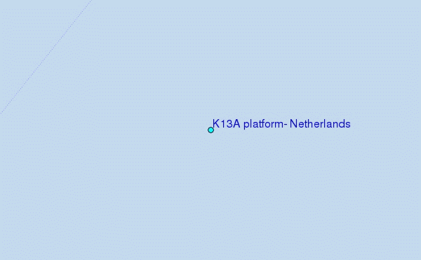
Use this relief map to navigate to tide stations, surf breaks and cities that are in the area of K13A platform, Netherlands.
Other Nearby Locations' tide tables and tide charts to K13A platform, Netherlands:
click location name for more details
 Surf breaks close to K13A platform, Netherlands:
|
||
|---|---|---|
| Closest surf break | Texel (Waddeneilanden) | 63 mi |
| Second closest surf break | Kogerstrand (De Koog) | 64 mi |
| Third closest surf break | Camperduin | 67 mi |
| Fourth closest surf break | Hargen | 67 mi |
| Fifth closest surf break | Petten | 67 mi |


 Nearest
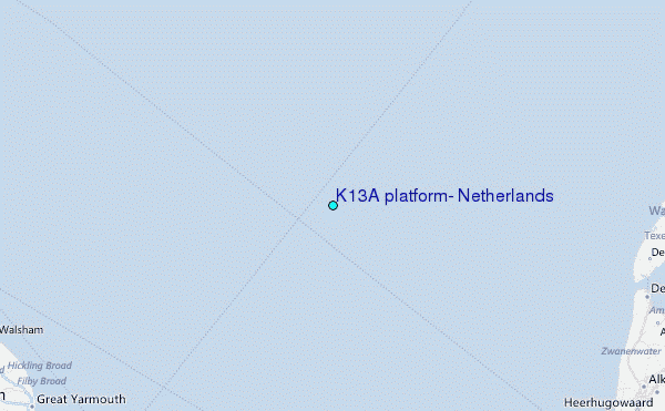