
| Distance / Altitude | Location | Report Date / Time | Live Weather | Wind | Gusts | Temp. | Visibility | Cloud |
|---|---|---|---|---|---|---|---|---|
| 56 km NW / 446 m | Oita Airport (Japan) | 2026-07-10 05:00 local (2026/07/09 20:00 GMT) | Dry and partly cloudy | light winds from the ESE (13 km/h at 120) | 23°C | 10.0 | few scattered broken | |
| 102 km WSW / 474 m | Kumamoto Airport (Japan) | 2026-07-10 05:00 local (2026/07/09 20:00 GMT) | Dry and partly cloudy | light winds from the NE (11 km/h at 50) | 24°C | 10.0 | no cloud | |
| 118 km NE / 475 m | Matsuyama Airport (Japan) | 2026-07-10 05:00 local (2026/07/09 20:00 GMT) | Dry and partly cloudy | calm (2 km/h at 1) | 24°C | 10.0 | no cloud | |
| 119 km NW / 475 m | Yamaguchi/Ube Airport (Japan) | 2026-07-10 05:00 local (2026/07/09 20:00 GMT) | Dry and partly cloudy | moderate winds from the E (24 km/h at 90) | 24°C | 10.0 | broken broken | |
| 122 km NE / 9 m | Minamiedo wx (Japan) | 2026-07-10 03:33 local (2026/07/09 18:33 GMT) | dry | calm (2 km/h at 111) | 23°C | - | - - 0 | |
| 122 km NW / 20 m | Imamurakita wx (Japan) | 2026-07-10 05:03 local (2026/07/09 20:03 GMT) | dry | calm (3 km/h at 104) | 24°C | - | - - 0 | |
| 129 km WNW / 218 m | Kitakyushu Airport (Japan) | 2026-07-10 05:00 local (2026/07/09 20:00 GMT) | Dry and partly cloudy | light winds from the E (13 km/h at 80) | 25°C | 10.0 | few scattered broken | |
| 131 km NNE / 401 m | Iwakuni Marine Corps Air Station Airport (Japan) | 2026-07-10 04:56 local (2026/07/09 19:56 GMT) | - | light winds from the WNW (9 km/h at 300) | 23°C | 16 | few | |
| 131 km S / 475 m | Miyazaki Airport (Japan) | 2026-07-10 05:00 local (2026/07/09 20:00 GMT) | Light rain | light winds from the W (9 km/h at 280) | 24°C | 2.8 | overcast | |
| 134 km E / 0 m | lightning 38km E of Nakamura (Japan) | 2026-07-10 04:46 local (2026/07/09 19:46 GMT) | Thunderstorm | (- km/h at -) | — |
| Contours: | Roads & Rivers: | Select a
tide station / surf break / city |
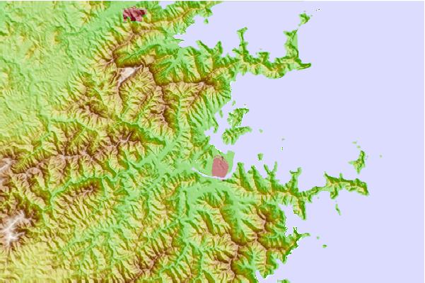
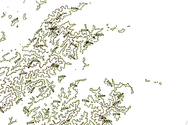
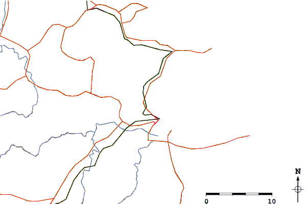
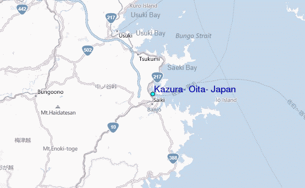
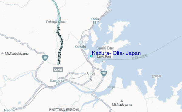
Use this relief map to navigate to tide stations, surf breaks and cities that are in the area of Kazura, Oita, Japan.
Other Nearby Locations' tide tables and tide charts to Kazura, Oita, Japan:
click location name for more details
 Surf breaks close to Kazura, Oita, Japan:
|
||
|---|---|---|
| Closest surf break | Dragons Leaf | 14 mi |
| Second closest surf break | Kodogawa | 39 mi |
| Third closest surf break | Okuragahama | 43 mi |
| Fourth closest surf break | Kanegahama | 46 mi |
| Fifth closest surf break | Mimitsu | 48 mi |


 Nearest
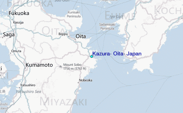