
| Distance / Altitude | Location | Report Date / Time | Live Weather | Wind | Gusts | Temp. | Visibility | Cloud |
|---|---|---|---|---|---|---|---|---|
| 59 km WNW / 3 m | Nanakwa Shoal Buoy (Marine) | 2026-07-26 03:00 local (2026/07/26 10:00 GMT) | light winds from the WSW (11 km/h at 240) | 14°C | - | |||
| 69 km NW / 11 m | Kitimat (British Columbia) | 2026-07-26 03:05 local (2026/07/26 10:05 GMT) | dry | calm (0 km/h at 143) | 14°C | - | - - 0 | |
| 110 km NW / 713 m | Terrace Airport (British Columbia) | 2026-07-26 02:00 local (2026/07/26 09:00 GMT) | Light rain | fresh winds from the SSE (35 km/h at 160) | 12°C | 13 | few overcast | |
| 110 km NW / 217 m | Terrace A- BC (Canada) | 2026-07-26 02:00 local (2026/07/26 09:00 GMT) | no report | - (- km/h at -) | 14°C | - | - - - | |
| 128 km W / 15 m | SHIP6124 (Marine) | 2026-07-26 01:00 local (2026/07/26 08:00 GMT) | light winds from the SSE (12.96 km/h at 150) | — | - km | |||
| 128 km W / 15 m | SHIP2212 (Marine) | 2026-07-26 01:00 local (2026/07/26 08:00 GMT) | moderate winds from the SE (24.12 km/h at 140) | — | - km | |||
| 128 km W / 15 m | SHIP9570 (Marine) | 2026-07-26 01:00 local (2026/07/26 08:00 GMT) | moderate winds from the SE (24.12 km/h at 140) | — | - km | |||
| 143 km ENE / 793 m | Ootsa Lake Skins Lake- BC (Canada) | 2026-07-26 03:00 local (2026/07/26 10:00 GMT) | no report | light winds from the WNW (11 km/h at 290) | 12°C | - | - - - | |
| 148 km W / 15 m | SHIP6242 (Marine) | 2026-07-26 01:00 local (2026/07/26 08:00 GMT) | moderate winds from the ESE (22.32 km/h at 120) | — | - km | |||
| 148 km S / 43 m | Bella Bella Airport (British columbia) | 2026-07-26 02:29 local (2026/07/26 09:29 GMT) | Light rain | light winds from the SE (7 km/h at 140) | 13°C | 5 | broken overcast |
| Contours: | Roads & Rivers: | Select a
tide station / surf break / city |
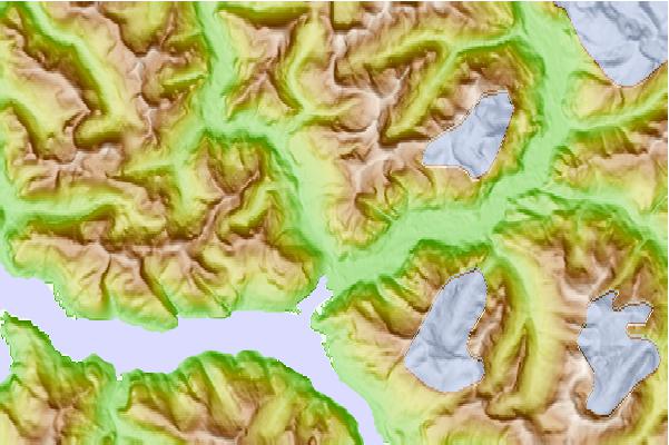
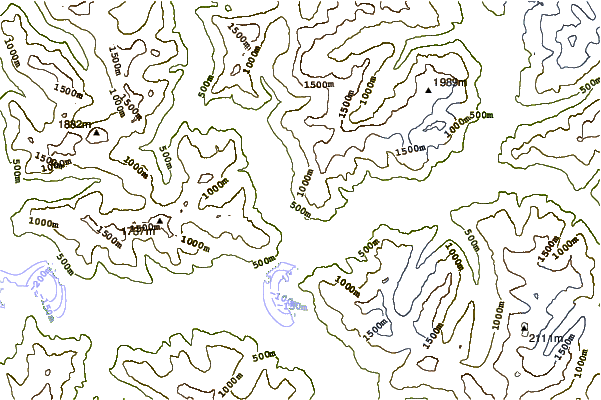
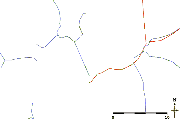
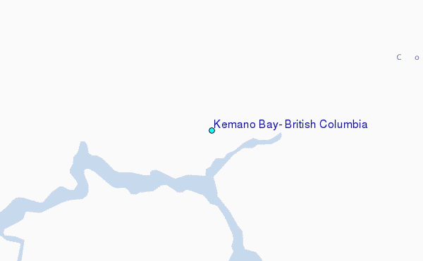
Use this relief map to navigate to tide stations, surf breaks and cities that are in the area of Kemano Bay, British Columbia.
Other Nearby Locations' tide tables and tide charts to Kemano Bay, British Columbia:
click location name for more details
 Surf breaks close to Kemano Bay, British Columbia:
|
||
|---|---|---|
| Closest surf break | Tow Hill Beach | 155 mi |
| Second closest surf break | Lepus Beach (Haida-Gwaii) | 206 mi |
| Third closest surf break | Nootka Island (Calvin Bay) | 272 mi |
| Fourth closest surf break | Tofino (North Chestermans Beach) | 319 mi |
| Fifth closest surf break | South Chesterman Beach | 319 mi |


 Nearest
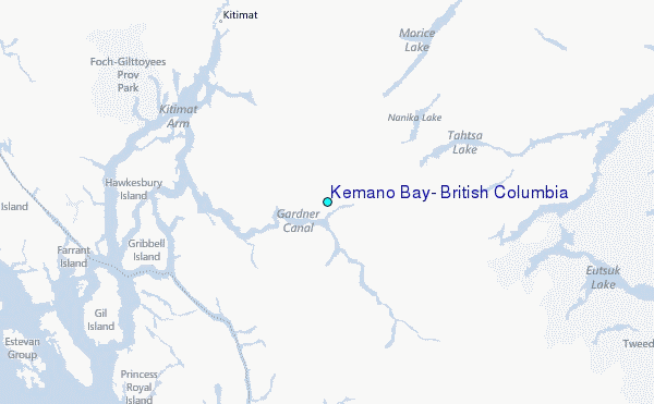