
| Distance / Altitude | Location | Report Date / Time | Live Weather | Wind | Gusts | Temp. | Visibility | Cloud |
|---|---|---|---|---|---|---|---|---|
| 44 km S / 72 m | Svartevaeg- NU (Canada) | 2026-07-26 05:00 local (2026/07/26 09:00 GMT) | no report | wind obs. (18 kph from 330 degs) was rejected (- km/h at -) | 1°C | - | - | |
| 200 km SSE / 198 m | Eureka Airport (N.w. Territories) | 2026-07-26 05:00 local (2026/07/26 09:00 GMT) | Dry and partly cloudy | moderate winds from the ESE (22 km/h at 110) | 3°C | 24 | few scattered broken | |
| 201 km SSE / 65 m | Eureka Climate (Canada) | 2026-07-26 06:00 local (2026/07/26 10:00 GMT) | no report | wind obs. (14 kph from 300 degs) was rejected (- km/h at -) | 4°C | - | - - - | |
| 459 km ENE / 65 m | Alert (Canada) | 2026-07-26 06:00 local (2026/07/26 10:00 GMT) | no report | wind obs. (7 kph from 90 degs) was rejected (- km/h at -) | 1°C | - | - - - | |
| 600 km SSE / 44 m | Grise Fiord Climate- NU (Canada) | 2026-07-26 05:00 local (2026/07/26 09:00 GMT) | no report | calm (4 km/h at 130) | 1°C | - | - | |
| 632 km SE / 17 m | Mittarfik Qaanaaq (Greenland) | 2026-07-26 06:00 local (2026/07/26 10:00 GMT) | no report | calm (2 km/h at 300) | 4°C | 45 | - - - | |
| 668 km SE / 15 m | Carey Island (Greenland) | 2026-07-26 06:00 local (2026/07/26 10:00 GMT) | no report | wind obs. (19 kph from 280 degs) was rejected (- km/h at -) | 4°C | - | - - - | |
| 735 km SE / 218 m | Thule Air Base Airport (Greenland) | 2026-07-26 04:55 local (2026/07/26 08:55 GMT) | Dry and cloudy | calm (0 km/h at 0) | 6°C | 10.0 | overcast | |
| 753 km S / 15 m | Rea Point- NU (Canada) | 2026-07-26 06:00 local (2026/07/26 10:00 GMT) | no report | wind obs. (14 kph from 160 degs) was rejected (- km/h at -) | 0°C | - | - - - | |
| 754 km S / 12 m | Rae Point (Nunavut) | 2026-07-26 05:00 local (2026/07/26 09:00 GMT) | - | light winds from the NNE (13 km/h at 20) | 0°C | 0.0 |
| Contours: | Roads & Rivers: | Select a
tide station / surf break / city |
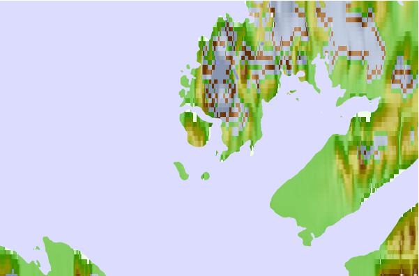
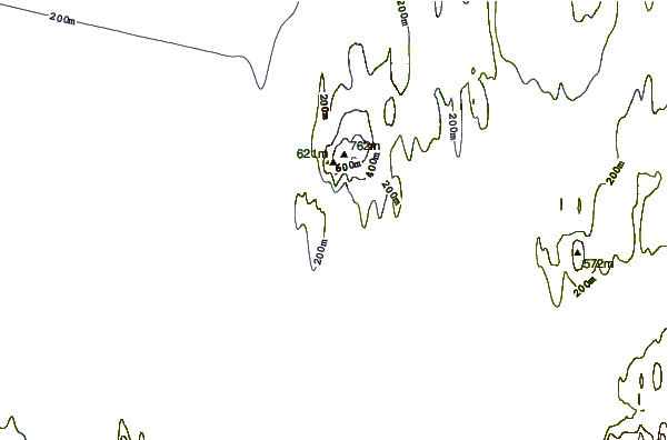
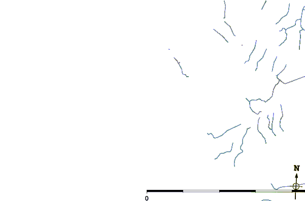
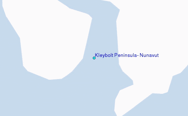
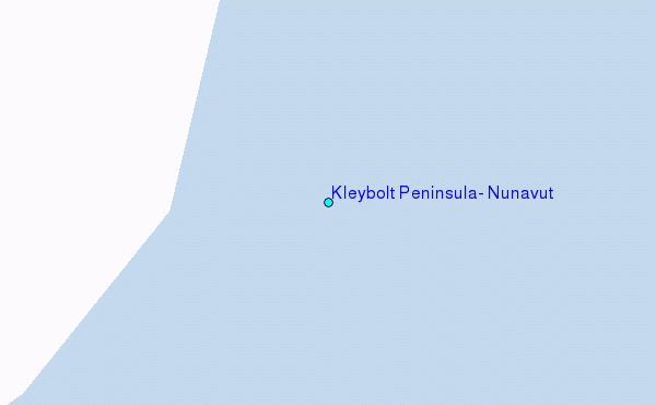
Use this relief map to navigate to tide stations, surf breaks and cities that are in the area of Kleybolt Peninsula, Nunavut.
Other Nearby Locations' tide tables and tide charts to Kleybolt Peninsula, Nunavut:
click location name for more details
 Surf breaks close to Kleybolt Peninsula, Nunavut:
|
||
|---|---|---|
| Closest surf break | Eyvik | 1613 mi |
| Second closest surf break | Garur | 1687 mi |
| Third closest surf break | Grotta | 1689 mi |
| Fourth closest surf break | Hafnarfjordur | 1696 mi |
| Fifth closest surf break | Hafnir | 1697 mi |


 Nearest
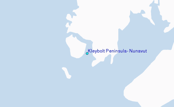