
| Distance / Altitude | Location | Report Date / Time | Live Weather | Wind | Gusts | Temp. | Visibility | Cloud |
|---|---|---|---|---|---|---|---|---|
| 218 km WSW / 503 m | Parc National Des Pingualuit- Que (Canada) | 2026-07-26 05:00 local (2026/07/26 09:00 GMT) | - | moderate winds from the WSW (22 km/h at 240) | — | - | - | |
| 305 km N / 34 m | Iqaluit (Canada) | 2026-07-26 06:00 local (2026/07/26 10:00 GMT) | no report | calm (4 km/h at 150) | 2°C | - | - | |
| 306 km N / 217 m | Frobisher/Iqaluit Airport (N.w. Territories) | 2026-07-26 05:00 local (2026/07/26 09:00 GMT) | Light rain | moderate winds from the SSE (22 km/h at 150) | 2°C | 13 | overcast | |
| 333 km SSE / 123 m | Kuujjuaq- Ua- Que (Canada) | 2026-07-26 05:40 local (2026/07/26 09:40 GMT) | - | - (- km/h at -) | — | - | - | |
| 335 km SSE / 216 m | Kuujjuaq Airport (Quebec) | 2026-07-26 05:41 local (2026/07/26 09:41 GMT) | Moderate rain | light winds from the NW.(Wind varies from 270 to 340 degs) (9 km/h at 320) | 13°C | 5 | scattered overcast | |
| 398 km S / 171 m | Riviere Aux Feuilles- Que (Canada) | 2026-07-26 06:00 local (2026/07/26 10:00 GMT) | no report | strong winds from the W (40 km/h at 260) | 4°C | - | - | |
| 415 km NE / 3 m | SHIP373 (Marine) | 2026-07-26 04:00 local (2026/07/26 08:00 GMT) | moderate winds from the E (28 km/h at 100) | 1°C | - | |||
| 415 km NE / 3 m | SHIP3262 (Marine) | 2026-07-26 04:00 local (2026/07/26 08:00 GMT) | moderate winds from the E (28 km/h at 100) | 1°C | - | |||
| 415 km NE / 15 m | SHIP5391 (Marine) | 2026-07-26 04:00 local (2026/07/26 08:00 GMT) | moderate winds from the E (27.720000000000002 km/h at 100) | — | - km | |||
| 415 km NE / 15 m | SHIP5739 (Marine) | 2026-07-26 04:00 local (2026/07/26 08:00 GMT) | moderate winds from the E (27.720000000000002 km/h at 100) | — | - km |
| Contours: | Roads & Rivers: | Select a
tide station / surf break / city |
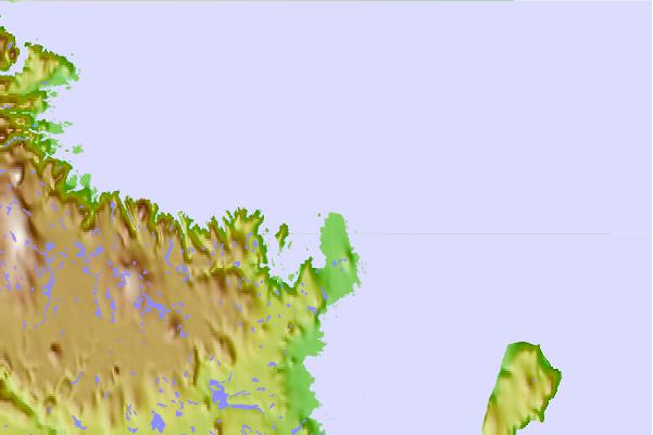
Use this relief map to navigate to tide stations, surf breaks and cities that are in the area of Koartac, Quebec.
Other Nearby Locations' tide tables and tide charts to Koartac, Quebec:
click location name for more details
 Surf breaks close to Koartac, Quebec:
|
||
|---|---|---|
| Closest surf break | Ingonish Beach | 1063 mi |
| Second closest surf break | Marathon | 1078 mi |
| Third closest surf break | Kennington Cove | 1118 mi |
| Fourth closest surf break | Michaud Point | 1130 mi |
| Fifth closest surf break | Alona Bay | 1132 mi |


 Nearest