
| Distance / Altitude | Location | Report Date / Time | Live Weather | Wind | Gusts | Temp. | Visibility | Cloud |
|---|---|---|---|---|---|---|---|---|
| 56 km SW / 3 m | SHIP3155 (Marine) | 2026-07-26 05:30 local (2026/07/26 08:00 GMT) | light winds from the ENE (9 km/h at 70) | 13°C | - | |||
| 56 km SW / 15 m | SHIP2003 (Marine) | 2026-07-26 05:30 local (2026/07/26 08:00 GMT) | light winds from the ENE (9.360000000000001 km/h at 70) | — | - km | |||
| 56 km SW / 3 m | SHIP8537 (Marine) | 2026-07-26 05:30 local (2026/07/26 08:00 GMT) | light winds from the ENE (9 km/h at 70) | 13°C | - | |||
| 56 km SW / 15 m | SHIP9462 (Marine) | 2026-07-26 05:30 local (2026/07/26 08:00 GMT) | light winds from the ENE (9.360000000000001 km/h at 70) | — | - km | |||
| 56 km SW / 15 m | SHIP5904 (Marine) | 2026-07-26 05:30 local (2026/07/26 08:00 GMT) | light winds from the ENE (9.360000000000001 km/h at 70) | — | - km | |||
| 56 km SW / 3 m | SHIP631 (Marine) | 2026-07-26 06:30 local (2026/07/26 09:00 GMT) | light winds from the SSW (13 km/h at 200) | 13°C | - | |||
| 56 km SW / 3 m | SHIP517 (Marine) | 2026-07-26 06:30 local (2026/07/26 09:00 GMT) | light winds from the SSW (13 km/h at 200) | 13°C | - | |||
| 56 km SW / 15 m | SHIP6058 (Marine) | 2026-07-26 05:30 local (2026/07/26 08:00 GMT) | light winds from the ENE (9.360000000000001 km/h at 70) | — | - km | |||
| 56 km SW / 3 m | SHIP4496 (Marine) | 2026-07-26 05:30 local (2026/07/26 08:00 GMT) | light winds from the ENE (9 km/h at 70) | 13°C | - | |||
| 56 km SW / 15 m | SHIP1652 (Marine) | 2026-07-26 06:30 local (2026/07/26 09:00 GMT) | light winds from the SSW (12.96 km/h at 200) | — | - km |
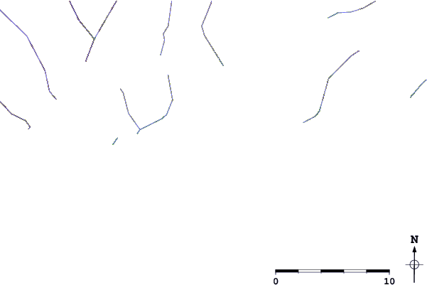
| Contours: | Roads & Rivers: | Select a
tide station / surf break / city |
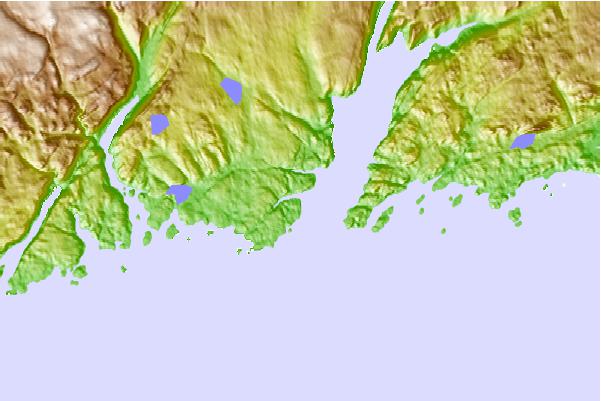
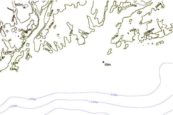
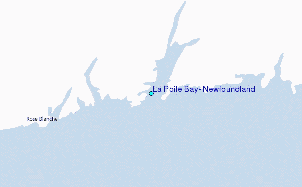
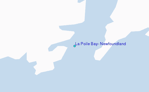
Use this relief map to navigate to tide stations, surf breaks and cities that are in the area of La Poile Bay, Newfoundland.
Other Nearby Locations' tide tables and tide charts to La Poile Bay, Newfoundland:
click location name for more details
 Surf breaks close to La Poile Bay, Newfoundland:
|
||
|---|---|---|
| Closest surf break | Ingonish Beach | 117 mi |
| Second closest surf break | Kennington Cove | 147 mi |
| Third closest surf break | Michaud Point | 181 mi |
| Fourth closest surf break | Martinique | 307 mi |
| Fifth closest surf break | Lawrencetown Left Point | 315 mi |


 Nearest
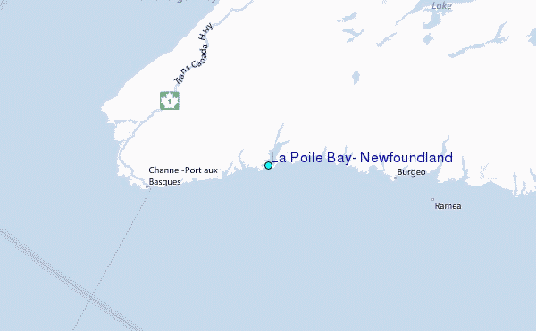