
| Distance / Altitude | Location | Report Date / Time | Live Weather | Wind | Gusts | Temp. | Visibility | Cloud |
|---|---|---|---|---|---|---|---|---|
| 61 km SSW / 198 m | Chevery Airport (Quebec) | 2026-07-26 06:00 local (2026/07/26 09:00 GMT) | - | light winds from the SSW (6 km/h at 210) | 12°C | 0.0 | ||
| 63 km SSW / 8 m | Chevery- Que (Canada) | 2026-07-26 07:00 local (2026/07/26 10:00 GMT) | no report | light winds from the SSW (14 km/h at 200) | 15°C | - | - - - | |
| 107 km SSW / 7 m | Cape Whittle- Que (Canada) | 2026-07-26 07:00 local (2026/07/26 10:00 GMT) | no report | fresh winds from the W (36 km/h at 270) | 11°C | - | - - - | |
| 132 km E / 6 m | Ferolle Point (Aut)- Nfld (Canada) | 2026-07-26 07:00 local (2026/07/26 10:00 GMT) | no report | strong winds from the SSW (50 km/h at 200) | 13°C | - | - - - | |
| 132 km E / 216 m | Ferolle Point Airport (Newfoundland) | 2026-07-26 06:00 local (2026/07/26 09:00 GMT) | - | light winds from the SSW (17 km/h at 210) | 14°C | 0.0 | ||
| 136 km SW / 3 m | SHIP1226 (Marine) | 2026-07-26 05:00 local (2026/07/26 08:00 GMT) | light winds from the S (11 km/h at 190) | 14°C | - | |||
| 136 km SW / 15 m | SHIP1842 (Marine) | 2026-07-26 05:00 local (2026/07/26 08:00 GMT) | light winds from the S (11.16 km/h at 190) | — | - km | |||
| 136 km SW / 15 m | SHIP5401 (Marine) | 2026-07-26 05:00 local (2026/07/26 08:00 GMT) | light winds from the S (11.16 km/h at 190) | — | - km | |||
| 136 km SW / 3 m | SHIP310 (Marine) | 2026-07-26 05:00 local (2026/07/26 08:00 GMT) | light winds from the S (11 km/h at 190) | 14°C | - | |||
| 136 km SW / 15 m | SHIP2024 (Marine) | 2026-07-26 05:00 local (2026/07/26 08:00 GMT) | light winds from the S (11.16 km/h at 190) | — | - km |
| Contours: | Roads & Rivers: | Select a
tide station / surf break / city |
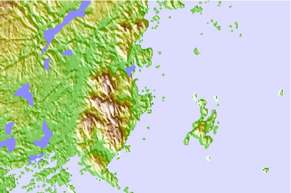
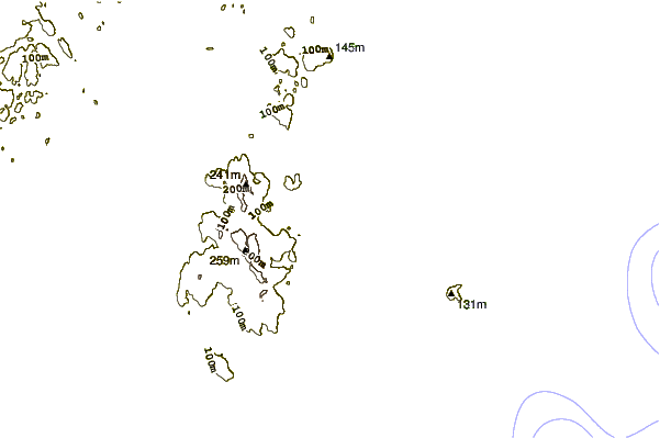
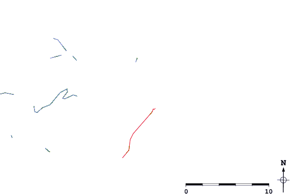
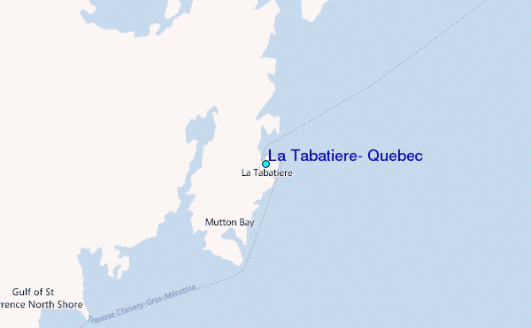
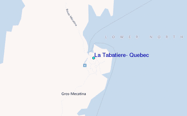
Use this relief map to navigate to tide stations, surf breaks and cities that are in the area of La Tabatiere, Quebec.
Other Nearby Locations' tide tables and tide charts to La Tabatiere, Quebec:
click location name for more details
 Surf breaks close to La Tabatiere, Quebec:
|
||
|---|---|---|
| Closest surf break | Ingonish Beach | 297 mi |
| Second closest surf break | Kennington Cove | 346 mi |
| Third closest surf break | Michaud Point | 372 mi |
| Fourth closest surf break | Martinique | 467 mi |
| Fifth closest surf break | Lawrencetown Left Point | 474 mi |


 Nearest
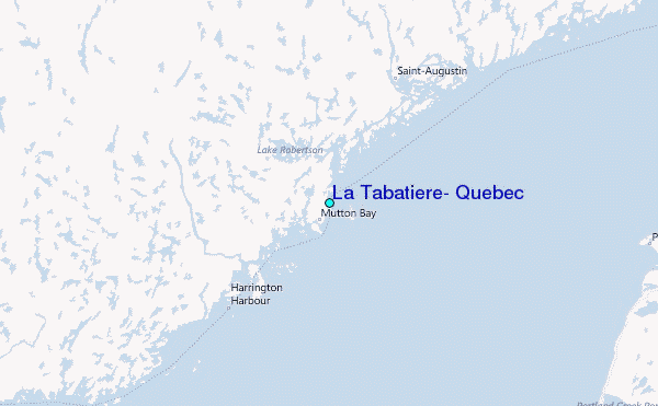