
| Distance / Altitude | Location | Report Date / Time | Live Weather | Wind | Gusts | Temp. | Visibility | Cloud |
|---|---|---|---|---|---|---|---|---|
| 3 km SSW / 696 m | Caracas Airport/Aeropuerto Internacional Simon Bolivar (Venezuela) | 2026-07-09 14:00 local (2026/07/09 18:00 GMT) | - | calm (0 km/h at 80) | — | 10.0 | few broken - | |
| 11 km SSE / 997 m | San Bernardino wx (Venezuela) | 2026-07-09 15:45 local (2026/07/09 19:45 GMT) | dry | light winds from the SSE (8 km/h at 153) | 27°C | - | - - 0 | |
| 15 km SE / 860 m | Caracas (Venezuela) | 2026-07-09 15:35 local (2026/07/09 19:35 GMT) | dry | light winds from the E (8 km/h at 101) | 28°C | - | - - 0 | |
| 16 km SE / 980 m | Caracas (Åland) | 2026-07-09 14:28 local (2026/07/09 18:28 GMT) | dry | wind obs. (6 kph from 27 degs) was rejected (- km/h at -) | 32°C | - | - - 0 | |
| 116 km SW / 512 m | Zim Valencia International Airport (Venezuela) | 2026-07-09 14:00 local (2026/07/09 18:00 GMT) | Dry and partly cloudy | calm (0 km/h at 0) | 31°C | 10.0 | broken | |
| 223 km WNW / 3 m | Flamingo Airport- Bonaire (Netherlands) | 2026-07-09 15:00 local (2026/07/09 19:00 GMT) | no report | fresh winds from the E (29 km/h at 100) | 28°C | 23 | - | |
| 225 km WNW / 175 m | Bonaire/Flamingo Airport (Lesser Antilles) | 2026-07-09 13:55 local (2026/07/09 17:55 GMT) | - | fresh winds from the ESE.(Wind varies from 060 to 160 degs) (33 km/h at 110) | 31°C | 10.0 | few | |
| 242 km ESE / 15 m | SHIP3838 (Marine) | 2026-07-09 13:00 local (2026/07/09 17:00 GMT) | fresh winds from the E (29.52 km/h at 90) | 26°C | 8.1 km | |||
| 242 km ESE / 3 m | SHIP479 (Marine) | 2026-07-09 13:00 local (2026/07/09 17:00 GMT) | fresh winds from the E (30 km/h at 90) | 26°C | 9.3 | |||
| 242 km ESE / 3 m | SHIP4258 (Marine) | 2026-07-09 13:00 local (2026/07/09 17:00 GMT) | fresh winds from the E (30 km/h at 90) | 26°C | 9.3 |
| Contours: | Roads & Rivers: | Select a
tide station / surf break / city |
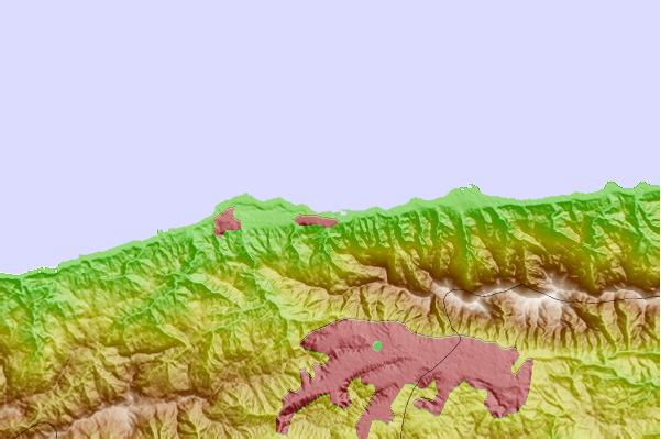
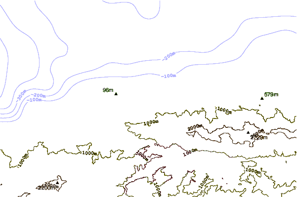
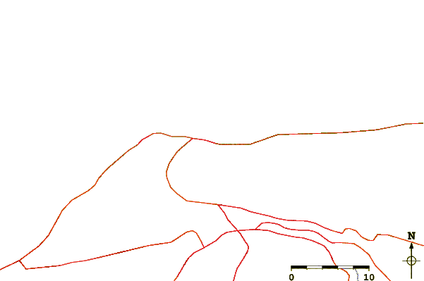
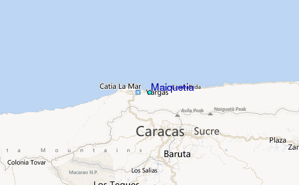
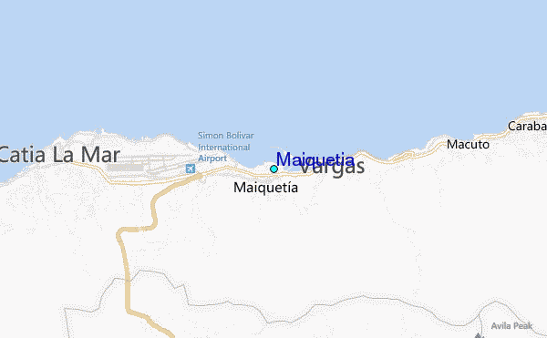
Use this relief map to navigate to tide stations, surf breaks and cities that are in the area of Maiquetia.
Other Nearby Locations' tide tables and tide charts to Maiquetia:
click location name for more details
 Surf breaks close to Maiquetia:
|
||
|---|---|---|
| Closest surf break | Playita | 2 mi |
| Second closest surf break | Los Pocitos | 2 mi |
| Third closest surf break | Mamo | 3 mi |
| Fourth closest surf break | Marina Grande | 4 mi |
| Fifth closest surf break | Cumboto | 6 mi |


 Nearest
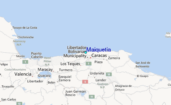