
| Distance / Altitude | Location | Report Date / Time | Live Weather | Wind | Gusts | Temp. | Visibility | Cloud |
|---|---|---|---|---|---|---|---|---|
| 2 km S / 345 m | Makkovik Airport (Newfoundland) | 2026-07-26 06:30 local (2026/07/26 09:00 GMT) | Dry and partly cloudy | light winds from the WSW (19 km/h at 240) | 21°C | 24 | broken | |
| 78 km W / 212 m | Hopedale Airport (Newfoundland) | 2026-07-26 06:30 local (2026/07/26 09:00 GMT) | - | fresh winds from the N (30 km/h at 0) | 19°C | 0.0 | ||
| 78 km W / 10 m | Hopedale (Aut)- Nfld (Canada) | 2026-07-26 07:30 local (2026/07/26 10:00 GMT) | no report | - (- km/h at 320) | 12°C | - | - | |
| 206 km SE / 14 m | Cartwright (Canada) | 2026-07-26 07:30 local (2026/07/26 10:00 GMT) | no report | light winds from the SW (7 km/h at 230) | 18°C | - | - | |
| 209 km SE / 12 m | Cartwright Airport (Newfoundland) | 2026-07-26 06:30 local (2026/07/26 09:00 GMT) | Clear | light winds from the SSW (13 km/h at 210) | 20°C | 14 | ||
| 213 km S / 216 m | Goose Bay Airport (Newfoundland) | 2026-07-26 06:30 local (2026/07/26 09:00 GMT) | Dry and partly cloudy | light winds from the S (11 km/h at 180) | 20°C | 24 | few broken broken | |
| 213 km S / 1 m | Goose Ua- Nfld (Canada) | 2026-07-26 07:30 local (2026/07/26 10:00 GMT) | - | - (- km/h at -) | — | - | - | |
| 225 km WNW / 472 m | Nain Airport (Newfoundland) | 2026-07-26 06:30 local (2026/07/26 09:00 GMT) | Dry and partly cloudy | calm (0 km/h at 0) | 10°C | 24 | few broken | |
| 227 km WNW / 12 m | Nain- Nfld (Canada) | 2026-07-26 07:30 local (2026/07/26 10:00 GMT) | no report | - (- km/h at -) | 15°C | - | - | |
| 297 km NW / 15 m | SHIP5714 (Marine) | 2026-07-26 06:30 local (2026/07/26 09:00 GMT) | moderate winds from the WSW (20.52 km/h at 240) | 7°C | - km |
| Contours: | Roads & Rivers: | Select a
tide station / surf break / city |
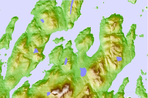
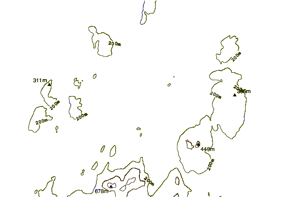
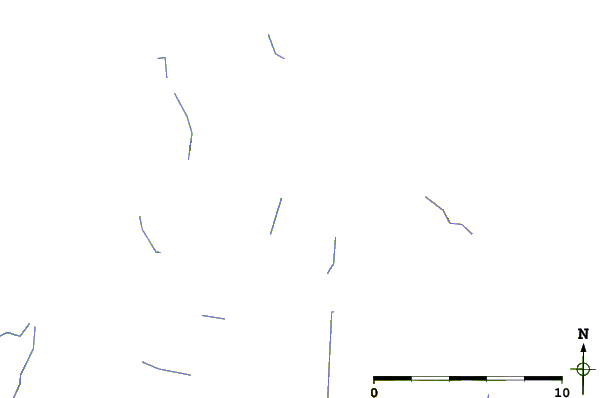
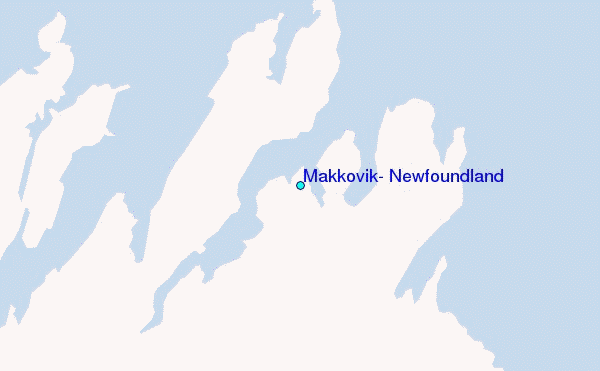
Use this relief map to navigate to tide stations, surf breaks and cities that are in the area of Makkovik, Newfoundland.
Other Nearby Locations' tide tables and tide charts to Makkovik, Newfoundland:
click location name for more details
 Surf breaks close to Makkovik, Newfoundland:
|
||
|---|---|---|
| Closest surf break | Ingonish Beach | 586 mi |
| Second closest surf break | Kennington Cove | 638 mi |
| Third closest surf break | Michaud Point | 661 mi |
| Fourth closest surf break | Martinique | 740 mi |
| Fifth closest surf break | Lawrencetown Left Point | 745 mi |


 Nearest
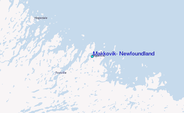