
| Distance / Altitude | Location | Report Date / Time | Live Weather | Wind | Gusts | Temp. | Visibility | Cloud |
|---|---|---|---|---|---|---|---|---|
| 16 km SSW / 52 m | Mont -Joli A- Que (Canada) | 2026-07-26 06:00 local (2026/07/26 10:00 GMT) | - | - (- km/h at -) | — | - | - - - | |
| 16 km SSW / 217 m | Mont Joli Airport (Quebec) | 2026-07-26 05:00 local (2026/07/26 09:00 GMT) | Dry and partly cloudy | calm (4 km/h at 1) | 19°C | 48 | broken scattered broken | |
| 18 km WNW / 3 m | SHIP1245 (Marine) | 2026-07-26 04:00 local (2026/07/26 08:00 GMT) | moderate winds from the E (26 km/h at 80) | — | - | |||
| 18 km WNW / 15 m | SHIP5843 (Marine) | 2026-07-26 04:00 local (2026/07/26 08:00 GMT) | moderate winds from the E (25.92 km/h at 80) | — | - km | |||
| 18 km WNW / 3 m | SHIP1700 (Marine) | 2026-07-26 04:00 local (2026/07/26 08:00 GMT) | moderate winds from the E (26 km/h at 80) | — | - | |||
| 18 km WNW / 3 m | SHIP329 (Marine) | 2026-07-26 04:00 local (2026/07/26 08:00 GMT) | moderate winds from the E (26 km/h at 80) | — | - | |||
| 18 km WNW / 3 m | SHIP118 (Marine) | 2026-07-26 04:00 local (2026/07/26 08:00 GMT) | moderate winds from the E (26 km/h at 80) | — | - | |||
| 18 km WNW / 3 m | SHIP3196 (Marine) | 2026-07-26 04:00 local (2026/07/26 08:00 GMT) | moderate winds from the E (26 km/h at 80) | — | - | |||
| 18 km WNW / 15 m | SHIP1936 (Marine) | 2026-07-26 04:00 local (2026/07/26 08:00 GMT) | moderate winds from the E (25.92 km/h at 80) | — | - km | |||
| 18 km WNW / 15 m | SHIP2979 (Marine) | 2026-07-26 04:00 local (2026/07/26 08:00 GMT) | moderate winds from the E (25.92 km/h at 80) | — | - km |
| Contours: | Roads & Rivers: | Select a
tide station / surf break / city |
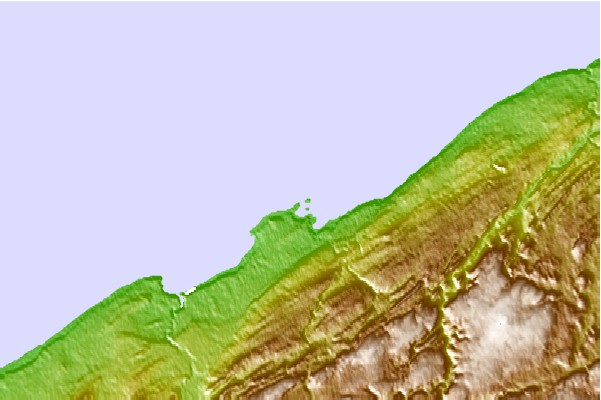
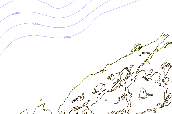
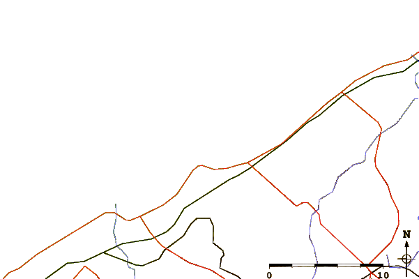
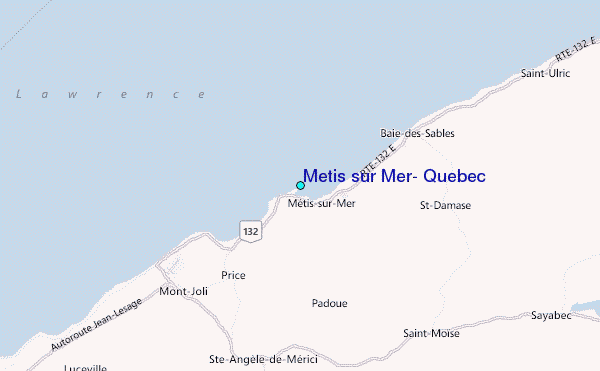
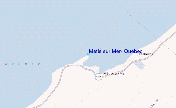
Use this relief map to navigate to tide stations, surf breaks and cities that are in the area of Metis sur Mer, Quebec.
Other Nearby Locations' tide tables and tide charts to Metis sur Mer, Quebec:
click location name for more details
 Surf breaks close to Metis sur Mer, Quebec:
|
||
|---|---|---|
| Closest surf break | Popham Read | 352 mi |
| Second closest surf break | Trayhan's | 354 mi |
| Third closest surf break | Hirtle's Beach (Hartling Bay) | 354 mi |
| Fourth closest surf break | Backyards | 356 mi |
| Fifth closest surf break | Minutes | 356 mi |


 Nearest
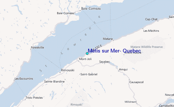