
| Distance / Altitude | Location | Report Date / Time | Live Weather | Wind | Gusts | Temp. | Visibility | Cloud |
|---|---|---|---|---|---|---|---|---|
| 12 km WSW / 52 m | Sept-Îles (Quebec) | 2026-07-25 20:00 local (2026/07/26 00:00 GMT) | no report | calm (2 km/h at 20) | 17°C | 0.0 | - - - | |
| 13 km WSW / 217 m | Sept Iles Airport (Quebec) | 2026-07-25 20:00 local (2026/07/26 00:00 GMT) | Dry and partly cloudy | light winds from the ENE (6 km/h at 60) | 16°C | 48 | broken | |
| 22 km WSW / 5 m | Sept-Iles (Canada) | 2026-07-25 20:14 local (2026/07/26 00:14 GMT) | dry | calm (3 km/h at 136) | 17°C | - | - - 0 | |
| 25 km WSW / 322 m | Pointe Noires Airport (Quebec) | 2026-07-25 20:00 local (2026/07/26 00:00 GMT) | - | calm (4 km/h at 80) | 15°C | 0.0 | ||
| 26 km SW / 24 m | Pointe Noire Cs- Que (Canada) | 2026-07-25 21:00 local (2026/07/26 01:00 GMT) | - | wind obs. (18 kph from 250 degs) was rejected (- km/h at -) | — | - | - | |
| 56 km SW / 15 m | SHIP2476 (Marine) | 2026-07-25 19:00 local (2026/07/25 23:00 GMT) | calm (3.6 km/h at 70) | — | - km | |||
| 56 km SW / 15 m | SHIP2970 (Marine) | 2026-07-25 19:00 local (2026/07/25 23:00 GMT) | calm (3.6 km/h at 60) | — | - km | |||
| 56 km SW / 3 m | SHIP4946 (Marine) | 2026-07-25 20:00 local (2026/07/26 00:00 GMT) | calm (5 km/h at 350) | — | - | |||
| 56 km SW / 15 m | SHIP7590 (Marine) | 2026-07-25 20:00 local (2026/07/26 00:00 GMT) | calm (5.4 km/h at 350) | — | - km | |||
| 56 km SW / 3 m | SHIP1213 (Marine) | 2026-07-25 20:00 local (2026/07/26 00:00 GMT) | calm (4 km/h at 60) | — | - |

| Contours: | Roads & Rivers: | Select a
tide station / surf break / city |
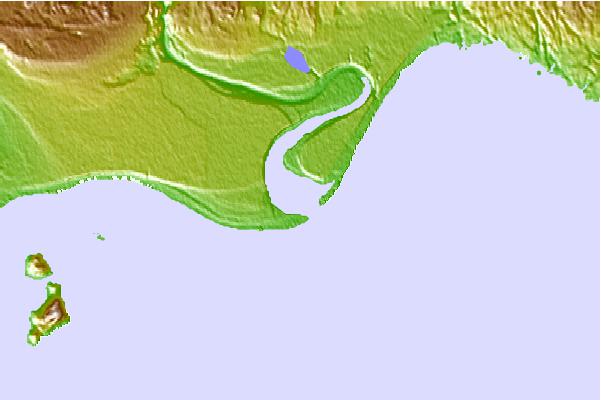
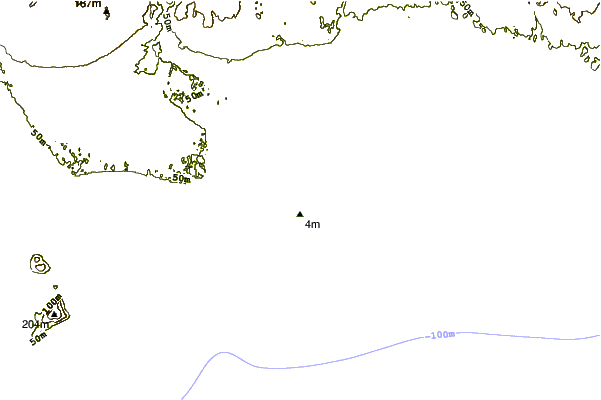
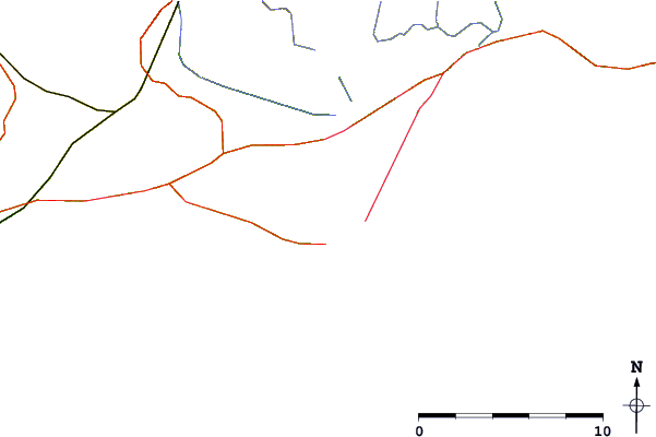
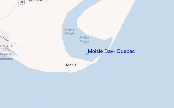
Use this relief map to navigate to tide stations, surf breaks and cities that are in the area of Moisie Bay, Quebec.
Other Nearby Locations' tide tables and tide charts to Moisie Bay, Quebec:
click location name for more details
 Surf breaks close to Moisie Bay, Quebec:
|
||
|---|---|---|
| Closest surf break | Ingonish Beach | 359 mi |
| Second closest surf break | Backyards | 405 mi |
| Third closest surf break | Lawrencetown Right Point | 405 mi |
| Fourth closest surf break | Minutes | 405 mi |
| Fifth closest surf break | Lawrencetown Left Point | 405 mi |


 Nearest
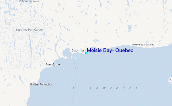