
| Distance / Altitude | Location | Report Date / Time | Live Weather | Wind | Gusts | Temp. | Visibility | Cloud |
|---|---|---|---|---|---|---|---|---|
| 2 km NNE / 9 m | Moosonee Airport (Ontario) | 2026-07-06 19:00 local (2026/07/06 23:00 GMT) | no report | light winds from the SW (9 km/h at 230) | 31°C | 0.0 | - - - | |
| 2 km S / 217 m | Moosonee Airport (Ontario) | 2026-07-06 18:00 local (2026/07/06 22:00 GMT) | - | calm (0 km/h at 0) | — | |||
| 221 km NW / 9 m | Attawapiskat Airport (Canada) | 2026-07-06 18:00 local (2026/07/06 22:00 GMT) | Clear | light winds from the WSW.(Wind varies from 190 to 270 degs) (15 km/h at 250) | 29°C | 14 | ||
| 236 km SSW / 396 m | Kapuskasing CDA Airport (Ontario) | 2026-07-06 18:00 local (2026/07/06 22:00 GMT) | - | light winds from the S (9 km/h at 190) | 28°C | 0.0 | ||
| 245 km S / 218 m | Kapuskasing Cda On- Ont (Canada) | 2026-07-06 18:00 local (2026/07/06 22:00 GMT) | - | calm (4 km/h at 200) | — | - | - | |
| 245 km S / 216 m | Kapuskasing Airport (Ontario) | 2026-07-06 18:00 local (2026/07/06 22:00 GMT) | Fog shallow - | light winds from the S (17 km/h at 190) | 29°C | 24 | few few scattered | |
| 246 km S / 226 m | Kapuskasing A- Ont (Canada) | 2026-07-06 18:10 local (2026/07/06 22:10 GMT) | - | - (- km/h at -) | — | - | - - - | |
| 261 km SE / 717 m | Matagami Airport (Quebec) | 2026-07-06 18:00 local (2026/07/06 22:00 GMT) | Clear | light winds from the SW.(Wind varies from 120 to 250 degs) (9 km/h at 230) | 29°C | 14 | ||
| 263 km SE / 280 m | Matagami A- Que (71947 -0) (Canada) | 2026-07-06 18:00 local (2026/07/06 22:00 GMT) | - | wind obs. (7 kph from 250 degs) was rejected (- km/h at -) | — | - | - - - | |
| 303 km SW / 264 m | Nagagami (Aut)- Ont (Canada) | 2026-07-06 18:12 local (2026/07/06 22:12 GMT) | - | calm (4 km/h at 250) | — | - | - - - |
| Contours: | Roads & Rivers: | Select a
tide station / surf break / city |
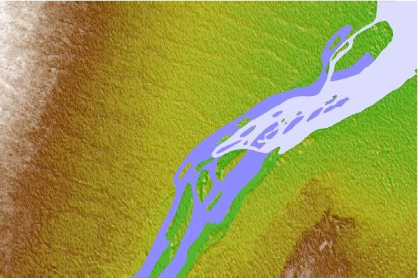
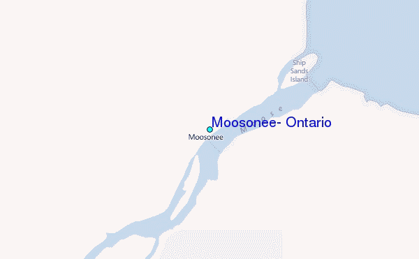
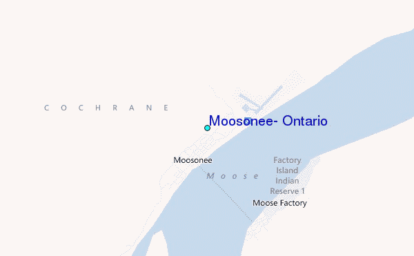
Use this relief map to navigate to tide stations, surf breaks and cities that are in the area of Moosonee, Ontario.
Other Nearby Locations' tide tables and tide charts to Moosonee, Ontario:
click location name for more details
 Surf breaks close to Moosonee, Ontario:
|
||
|---|---|---|
| Closest surf break | Marathon | 316 mi |
| Second closest surf break | Alona Bay | 339 mi |
| Third closest surf break | Manitoulin Island | 393 mi |
| Fourth closest surf break | Grand Marias | 404 mi |
| Fifth closest surf break | Au Sable Point | 405 mi |


 Nearest
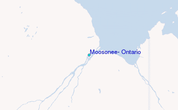