
| Distance / Altitude | Location | Report Date / Time | Live Weather | Wind | Gusts | Temp. | Visibility | Cloud |
|---|---|---|---|---|---|---|---|---|
| 1 km NNE / 3 m | BUOY-JCRN4 (Marine) | 2026-08-03 11:30 local (2026/08/03 15:30 GMT) | light winds from the SSE (13 km/h at 150) | 24°C | - | |||
| 13 km SSW / 217 m | Atlantic City Airport (New Jersey) | 2026-08-03 11:03 local (2026/08/03 15:03 GMT) | Light rain | light winds from the S (15 km/h at 190) | 24°C | 16 | few scattered broken | |
| 20 km S / 3 m | BUOY-ACYN4 (Marine) | 2026-08-03 12:00 local (2026/08/03 16:00 GMT) | - (- km/h at -) | 24°C | - | |||
| 46 km NNE / 25 m | Toms River (New jersey) | 2026-08-03 10:56 local (2026/08/03 14:56 GMT) | Moderate rain | light winds from the SSW.(Wind varies from 004 to 017 degs) (15 km/h at 210) | — | 16 | overcast | |
| 52 km NE / 4 m | Seaside Park- NJ (United States) | 2026-08-03 12:00 local (2026/08/03 16:00 GMT) | - | strong winds from the S (50 km/h at 177) | 25°C | - | - - 0 | |
| 54 km WNW / 218 m | Mount Holly Airport (New Jersey) | 2026-08-03 11:27 local (2026/08/03 15:27 GMT) | Dry and cloudy | calm (0 km/h at 0) | 24°C | 16 | broken broken overcast | |
| 54 km N / 218 m | Wrightst/Mcguire Airport (New Jersey) | 2026-08-03 11:30 local (2026/08/03 15:30 GMT) | Moderate rain | light winds from the SSW (15 km/h at 210) | 24°C | 10 | broken overcast | |
| 57 km SW / 218 m | Millville Airport (New Jersey) | 2026-08-03 11:37 local (2026/08/03 15:37 GMT) | Light rain | light winds from the SSW.(Wind varies from 008 to 013 degs) (6 km/h at 210) | 25°C | 16 | broken broken overcast | |
| 65 km ENE / 3 m | Barnegat- NJ (Marine) | 2026-08-03 12:00 local (2026/08/03 16:00 GMT) | - (- km/h at -) | — | - | |||
| 65 km WNW / 12 m | Haddon Township (New Jersey) | 2026-08-03 12:20 local (2026/08/03 16:20 GMT) | dry | calm (3 km/h at 231) | 28°C | - | - - 0 |
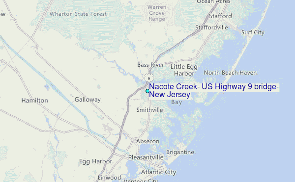
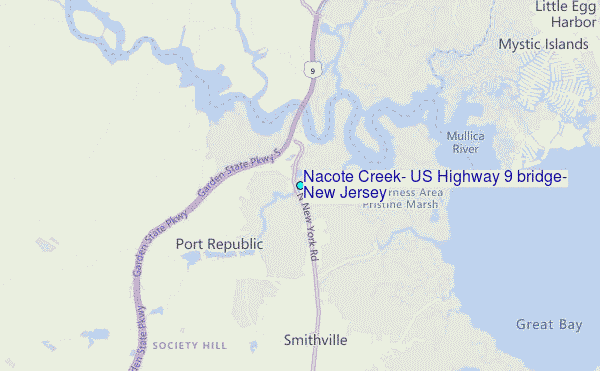
Choose Nacote Creek, US Highway 9 bridge, New Jersey Location Map Zoom:
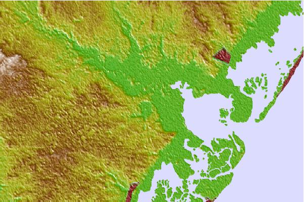
| Contours: | Roads & Rivers: | Select a
tide station / surf break / city |

Use this relief map to navigate to tide stations, surf breaks and cities that are in the area of Nacote Creek, US Highway 9 bridge, New Jersey.
Other Nearby Locations' tide tables and tide charts to Nacote Creek, US Highway 9 bridge, New Jersey:
click location name for more details
 Surf breaks close to Nacote Creek, US Highway 9 bridge, New Jersey:
|
||
|---|---|---|
| Closest surf break | Kirbys Point | 10 mi |
| Second closest surf break | Wooden Jetties | 10 mi |
| Third closest surf break | Castles | 11 mi |
| Fourth closest surf break | The Castle | 11 mi |
| Fifth closest surf break | Hollyoake | 11 mi |


 Nearest
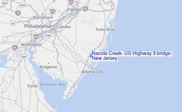