
| Distance / Altitude | Location | Report Date / Time | Live Weather | Wind | Gusts | Temp. | Visibility | Cloud |
|---|---|---|---|---|---|---|---|---|
| 5 km W / 386 m | Shimoji Shima Island Airport (Japan) | 2026-07-10 04:00 local (2026/07/09 19:00 GMT) | Dry and partly cloudy | strong winds from the NE (41 km/h at 50) | — | 9.0 | scattered broken broken | |
| 8 km ESE / 445 m | Miyakojima Island Airport (Japan) | 2026-07-10 04:00 local (2026/07/09 19:00 GMT) | Dry and partly cloudy | fresh winds from the NE (33 km/h at 50) | — | 10.0 | few scattered broken | |
| 54 km SW / 9 m | Tarama Island (Japan) | 2026-07-10 04:00 local (2026/07/09 19:00 GMT) | Dry and partly cloudy | moderate winds from the NE.(Wind varies from 350 to 070 degs) (20 km/h at 40) | — | few scattered broken | ||
| 77 km N / 15 m | hy2c125E25N (Marine) | 2026-07-10 03:02 local (2026/07/09 18:02 GMT) | strong winds from the NE (45 km/h at 55) | — | - km | |||
| 95 km SW / 77 m | Akaishi (Japan) | 2026-07-10 05:00 local (2026/07/09 20:00 GMT) | - | calm (0 km/h at 105) | 30°C | - | - - 0 | |
| 103 km N / 15 m | hy2c125E26N (Marine) | 2026-07-10 03:02 local (2026/07/09 18:02 GMT) | strong winds from the ENE (46 km/h at 58) | — | - km | |||
| 112 km NE / 15 m | hy2c126E26N (Marine) | 2026-07-10 03:02 local (2026/07/09 18:02 GMT) | strong winds from the ENE (48 km/h at 62) | — | - km | |||
| 115 km E / 15 m | hy2c126E25N (Marine) | 2026-07-10 03:03 local (2026/07/09 18:03 GMT) | near gales from the ENE (54 km/h at 62) | — | - km | |||
| 118 km SW / 445 m | Ishigakijima (Japan) | 2026-07-10 04:00 local (2026/07/09 19:00 GMT) | Light rain | strong winds from the NE (43 km/h at 40) | — | 3.5 | few few scattered | |
| 120 km S / 15 m | hy2c125E24N (Marine) | 2026-07-10 03:03 local (2026/07/09 18:03 GMT) | near gales from the NE (56 km/h at 40) | — | - km |
| Contours: | Roads & Rivers: | Select a
tide station / surf break / city |
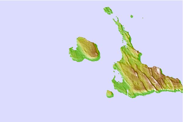
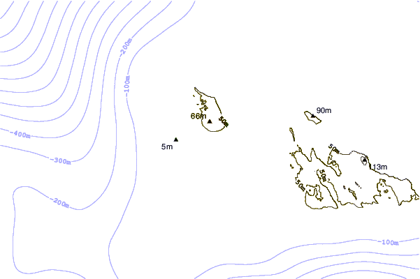
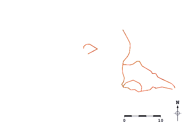
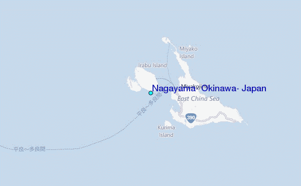
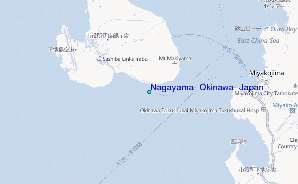
Use this relief map to navigate to tide stations, surf breaks and cities that are in the area of Nagayama, Okinawa, Japan.
Other Nearby Locations' tide tables and tide charts to Nagayama, Okinawa, Japan:
click location name for more details
 Surf breaks close to Nagayama, Okinawa, Japan:
|
||
|---|---|---|
| Closest surf break | Castles | 178 mi |
| Second closest surf break | Suicide Cliffs | 181 mi |
| Third closest surf break | Aja | 182 mi |
| Fourth closest surf break | Yonabaru | 187 mi |
| Fifth closest surf break | Green Pole | 190 mi |


 Nearest
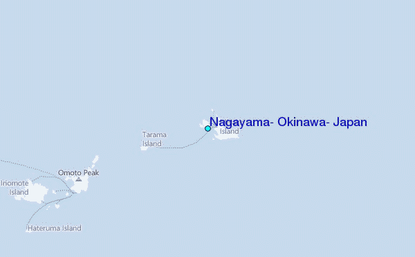