
| Distance / Altitude | Location | Report Date / Time | Live Weather | Wind | Gusts | Temp. | Visibility | Cloud |
|---|---|---|---|---|---|---|---|---|
| 17 km SSW / 17 m | Hagiwara wx (Japan) | 2026-07-10 05:02 local (2026/07/09 20:02 GMT) | dry | calm (0 km/h at 290) | 24°C | - | - - 0 | |
| 21 km SSW / 474 m | Toyama Airport (Japan) | 2026-07-10 04:00 local (2026/07/09 19:00 GMT) | Dry and partly cloudy | calm (4 km/h at 220) | 24°C | 10.0 | no cloud | |
| 22 km S / 69 m | Sasazu wx (Japan) | 2026-07-10 05:37 local (2026/07/09 20:37 GMT) | dry | calm (3 km/h at 178) | 25°C | - | - - 0 | |
| 42 km SW / 65 m | Nanto-shi wx (Japan) | 2026-07-10 03:31 local (2026/07/09 18:31 GMT) | - | calm (0 km/h at 0) | — | - | - - 0 | |
| 85 km SE / 603 m | Momose wx (Japan) | 2026-07-10 05:09 local (2026/07/09 20:09 GMT) | dry | calm (0 km/h at 186) | 22°C | - | - - 0 | |
| 88 km E / 349 m | Suzaka wx (Japan) | 2026-07-10 05:39 local (2026/07/09 20:39 GMT) | dry | calm (0 km/h at 44) | 25°C | - | - - 0 | |
| 93 km SW / 217 m | Komatsu Airport (Japan) | 2026-07-10 04:00 local (2026/07/09 19:00 GMT) | Dry and partly cloudy | light winds from the SSE (7 km/h at 160) | 23°C | 10.0 | no significant cloud | |
| 100 km ENE / 19 m | Nishiki wx (Japan) | 2026-07-10 05:48 local (2026/07/09 20:48 GMT) | dry | calm (0 km/h at 137) | 24°C | - | - - 0 | |
| 108 km SSE / 798 m | Matsushima wx (Japan) | 2026-07-10 05:30 local (2026/07/09 20:30 GMT) | dry | calm (0 km/h at 276) | 21°C | - | - - 0 | |
| 116 km ESE / 1018 m | Karuizawa (Japan) | 2026-07-10 05:44 local (2026/07/09 20:44 GMT) | dry | calm (0 km/h at 36) | 19°C | - | - - 0 |
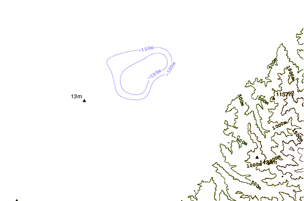
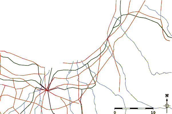
| Contours: | Roads & Rivers: | Select a
tide station / surf break / city |

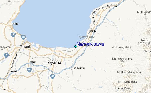
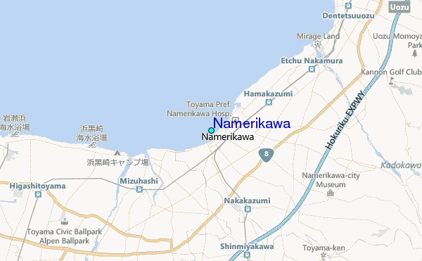
Use this relief map to navigate to tide stations, surf breaks and cities that are in the area of Namerikawa.
Other Nearby Locations' tide tables and tide charts to Namerikawa:
click location name for more details
 Surf breaks close to Namerikawa:
|
||
|---|---|---|
| Closest surf break | Sakawa River | 147 mi |
| Second closest surf break | Hanamizu River | 148 mi |
| Third closest surf break | Oiso Jetty | 148 mi |
| Fourth closest surf break | Suruga Bay | 149 mi |
| Fifth closest surf break | Akabane Long Beach | 150 mi |


 Nearest
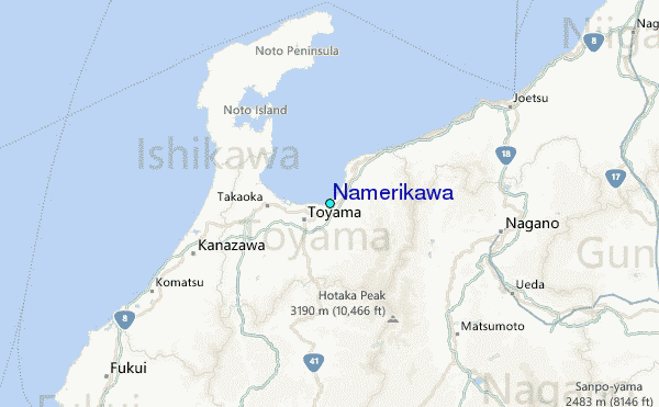