
| Distance / Altitude | Location | Report Date / Time | Live Weather | Wind | Gusts | Temp. | Visibility | Cloud |
|---|---|---|---|---|---|---|---|---|
| 263 km SSE / 216 m | Resolute Airport (N.w. Territories) | 2026-07-25 18:00 local (2026/07/25 22:00 GMT) | Dry and partly cloudy | light winds from the SSE (7 km/h at 150) | 9°C | 48 | broken | |
| 263 km SSE / 30 m | Resolute CS Airport (Nunavut) | 2026-07-25 19:00 local (2026/07/25 23:00 GMT) | no report | light winds from the WNW (7 km/h at 290) | 1°C | 0.0 | - - - | |
| 264 km SSE / 30 m | Resolute (Canada) | 2026-07-25 17:00 local (2026/07/25 21:00 GMT) | - | wind obs. (7 kph from 270 degs) was rejected (- km/h at -) | — | - | - - - | |
| 301 km SW / 15 m | Rea Point- NU (Canada) | 2026-07-25 18:00 local (2026/07/25 22:00 GMT) | no report | wind obs. (14 kph from 160 degs) was rejected (- km/h at -) | 0°C | - | - - - | |
| 302 km SW / 12 m | Rae Point (Nunavut) | 2026-07-25 18:00 local (2026/07/25 22:00 GMT) | - | moderate winds from the N (24 km/h at 360) | 1°C | 0.0 | ||
| 361 km E / 44 m | Grise Fiord Climate- NU (Canada) | 2026-07-25 18:00 local (2026/07/25 22:00 GMT) | no report | calm (4 km/h at 130) | 1°C | - | - | |
| 402 km SE / 15 m | ASCATC271E74N (Marine) | 2026-07-25 16:52 local (2026/07/25 20:52 GMT) | light winds from the S (8 km/h at 191) | — | - km | |||
| 407 km NNE / 65 m | Eureka Climate (Canada) | 2026-07-25 19:00 local (2026/07/25 23:00 GMT) | no report | light winds from the WNW (14 km/h at 300) | 5°C | - | - - - | |
| 407 km SE / 15 m | ASCATC272E74N (Marine) | 2026-07-25 16:52 local (2026/07/25 20:52 GMT) | light winds from the SSW (6 km/h at 210) | — | - km | |||
| 408 km NNE / 198 m | Eureka Airport (N.w. Territories) | 2026-07-25 18:00 local (2026/07/25 22:00 GMT) | - | wind obs. (30 kph from 20 degs) was rejected (- km/h at -) | 3°C | 24 | few few scattered |
| Contours: | Roads & Rivers: | Select a
tide station / surf break / city |
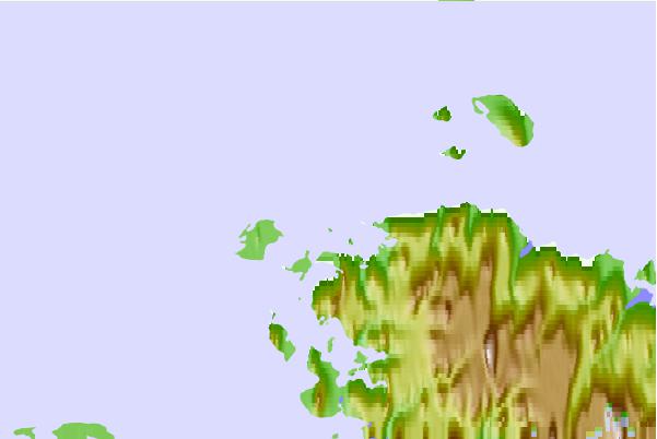
Use this relief map to navigate to tide stations, surf breaks and cities that are in the area of Norah Island, Nunavut.
Other Nearby Locations' tide tables and tide charts to Norah Island, Nunavut:
click location name for more details
 Surf breaks close to Norah Island, Nunavut:
|
||
|---|---|---|
| Closest surf break | Graveyards | 1567 mi |
| Second closest surf break | Ocean Cape | 1568 mi |
| Third closest surf break | Cannon Beach | 1569 mi |
| Fourth closest surf break | Bird Point (Tidal Bore) | 1668 mi |
| Fifth closest surf break | Eyvik | 1734 mi |


 Nearest