
| Distance / Altitude | Location | Report Date / Time | Live Weather | Wind | Gusts | Temp. | Visibility | Cloud |
|---|---|---|---|---|---|---|---|---|
| 63 km SSE / 191 m | Kingston/Norman Manley International Airport (Jamaica) | 2026-07-09 18:00 local (2026/07/09 23:00 GMT) | - | fresh winds from the ESE (31 km/h at 110) | 31°C | |||
| 87 km WSW / 193 m | Sangster/Montego Bay Airport (Jamaica) | 2026-07-09 18:00 local (2026/07/09 23:00 GMT) | - | fresh winds from the E (35 km/h at 90) | 31°C | 10.0 | few | |
| 215 km N / 18 m | lightning 4km W of Manzanillo (Cuba) | 2026-07-09 17:51 local (2026/07/09 22:51 GMT) | Thunderstorm | (- km/h at -) | — | |||
| 219 km NE / 209 m | Santiago De Cuba Airport (Cuba) | 2026-07-09 17:50 local (2026/07/09 22:50 GMT) | - | moderate winds from the ESE (24 km/h at 120) | 30°C | 9.0 | few | |
| 228 km NW / 0 m | lightning 36km NW of Media Luna (Cuba) | 2026-07-09 18:47 local (2026/07/09 23:47 GMT) | Thunderstorm | (- km/h at -) | — | |||
| 230 km N / 0 m | lightning 32km NW of Campechuela (Cuba) | 2026-07-09 18:20 local (2026/07/09 23:20 GMT) | Thunderstorm | (- km/h at -) | — | |||
| 258 km NE / 203 m | Guantanamo Bay Airport (Cuba) | 2026-07-09 17:51 local (2026/07/09 22:51 GMT) | - | moderate winds from the E (26 km/h at 90) | 32°C | 14 | few few | |
| 259 km NW / 0 m | lightning 31km SW of Santa Cruz del Sur (Cuba) | 2026-07-09 19:51 local (2026/07/10 00:51 GMT) | Thunderstorm | (- km/h at -) | — | |||
| 259 km NW / 0 m | lightning 38km SSW of Colombia (Cuba) | 2026-07-09 18:19 local (2026/07/09 23:19 GMT) | Thunderstorm | (- km/h at -) | — | |||
| 275 km NNE / 208 m | Holguin Airport (Cuba) | 2026-07-09 17:50 local (2026/07/09 22:50 GMT) | - | fresh winds from the ENE (30 km/h at 70) | — | 0.0 |
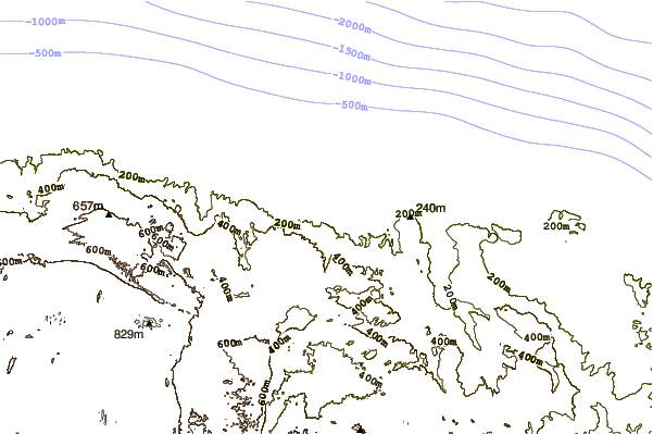
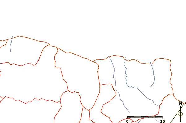
| Contours: | Roads & Rivers: | Select a
tide station / surf break / city |
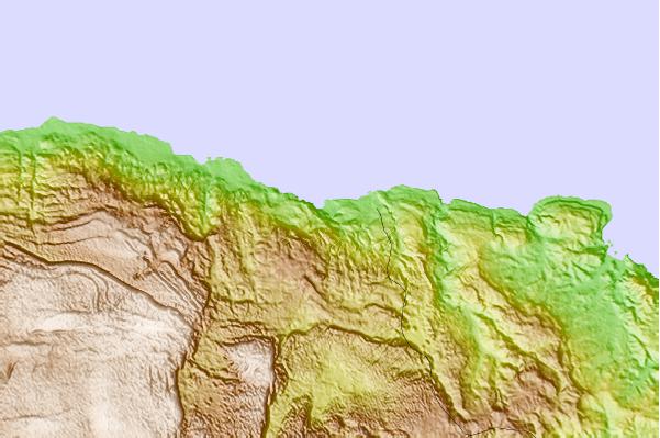
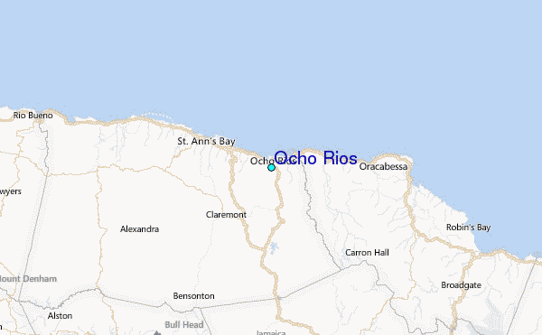
Use this relief map to navigate to tide stations, surf breaks and cities that are in the area of Ocho Rios.
Other Nearby Locations' tide tables and tide charts to Ocho Rios:
click location name for more details
 Surf breaks close to Ocho Rios:
|
||
|---|---|---|
| Closest surf break | Runaway Bay | 16 mi |
| Second closest surf break | Discovery Bay | 21 mi |
| Third closest surf break | Peenie Wally | 32 mi |
| Fourth closest surf break | Lighthouse 2 | 39 mi |
| Fifth closest surf break | Zoo (Bull Bay) | 40 mi |


 Nearest
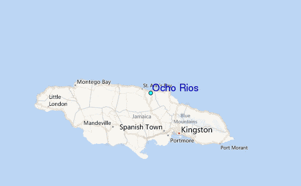