
| Distance / Altitude | Location | Report Date / Time | Live Weather | Wind | Gusts | Temp. | Visibility | Cloud |
|---|---|---|---|---|---|---|---|---|
| 14 km W / 218 m | Naha Airport (Japan) | 2026-07-10 06:30 local (2026/07/09 21:30 GMT) | Shower - in the vicinity | strong winds from the ENE (44 km/h at 70) | 30°C | 10.0 | few scattered broken | |
| 15 km NW / 468 m | Futenma Airport (Japan) | 2026-07-10 05:56 local (2026/07/09 20:56 GMT) | Dry and cloudy | fresh winds from the ENE (33 km/h at 70) | 29°C | 14 | scattered broken overcast | |
| 20 km N / 13 m | Shido wx (Japan) | 2026-07-10 05:38 local (2026/07/09 20:38 GMT) | dry | wind obs. (8 kph from 0 degs) was rejected (- km/h at -) | 29°C | - | - - 0 | |
| 24 km N / 217 m | Kadena Air Force Base Airport (Japan) | 2026-07-10 06:25 local (2026/07/09 21:25 GMT) | Dry and partly cloudy | strong winds from the ENE (44 km/h at 70) | 30°C | 16 | broken broken | |
| 119 km NNE / 16 m | Yoron Island Airport (Japan) | 2026-07-10 06:00 local (2026/07/09 21:00 GMT) | Dry and cloudy | fresh winds from the E (31 km/h at 90) | 29°C | 10.0 | broken overcast | |
| 127 km E / 0 m | lightning 109km E of Okinawa (Japan) | 2026-07-10 05:18 local (2026/07/09 20:18 GMT) | Thunderstorm | (- km/h at -) | — | |||
| 168 km NNE / 29 m | Okinoerabu/okier (Japan) | 2026-07-10 06:00 local (2026/07/09 21:00 GMT) | Dry and partly cloudy | fresh winds from the E (30 km/h at 90) | 29°C | 6.0 | scattered scattered broken | |
| 295 km SW / 445 m | Miyakojima Island Airport (Japan) | 2026-07-10 06:00 local (2026/07/09 21:00 GMT) | Light rain | strong winds from the NE (41 km/h at 40) | — | 3.0 | scattered broken | |
| 302 km SW / 386 m | Shimoji Shima Island Airport (Japan) | 2026-07-10 06:00 local (2026/07/09 21:00 GMT) | Dry and partly cloudy | strong winds from the NE (39 km/h at 50) | — | 10.0 | few scattered broken | |
| 317 km NE / 416 m | Amami Airport (Japan) | 2026-07-10 06:00 local (2026/07/09 21:00 GMT) | Mist - | fresh winds from the E (31 km/h at 90) | 29°C | 4.1 | scattered scattered broken |
| Contours: | Roads & Rivers: | Select a
tide station / surf break / city |
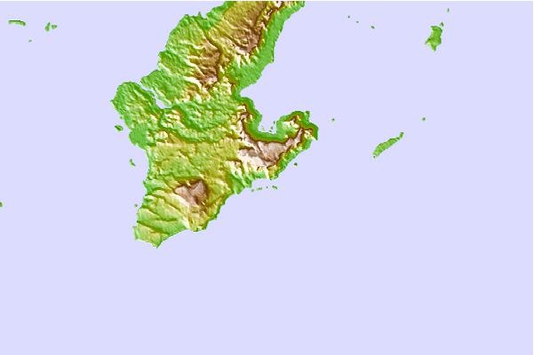
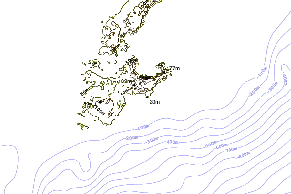
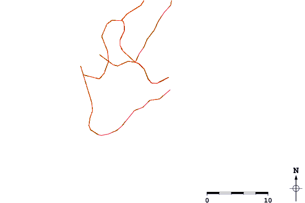
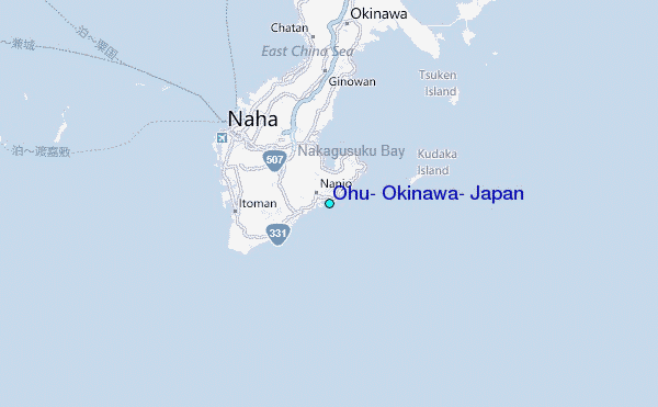
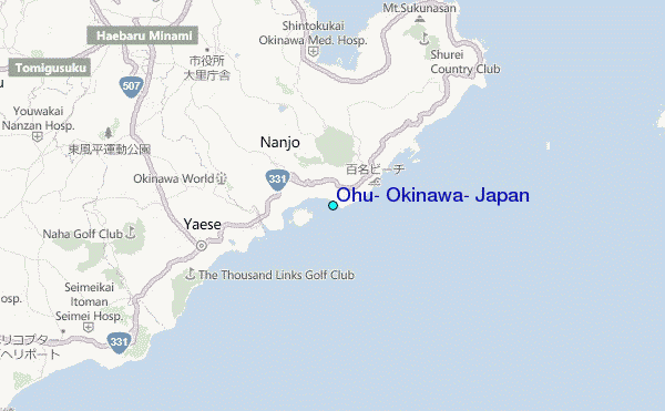
Use this relief map to navigate to tide stations, surf breaks and cities that are in the area of Ohu, Okinawa, Japan.
Other Nearby Locations' tide tables and tide charts to Ohu, Okinawa, Japan:
click location name for more details
 Surf breaks close to Ohu, Okinawa, Japan:
|
||
|---|---|---|
| Closest surf break | Green Pole | 4 mi |
| Second closest surf break | Suicide Cliffs | 5 mi |
| Third closest surf break | Yonabaru | 5 mi |
| Fourth closest surf break | Kudaka | 7 mi |
| Fifth closest surf break | Castles | 7 mi |


 Nearest
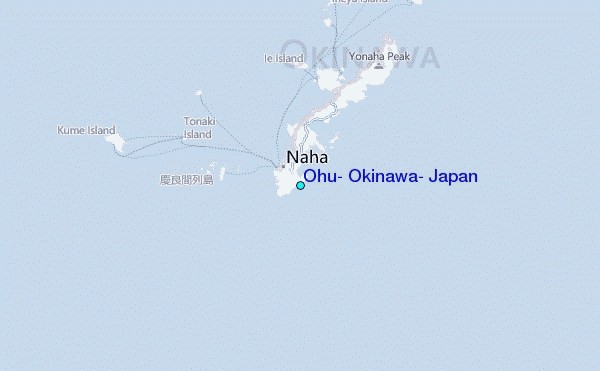